Name/Title
MapEntry/Object ID
0110.1.37Description
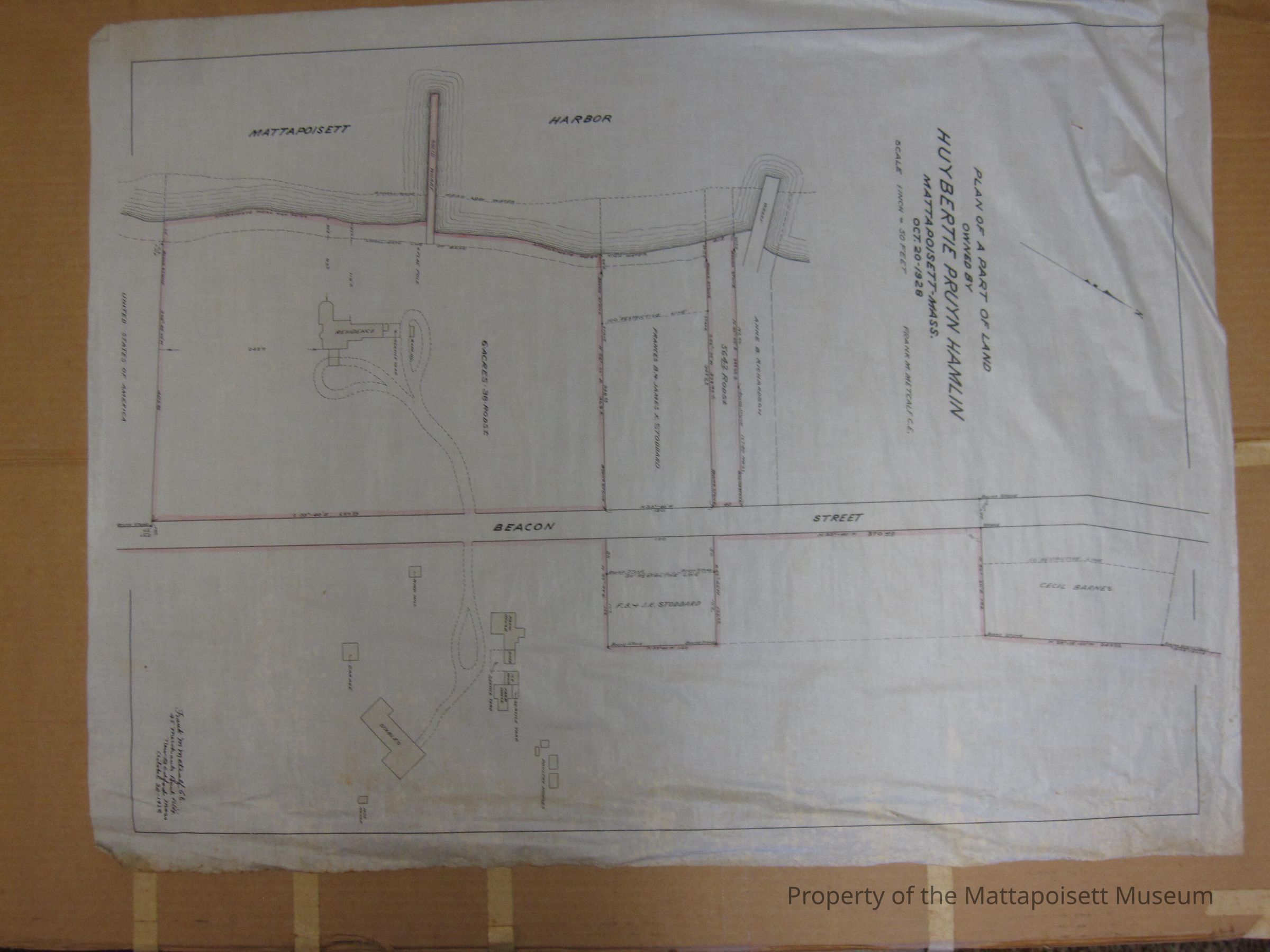
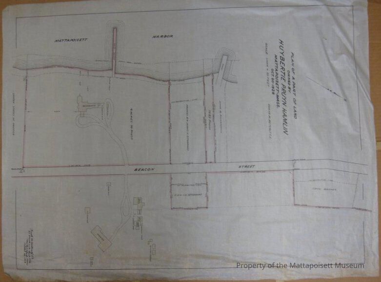
Plan of a part of land owned by Huybertie Pruyn Hamlin, Mattapoisett, Mass. October 20, 1928. Scale 1 inch = 50 feet. Frank M. Metcalf C. E. Includes Mattapoisett Harbor, Beacon Street. Cecil Barnes, Frances B. & James K. Stoddard, Anne B. Richardson properties.Collection
Maps/Surveys/Blueprints (MP)Acquisition
Accession
0110.1Acquisition Method
GiftMade/Created
Date made
1928 - 1928Notes
Date: 10/20/1928Lexicon
Nomenclature 4.0
Nomenclature Secondary Object Term
MapNomenclature Primary Object Term
CartographNomenclature Sub-Class
Graphic DocumentsNomenclature Class
Documentary ObjectsNomenclature Category
Category 08: Communication ObjectsSearch Terms
Beacon Street, Mattapoisett HarborRelationships
Related Person or Organization
Person or Organization
HamlinGeneral Notes
Note
Notes: See 1964.21.6 for other Huybertie Pruyn Hamlin map
Status: OK
Status By: Lenora Robinson
Status Date: 2016-07-01Created By
admin@catalogit.appCreate Date
July 1, 2016Updated By
admin@catalogit.appUpdate Date
August 28, 2021