Name/Title
MapEntry/Object ID
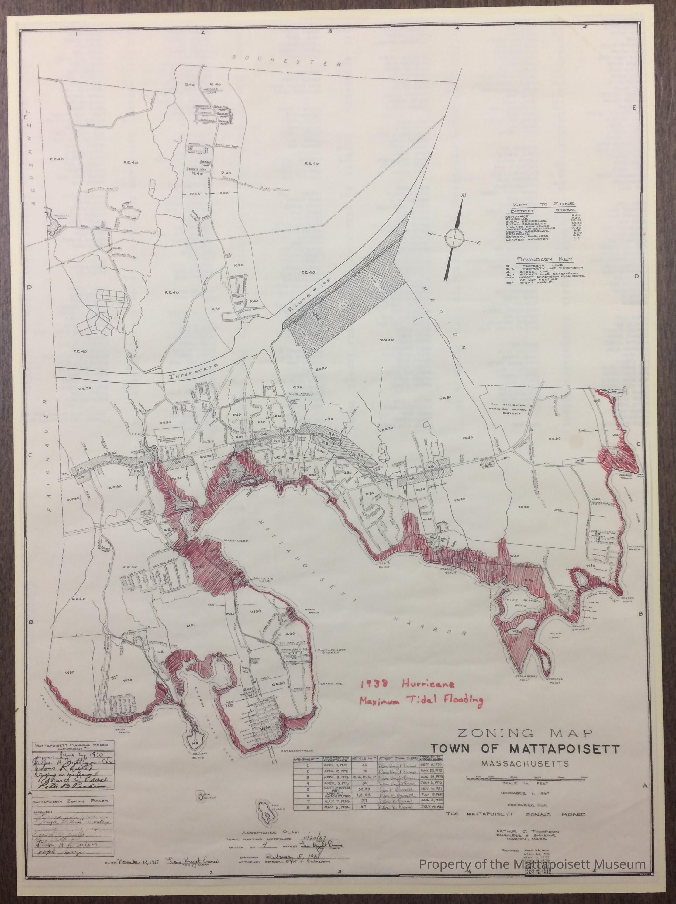
0100.1.14Description
Zoning map of Mattapoisett, created in 1968 and last updated 1986. Annotated in red to show the extent of the flooding during the 1938 hurricane.Collection
Maps/Surveys/Blueprints (MP)Acquisition
Accession
0100.1Acquisition Method
GiftLexicon
Nomenclature 4.0
Nomenclature Secondary Object Term
MapNomenclature Primary Object Term
CartographNomenclature Sub-Class
Graphic DocumentsNomenclature Class
Documentary ObjectsNomenclature Category
Category 08: Communication ObjectsCreated By
admin@catalogit.appCreate Date
August 31, 2017Updated By
admin@catalogit.appUpdate Date
August 28, 2021