Name/Title
Town of Mattapoisett Assessor's PlansEntry/Object ID
2022.13.1Description
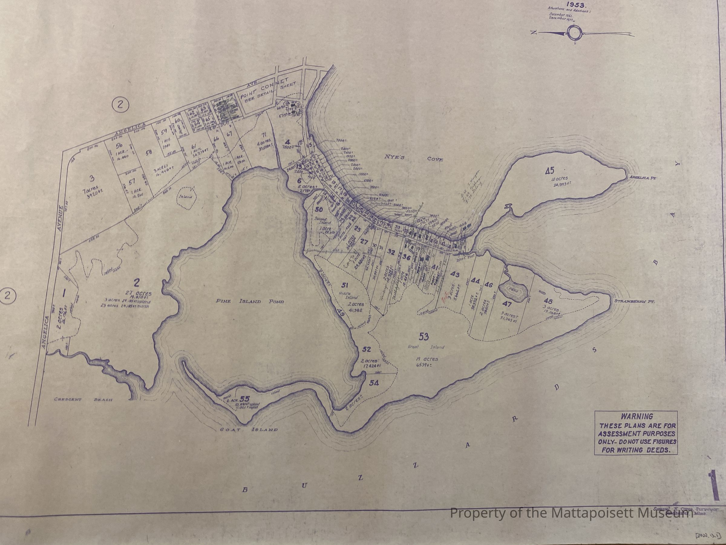
Assessor's map from Angelica Avenue in the Pine Island Pond area to Angelica Point and Strawberry Point.Acquisition
Accession
2022.13Source or Donor
Matthew ArguinAcquisition Method
GiftLexicon
Nomenclature 4.0
Nomenclature Tertiary Object Term
Survey, LandNomenclature Secondary Object Term
MapNomenclature Primary Object Term
CartographNomenclature Sub-Class
Graphic DocumentsNomenclature Class
Documentary ObjectsNomenclature Category
Category 08: Communication ObjectsLOC Thesaurus for Graphic Materials
Diazotypes, PaperMap Details
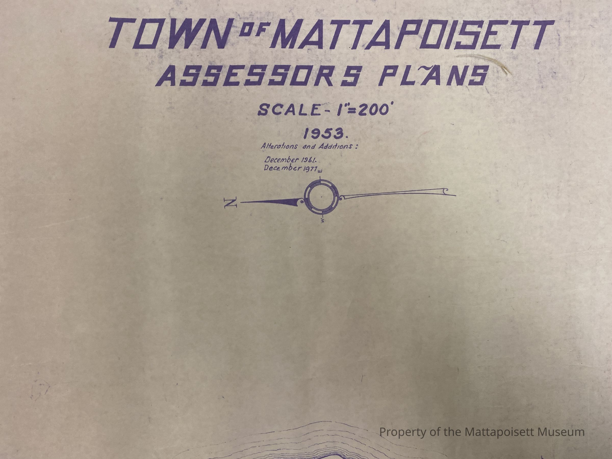
Maker or Creator
Samuel H. Corse, Mattapoisett (Mass.) Assessor's OfficeScale
1" = 200'Date Published
1953 - 1977Medium
PaperMap Notes
Alterations and additions December 1961 and December 1977Dimensions
Width
29-1/4 inLength
41 inWidth
74.295 cmLength
104.14 cmCreated By
director@mattapoisettmuseum.orgCreate Date
November 26, 2022Updated By
info@mattapoisettmuseum.orgUpdate Date
November 26, 2022