Name/Title
MapEntry/Object ID
1993.2.6Scope and Content
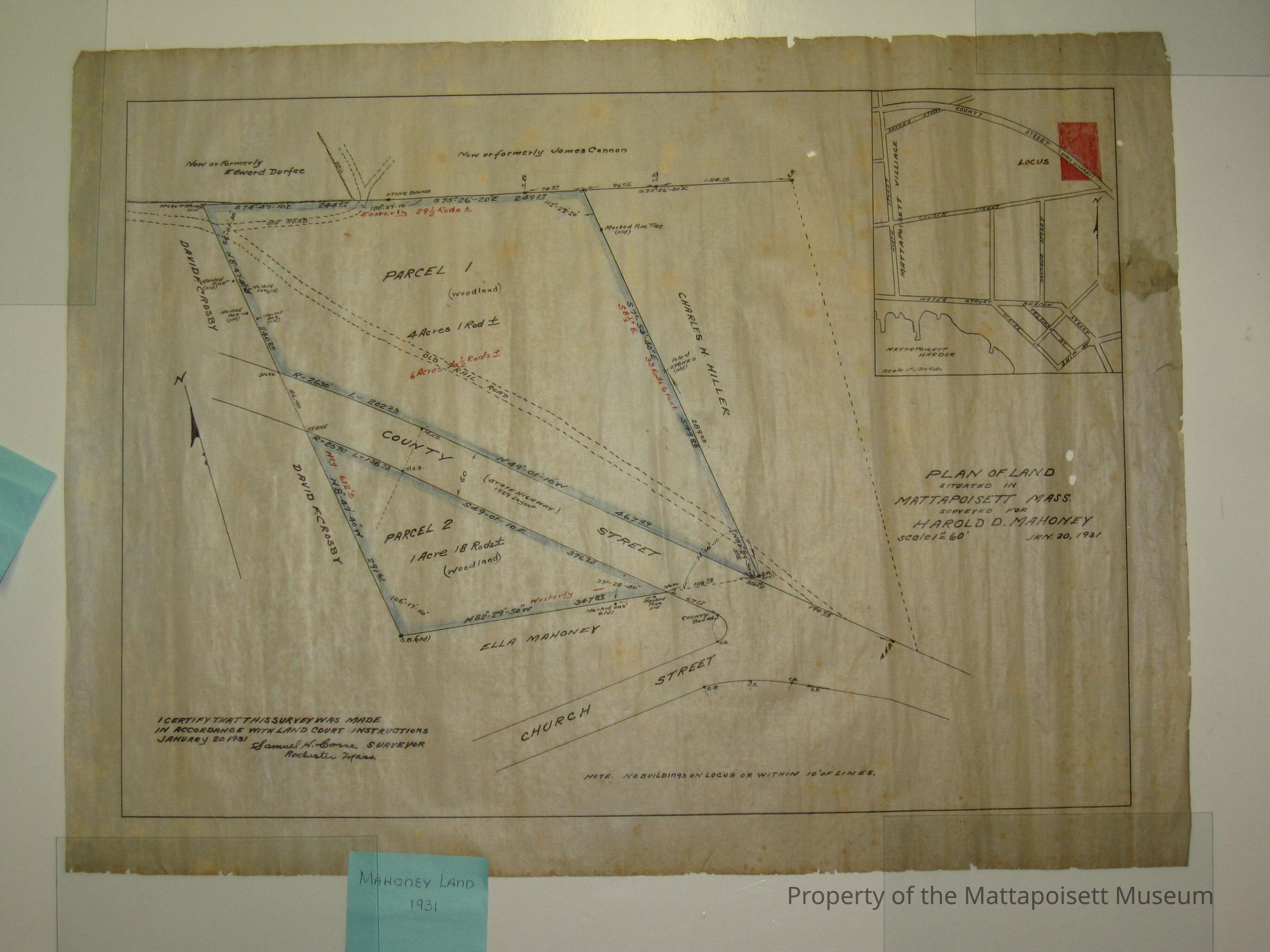
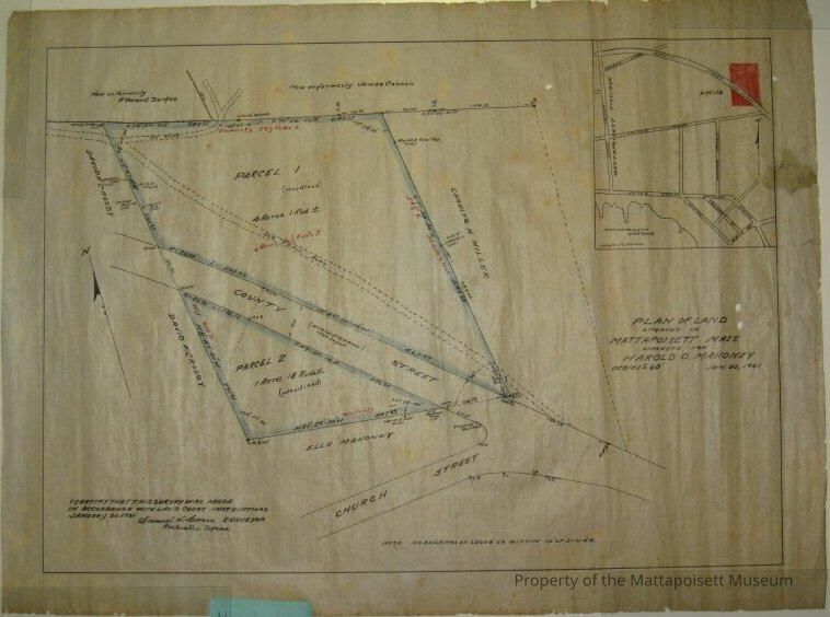
Circa 1930. Plan of land situated in Mattapoisett, surveyed for Harold D. Mahoney, Jan. 20, 1931. Also marked with MP-14Collection
Maps/Surveys/Blueprints (MP)Acquisition
Accession
1993.2Source or Donor
Jenney, RuthAcquisition Method
GiftLexicon
Nomenclature 4.0
Nomenclature Secondary Object Term
MapNomenclature Primary Object Term
CartographNomenclature Sub-Class
Graphic DocumentsNomenclature Class
Documentary ObjectsNomenclature Category
Category 08: Communication ObjectsArchive Details
Date(s) of Creation
1931 - 1931Archive Notes
Date(s): 1931Other Names and Numbers
Other Numbers
Number Type
Other NumberOther Number
C566Number Type
Old NumberOther Number
MP-14Relationships
Related Person or Organization
Person or Organization
MahoneyGeneral Notes
Note
Notes: County Street (now Rte. 6) & Church Street extension.
Status: OKCreated By
admin@catalogit.appCreate Date
April 5, 2006Updated By
admin@catalogit.appUpdate Date
August 28, 2021