Name/Title
BlueprintEntry/Object ID
0200.1.4Scope and Content
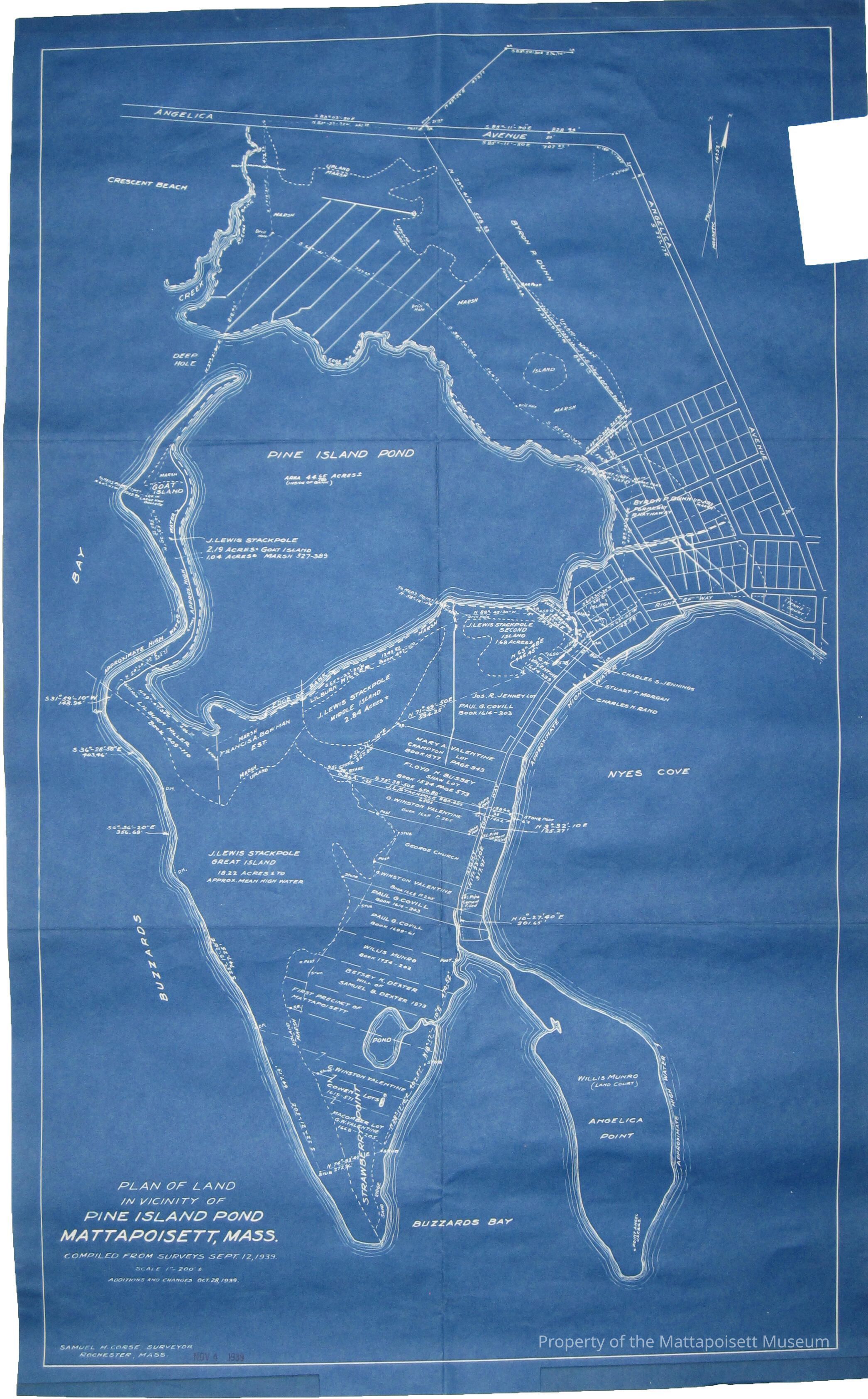
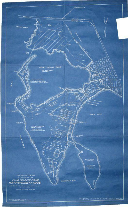
Plan of land in vicinity of Pine Island Pond, Mattapoisett, Mass. Compiled from surveys September 12, 1939. Scale 1"=200'. Additions and changes October 28, 1939. Samuel H. Course, Surveyor, Rochester, Mass, November 4, 1939. Pine Island Pond, Nyes Cove, Buzzard's Bay, Crescent Beach, Angelica AvenueCollection
Maps/Surveys/Blueprints (MP)Acquisition
Accession
0200.1Acquisition Method
GiftLexicon
Nomenclature 4.0
Nomenclature Secondary Object Term
BlueprintNomenclature Primary Object Term
Copy, ReprographicNomenclature Sub-Class
Other DocumentsNomenclature Class
Documentary ObjectsNomenclature Category
Category 08: Communication ObjectsSearch Terms
Pine Island, Nye's Cove, Buzzard's Bay, Crescent Beach, Angelica AvenueArchive Details
Date(s) of Creation
1939 - 1939Archive Notes
Date(s): 1939Created By
admin@catalogit.appCreate Date
February 4, 2015Updated By
admin@catalogit.appUpdate Date
August 28, 2021