Name/Title
BlueprintEntry/Object ID
0200.1.12Scope and Content
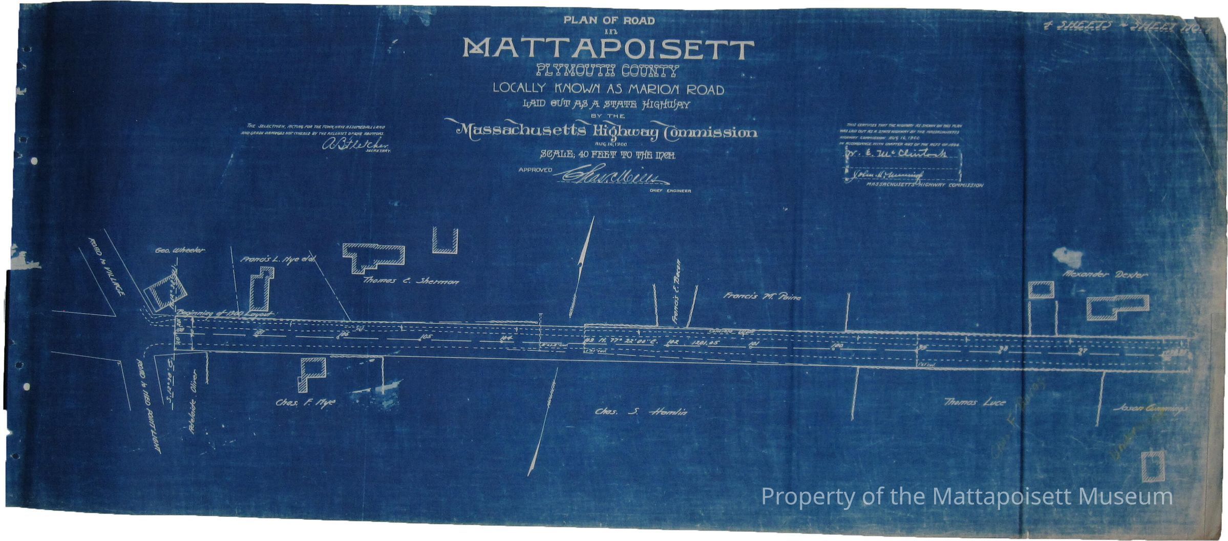
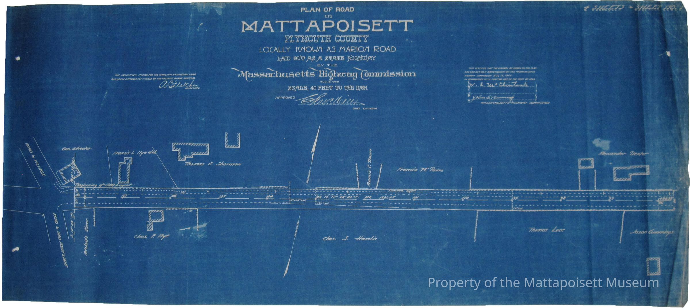
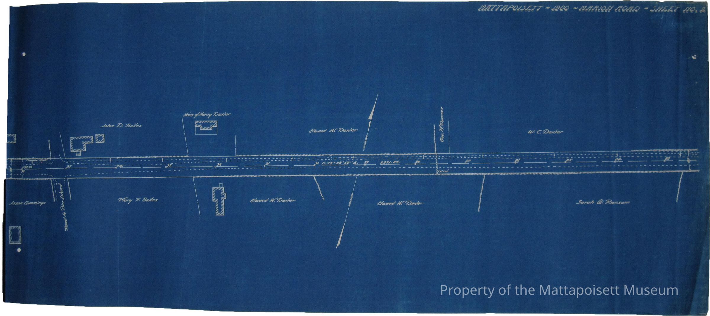
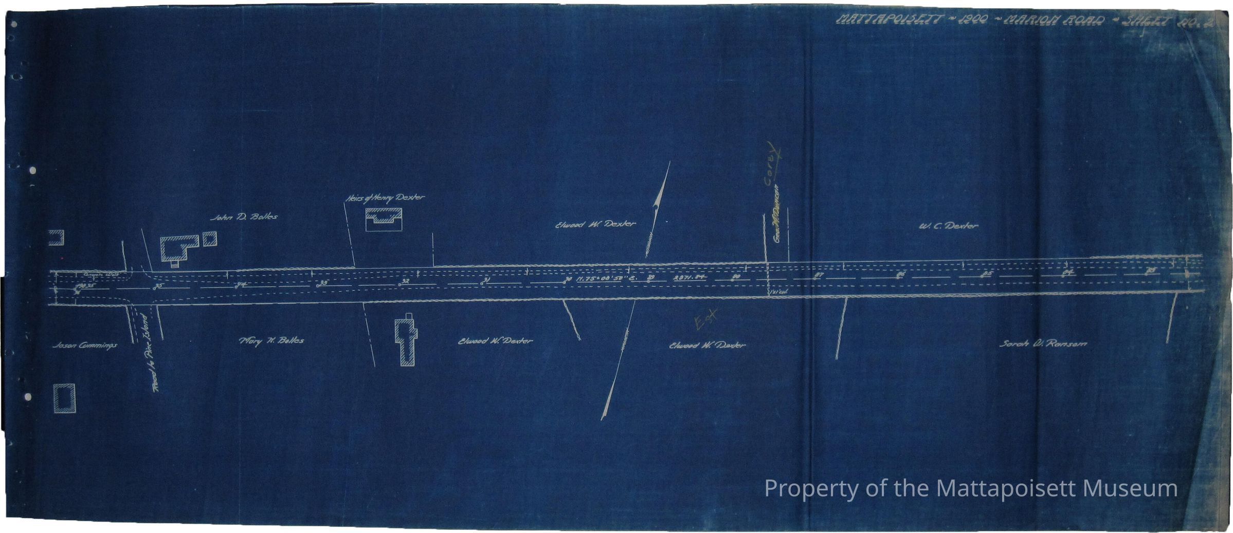
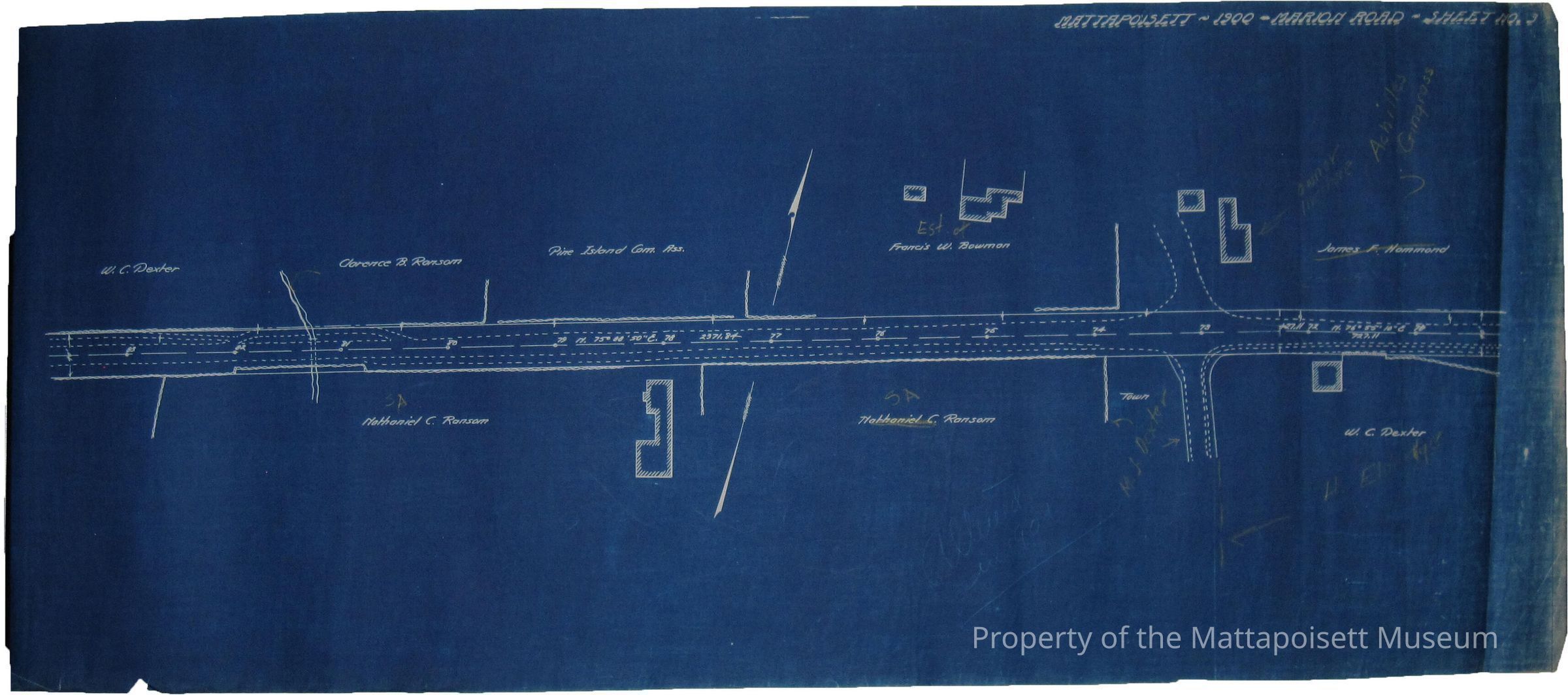
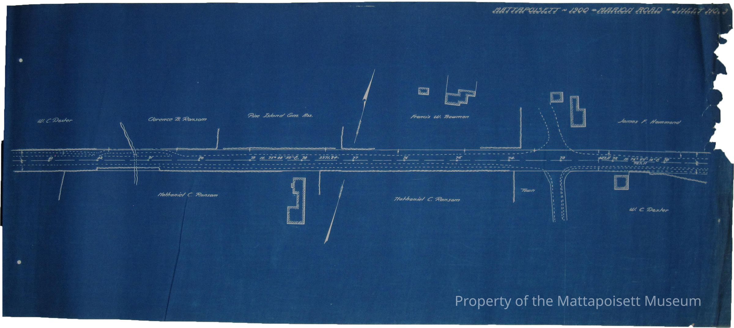
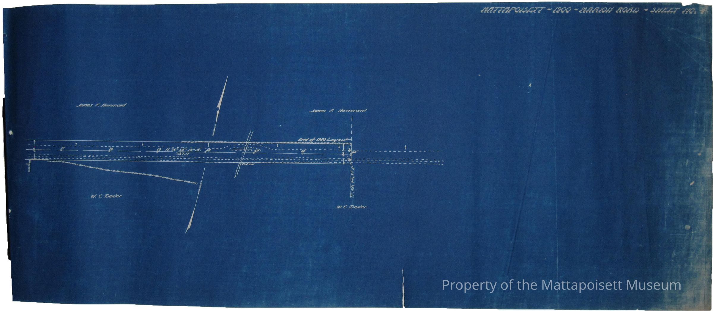
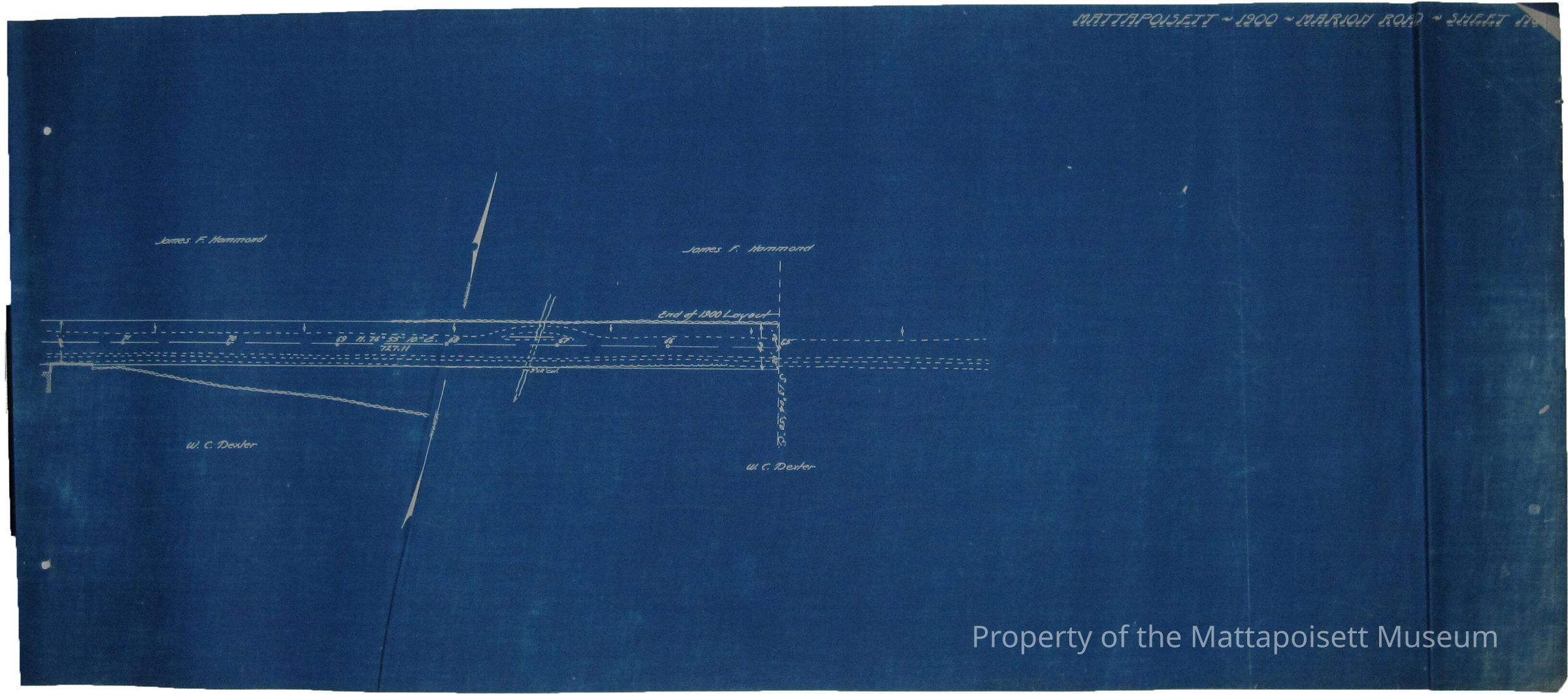
Plan of road in Mattapoisett, Plymouth County, locally known as Marion Road. Laid out as a state highway by the Massachusetts Highway Commission, August 16, 1900. Scale 40 feet to the inch. 4 sheets. 2 copies of each. Includes property owners. Another full set found.Acquisition
Accession
0200.1Acquisition Method
GiftLexicon
Nomenclature 4.0
Nomenclature Secondary Object Term
BlueprintNomenclature Primary Object Term
Copy, ReprographicNomenclature Sub-Class
Other DocumentsNomenclature Class
Documentary ObjectsNomenclature Category
Category 08: Communication ObjectsSearch Terms
Marion Road (Road to Marion)Archive Details
Date(s) of Creation
1900 - 1900Archive Notes
Date(s): 08/16/1900Created By
admin@catalogit.appCreate Date
February 23, 2015Updated By
admin@catalogit.appUpdate Date
August 28, 2021