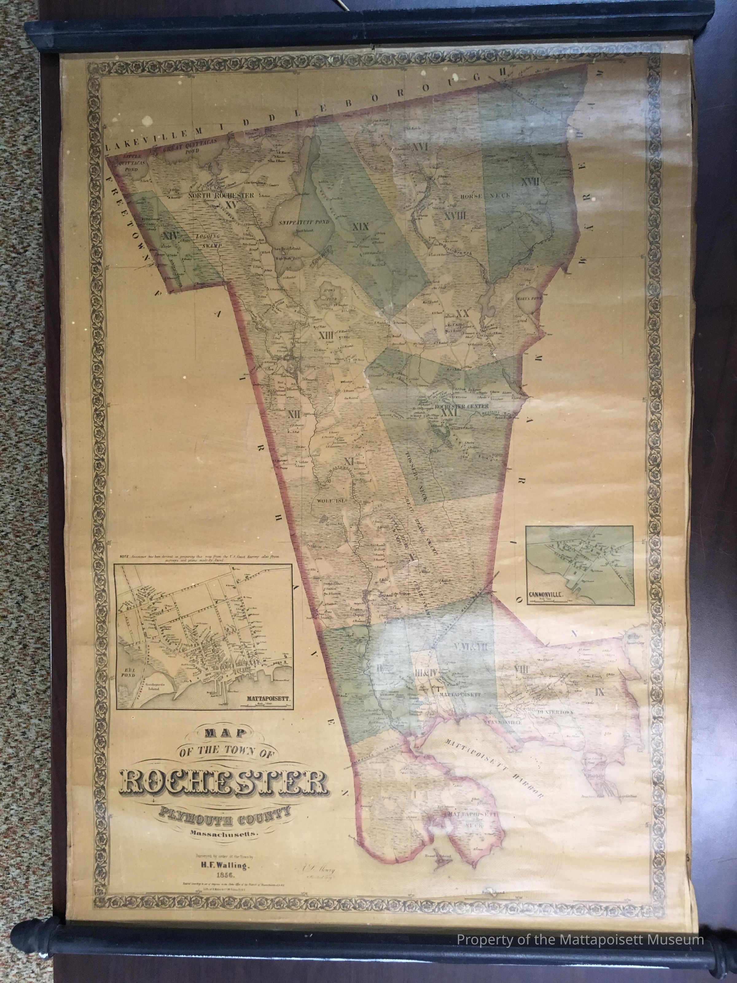
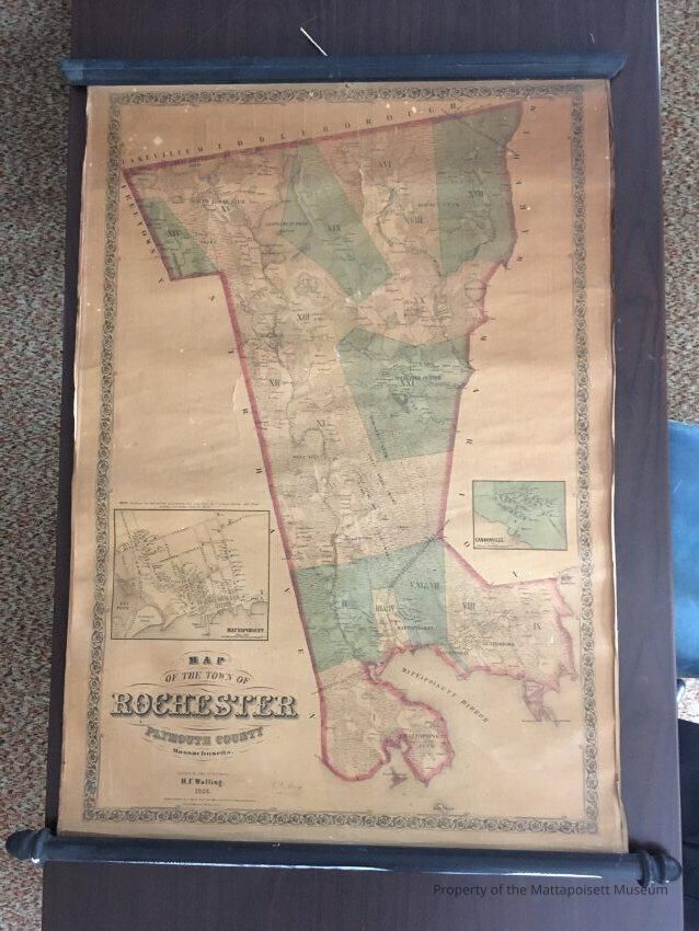
Name/Title
A Map of the Town of RochesterEntry/Object ID
2018.2.1Scope and Content
A map of Rochester by H.F. Walling, c. 1856. Shows Rochester and Mattapoisett, but does not include Marion.Acquisition
Accession
2018.2Source or Donor
Carole CliffordAcquisition Method
GiftLexicon
Nomenclature 4.0
Nomenclature Secondary Object Term
MapNomenclature Primary Object Term
CartographNomenclature Sub-Class
Graphic DocumentsNomenclature Class
Documentary ObjectsNomenclature Category
Category 08: Communication ObjectsArchive Details
Creator
H.F. WallingDate(s) of Creation
1856 - 1856General Notes
Note
Notes: Removed from wooden scroll and flattened.Created By
admin@catalogit.appCreate Date
March 5, 2018Updated By
admin@catalogit.appUpdate Date
August 28, 2021