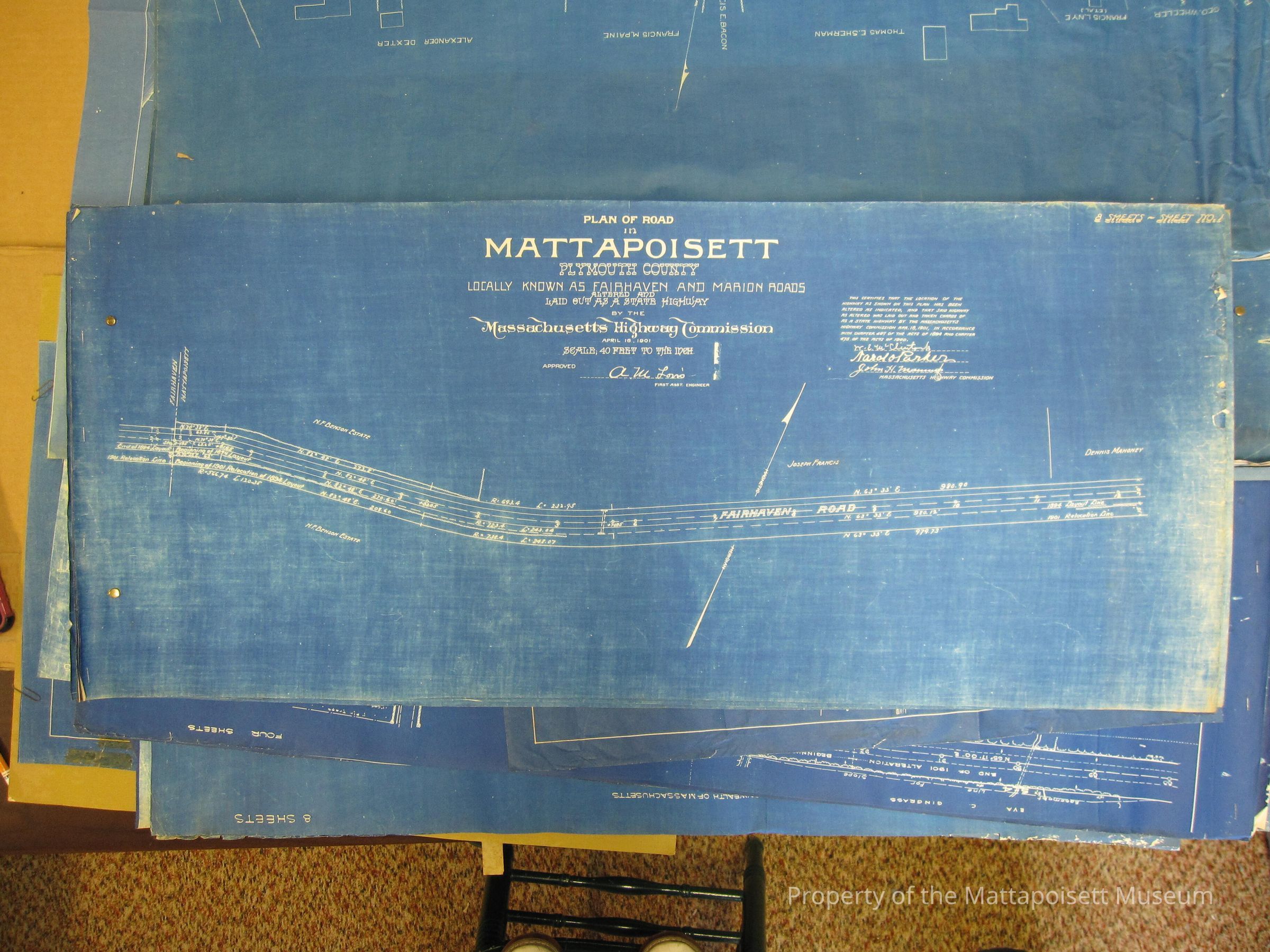
Plan of road in Mattapoisett, Plymouth County. Locally known as Fairhaven and Marion Roads. Altered and laid out as a state highway by the Massachusetts Highway Commission. April 18, 1901. Scale: 40 feet to the inch. Eight sheets attached together.
Collection
Maps/Surveys/Blueprints (MP)
Acquisition
Accession
0200.1
Acquisition Method
Gift
Lexicon
Nomenclature 4.0
Nomenclature Secondary Object Term
Blueprint
Nomenclature Primary Object Term
Copy, Reprographic
Nomenclature Sub-Class
Other Documents
Nomenclature Class
Documentary Objects
Nomenclature Category
Category 08: Communication Objects
Archive Details
Date(s) of Creation
1901 - 1901
Archive Notes
Date(s): 04/18/1901
General Notes
Note
Status: OK
Status By: Lenora Robinson
Status Date: 2016-07-01