Name/Title
BlueprintEntry/Object ID
0200.1.23Scope and Content
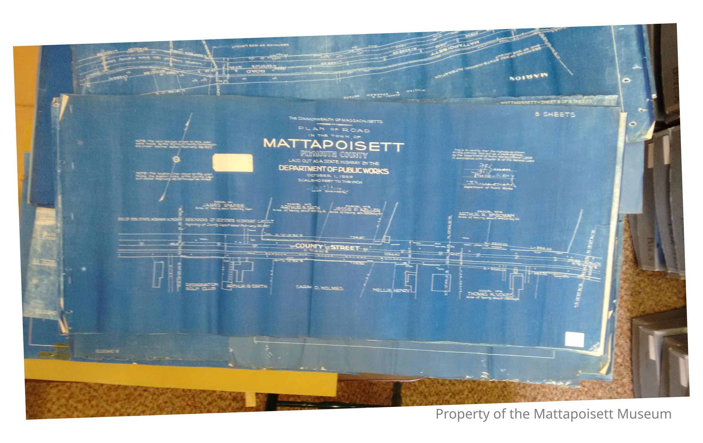
Plan of road in the town of Mattapoisett. Plymouth County. Laid out as a state highway by the Department of Public Works. October 1, 1929. Scale: 40 feet to the inch. County Street to Marion Road. Eight sheets attached.Collection
Maps/Surveys/Blueprints (MP)Acquisition
Accession
0200.1Acquisition Method
GiftLexicon
Nomenclature 4.0
Nomenclature Secondary Object Term
BlueprintNomenclature Primary Object Term
Copy, ReprographicNomenclature Sub-Class
Other DocumentsNomenclature Class
Documentary ObjectsNomenclature Category
Category 08: Communication ObjectsArchive Details
Date(s) of Creation
1929 - 1929Archive Notes
Date(s): 10/01/1929General Notes
Note
Status: OK
Status By: Lenora Robinson
Status Date: 2016-07-01Created By
admin@catalogit.appCreate Date
July 1, 2016Updated By
admin@catalogit.appUpdate Date
August 28, 2021