Name/Title
MapEntry/Object ID
0110.1.5Description
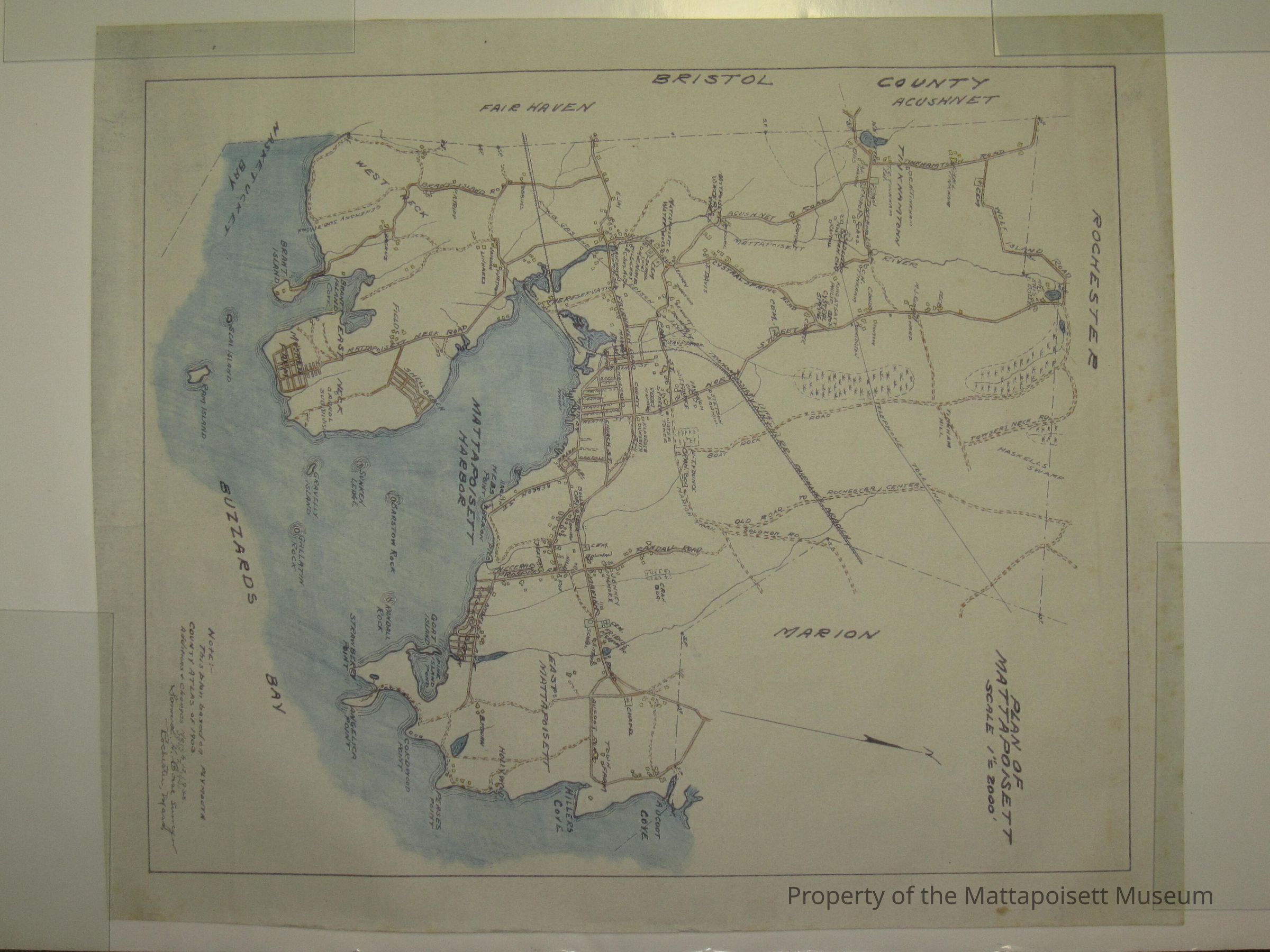
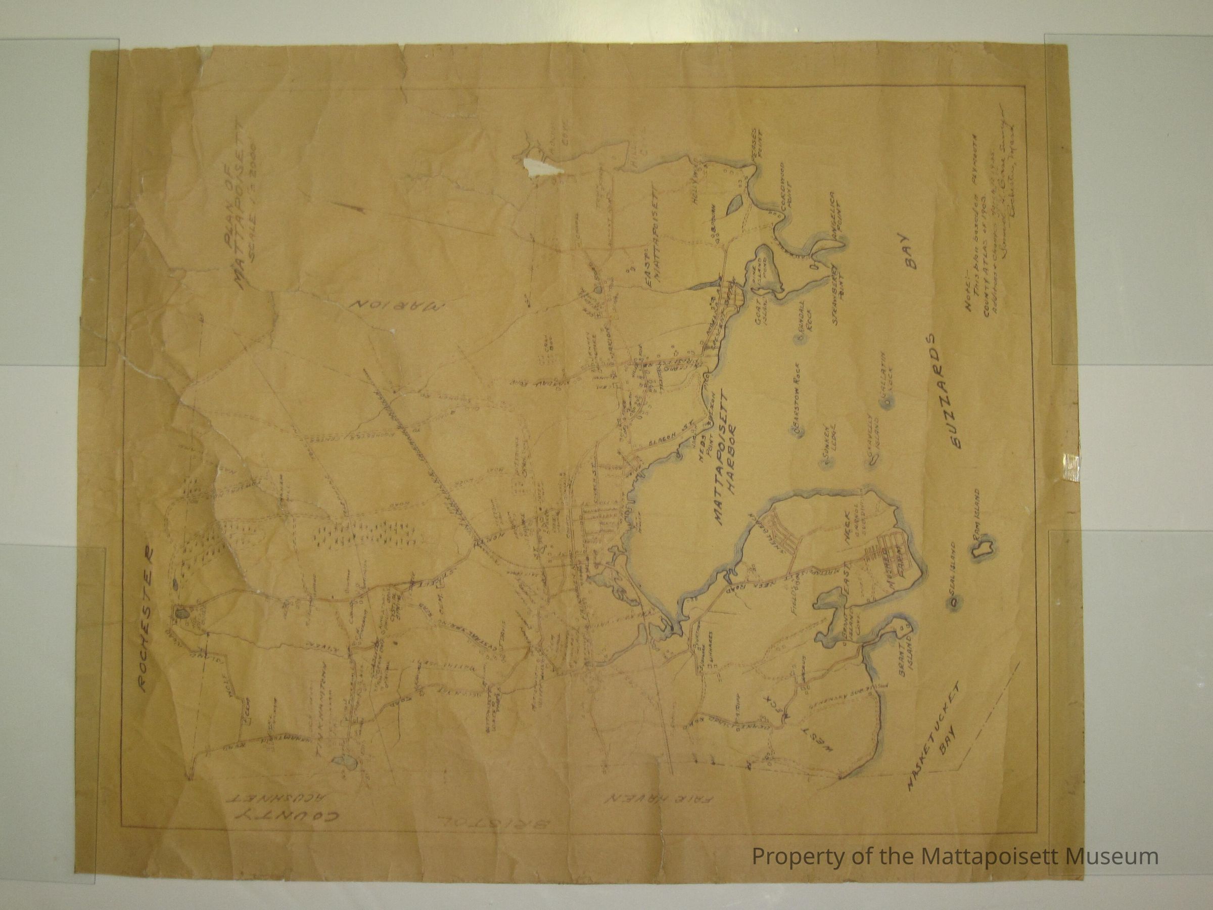
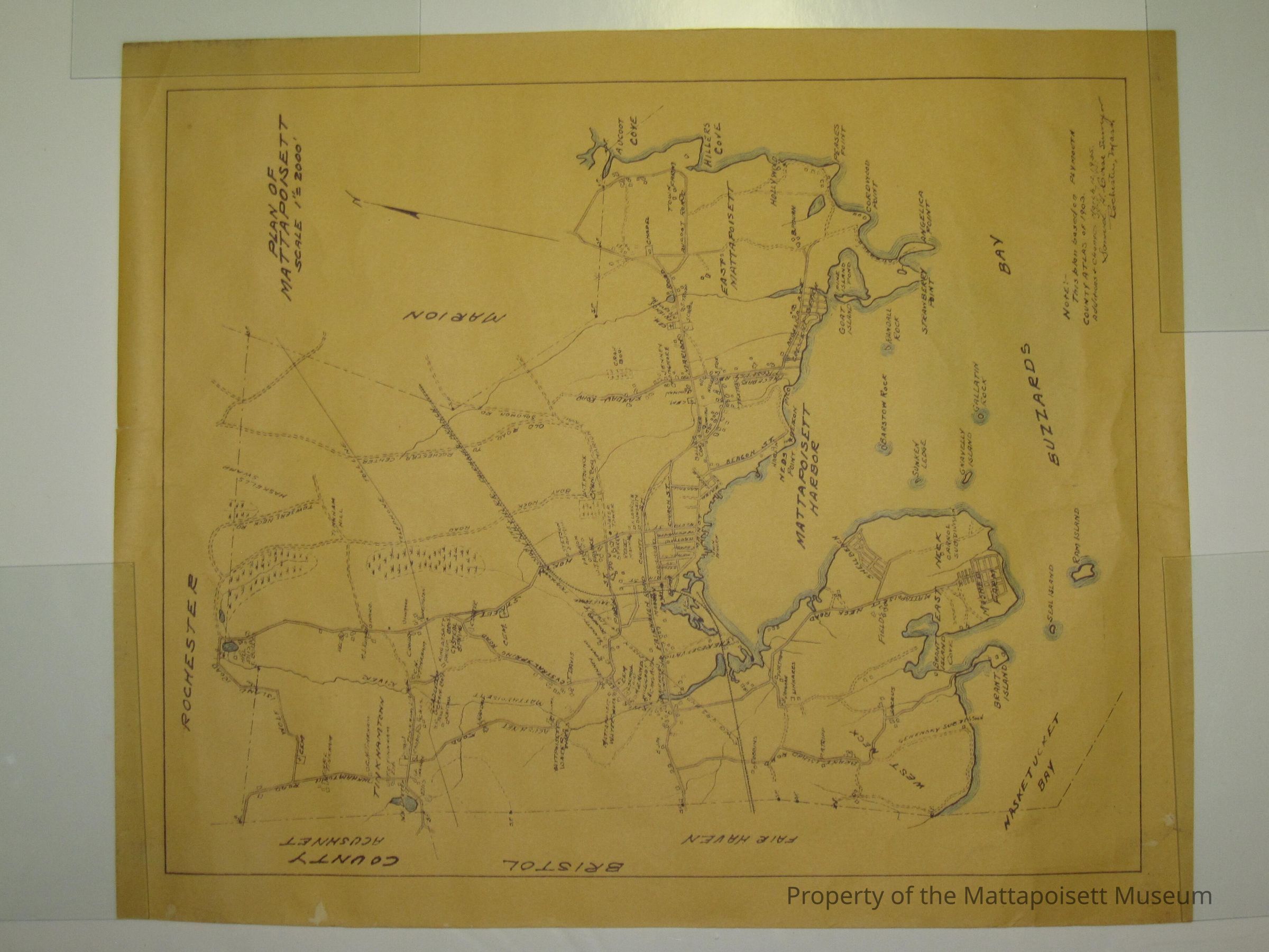
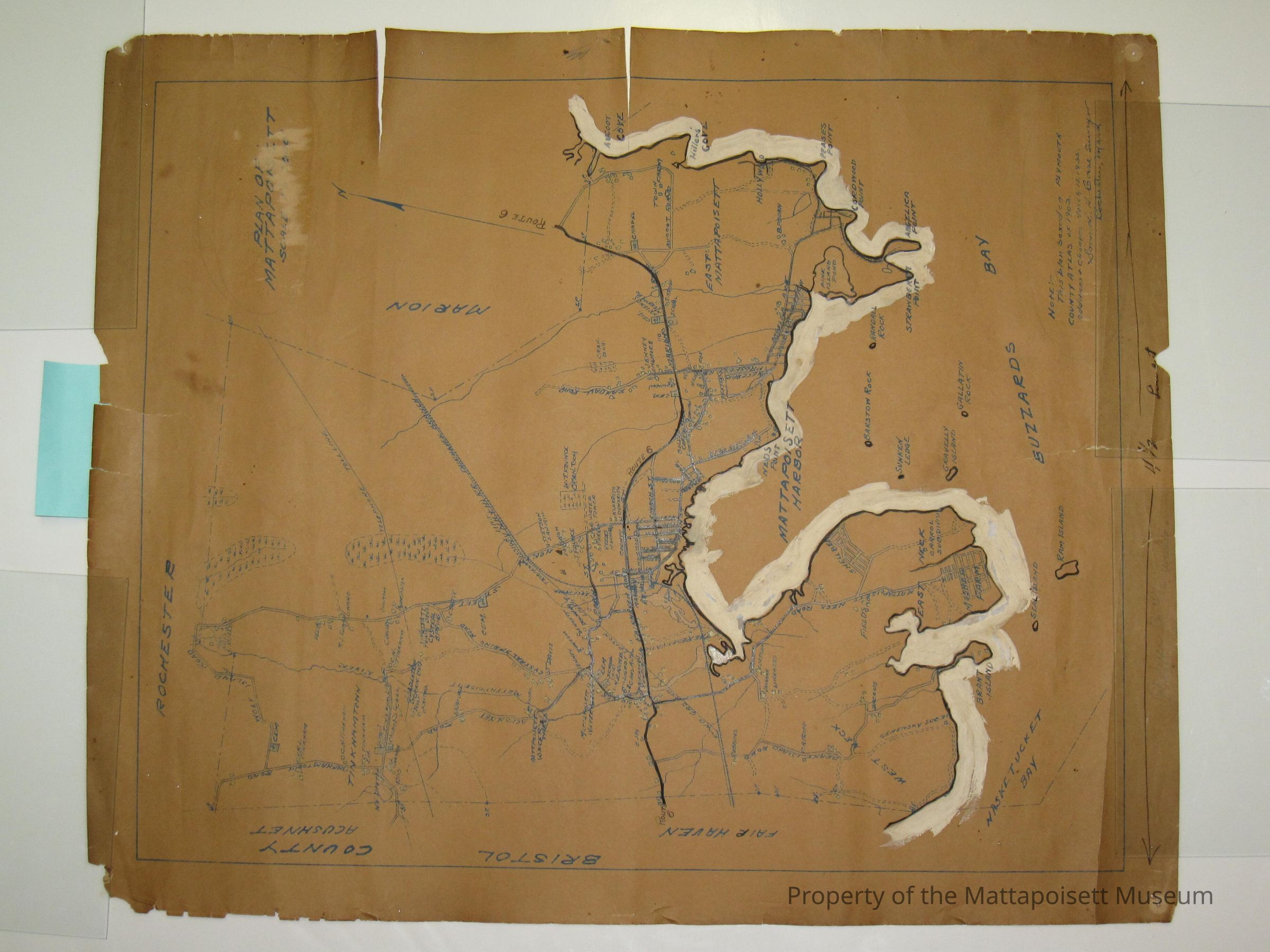
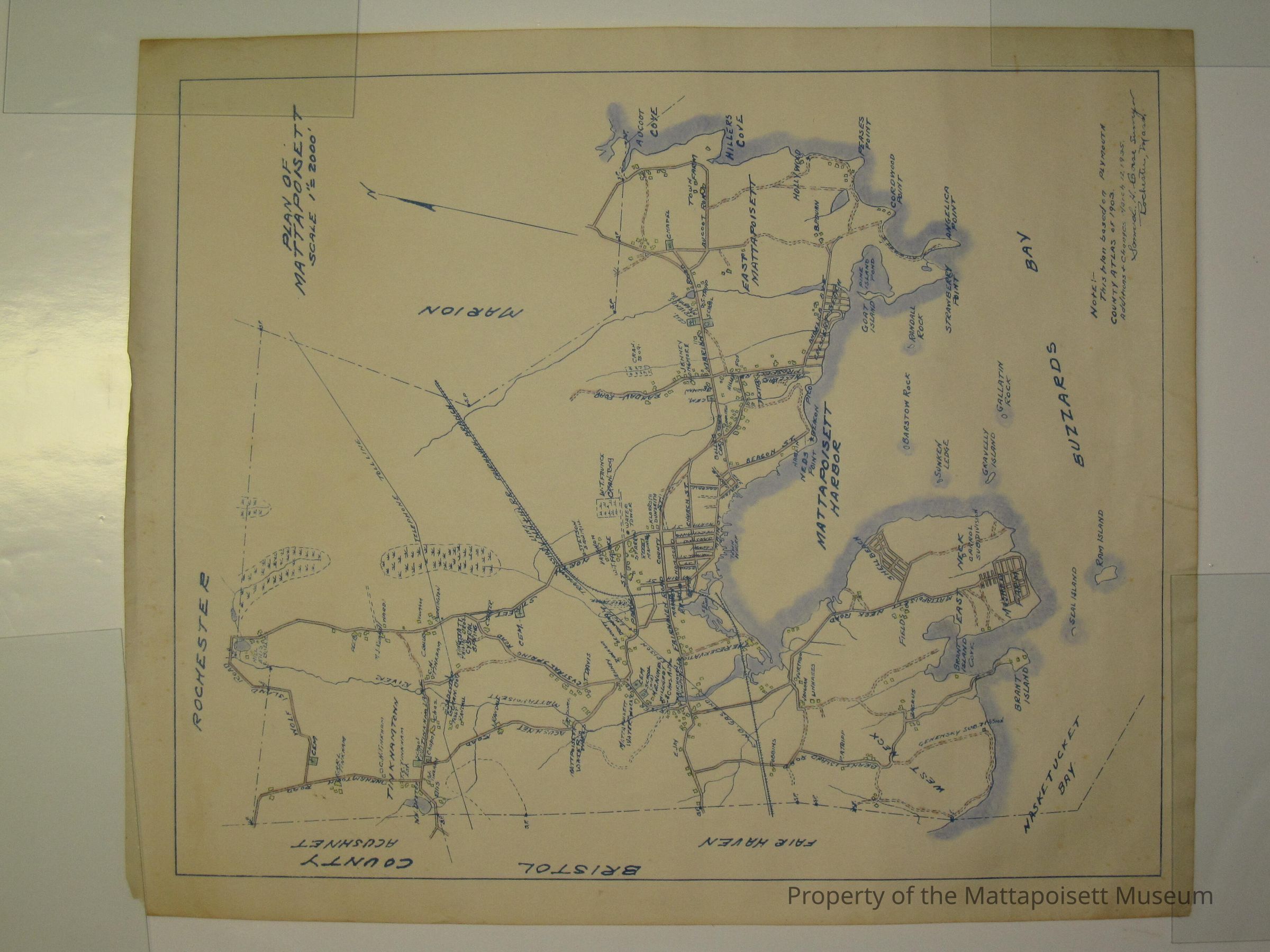
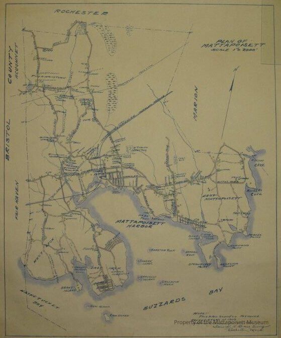
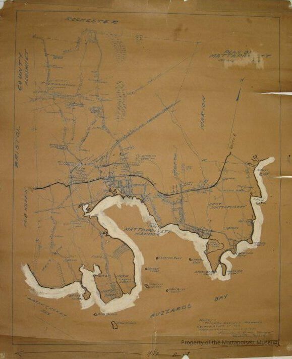
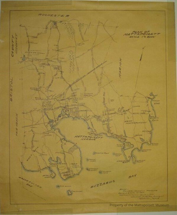
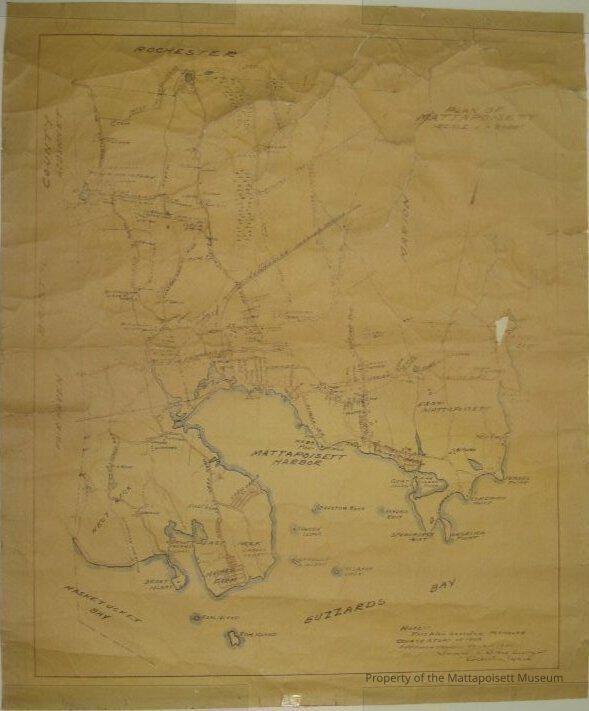
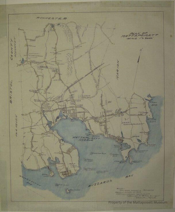
Plan of Mattapoisett. Scale 1"=2000'. Note: This plan is based on Plymouth County Atlas of 1903. Additions and changes March 12, 1935. Samuel H. Corse, Surveyor, Rochester, Mass. Roads, Water, buildings are colored. Mattapoisett Harbor, Buzzard's Bay, larger streets and villages marked. 5 of these maps of varying degrees of condition.Collection
Maps/Surveys/Blueprints (MP)Acquisition
Accession
0110.1Acquisition Method
GiftMade/Created
Date made
1935 - 1935Notes
Date: 03/12/1935Lexicon
Nomenclature 4.0
Nomenclature Secondary Object Term
MapNomenclature Primary Object Term
CartographNomenclature Sub-Class
Graphic DocumentsNomenclature Class
Documentary ObjectsNomenclature Category
Category 08: Communication ObjectsSearch Terms
Mattapoisett, MA, Mattapoisett HarborCreated By
admin@catalogit.appCreate Date
January 26, 2015Updated By
admin@catalogit.appUpdate Date
August 28, 2021