Name/Title
MapEntry/Object ID
0110.1.8Description
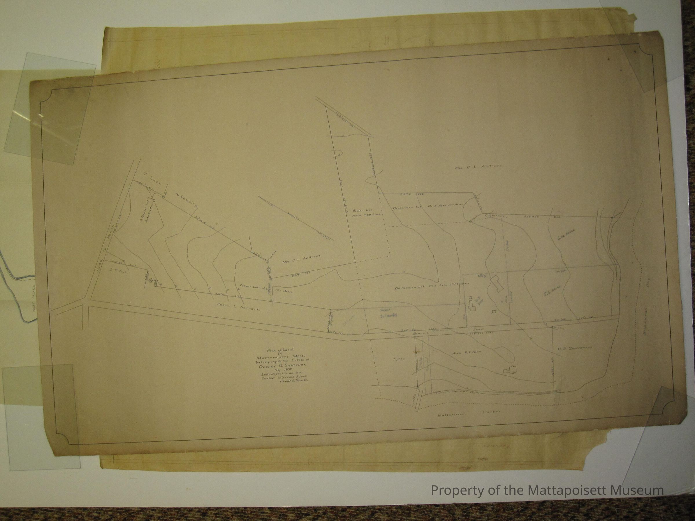
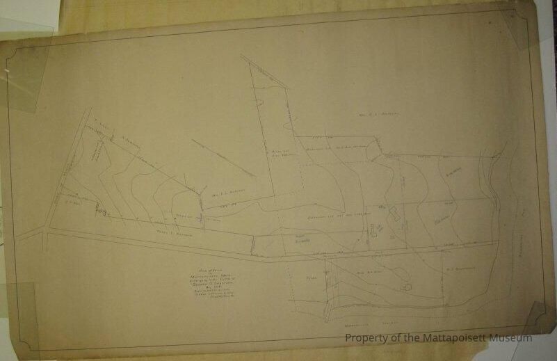
Shattuck plan of land in Mattapoisett, Mass belonging to the estate of George O. Shattuck, May 1898. Scale 100 ft to one inch. Countor intervals, 3 feet. Frederick O. Smith. On Mattapoisett Harbor, Buzzard's Bay, Beacon Street, Road to Marion. Marked with old# MP-26.Collection
Maps/Surveys/Blueprints (MP)Acquisition
Accession
0110.1Acquisition Method
GiftLexicon
Nomenclature 4.0
Nomenclature Secondary Object Term
MapNomenclature Primary Object Term
CartographNomenclature Sub-Class
Graphic DocumentsNomenclature Class
Documentary ObjectsNomenclature Category
Category 08: Communication ObjectsSearch Terms
Mattapoisett Harbor, Buzzard's Bay, Marion Road (Road to Marion), Beacon StreetOther Names and Numbers
Other Numbers
Number Type
Old NumberOther Number
MP26Relationships
Related Person or Organization
Person or Organization
ShattuckGeneral Notes
Note
Notes: Outline map of George Shattuck property on Ned's Point by Fred O. Smith.
Status: OKCreated By
admin@catalogit.appCreate Date
January 26, 2015Updated By
admin@catalogit.appUpdate Date
August 28, 2021