Name/Title
MapEntry/Object ID
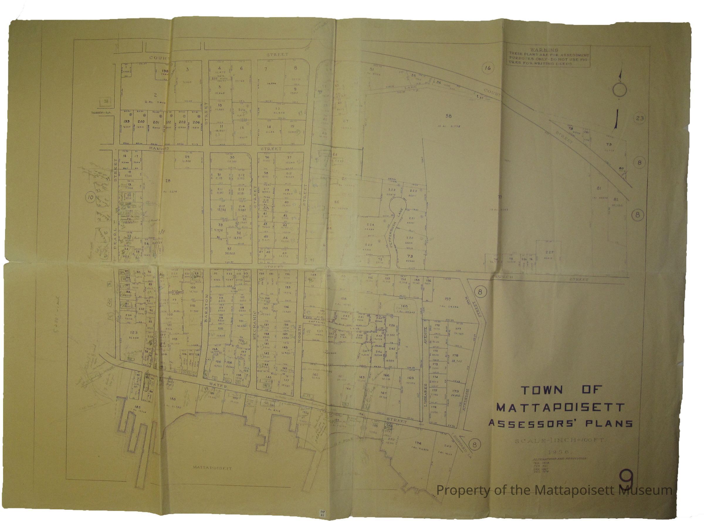
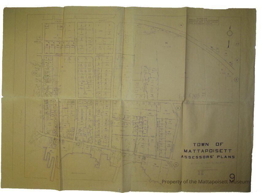
0110.1.23Description
Town of Mattapoisett Assessors’ Plans. Scale 1 inch=100ft. 1956, alterations and additions: February 1958, February 1961, December 1961, December 1974. Area is south of County Street to Harbor. Marked with MP-21Collection
Maps/Surveys/Blueprints (MP)Acquisition
Accession
0110.1Acquisition Method
GiftLexicon
Nomenclature 4.0
Nomenclature Secondary Object Term
MapNomenclature Primary Object Term
CartographNomenclature Sub-Class
Graphic DocumentsNomenclature Class
Documentary ObjectsNomenclature Category
Category 08: Communication ObjectsSearch Terms
Water Street, North Street, Barstow Street, Mechanic Street, Pearl Street, Hammond Street, County Street, Church StreetOther Names and Numbers
Other Numbers
Number Type
Old NumberOther Number
MP21Created By
admin@catalogit.appCreate Date
February 3, 2015Updated By
admin@catalogit.appUpdate Date
August 28, 2021