Name/Title
MapEntry/Object ID
0110.1.28Description
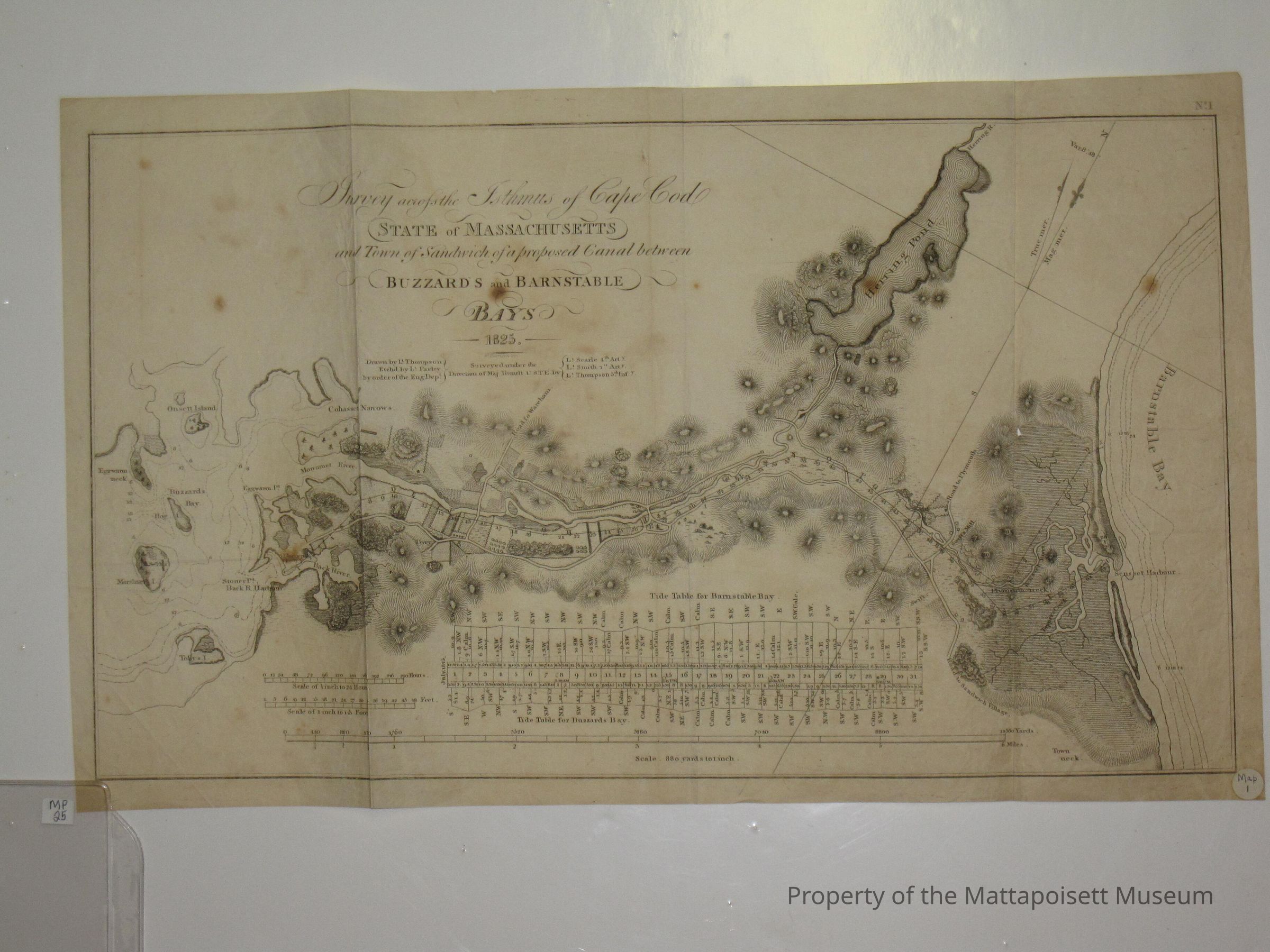
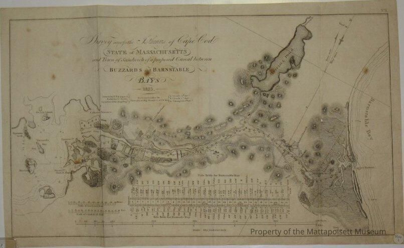
Survey across the Isthmus of Cape Cod. State of Massachusetts and Town of Sandwich of a proposed Canal between Buzzard's and Barnstable Bays. 1825. Includes tide tables for Buzzard's and Barnstable Bays. Scale 880 yards to one inch. Marked with Map 1, notecard indicates MP-25.Collection
Maps/Surveys/Blueprints (MP)Acquisition
Accession
0110.1Acquisition Method
GiftLexicon
Nomenclature 4.0
Nomenclature Secondary Object Term
MapNomenclature Primary Object Term
CartographNomenclature Sub-Class
Graphic DocumentsNomenclature Class
Documentary ObjectsNomenclature Category
Category 08: Communication ObjectsLOC Thesaurus for Graphic Materials
Canal construction, WaterfrontsSearch Terms
Cape Cod, Buzzard's Bay, Barnstable Bay, BaysOther Names and Numbers
Other Numbers
Number Type
Old NumberOther Number
MP25Created By
admin@catalogit.appCreate Date
February 4, 2015Updated By
admin@catalogit.appUpdate Date
August 28, 2021