Name/Title
A Map of the Stars (The South Pole)Entry/Object ID
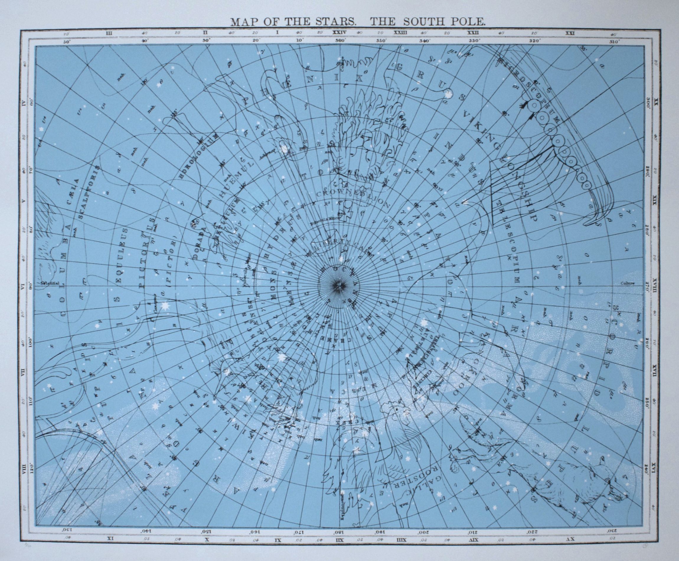
2014.05.03Description
Mitch Robertson (b.1974, Woodstock, Ontario) is a concept artist who uses photography, video, sculpture, the Internet, installations and drawing to create works that both celebrate and condemn tourism, globalization and consumerism.
In his prints of the North and South Poles, Robertson illustrates an overlay of constellations on a bright blue map of the stars. Like the practice of writing history, his works parallel the variety of information that can be established from a single source. Each group of stars is interpreted differently forming a network of historical figures and animals that reflect the unique and diverse cultures and peoples who have tried to make sense of the cosmos. Similarly, these constellations have shaped how astrological knowledge is understood.
Robertson currently lives and works in Toronto. Robertson began exhibiting in 1998 and has shown across Canada and New Zealand, as well as in the USA, Switzerland, Northern Ireland, England, Germany, Scotland and Australia. His work is included in numerous public, corporate and private art collections nationally and internationally.Artwork Details
Medium
silk screen print on rag paperMade/Created
Date made
2010Edition
ed. 8/21Dimensions
Height
87.3 cmWidth
109.2 cm