Name/Title
Glendale ParkScope and Content
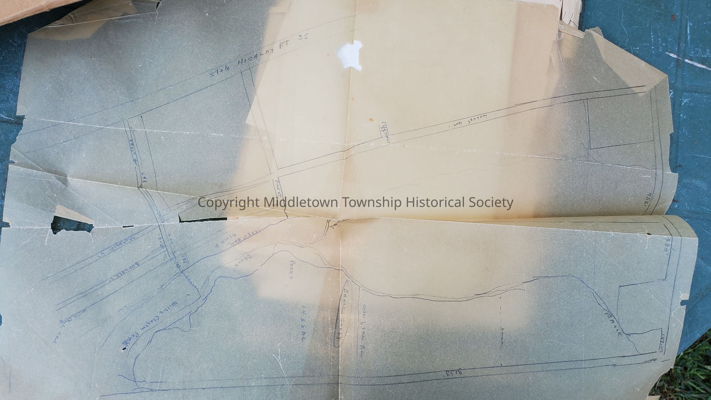
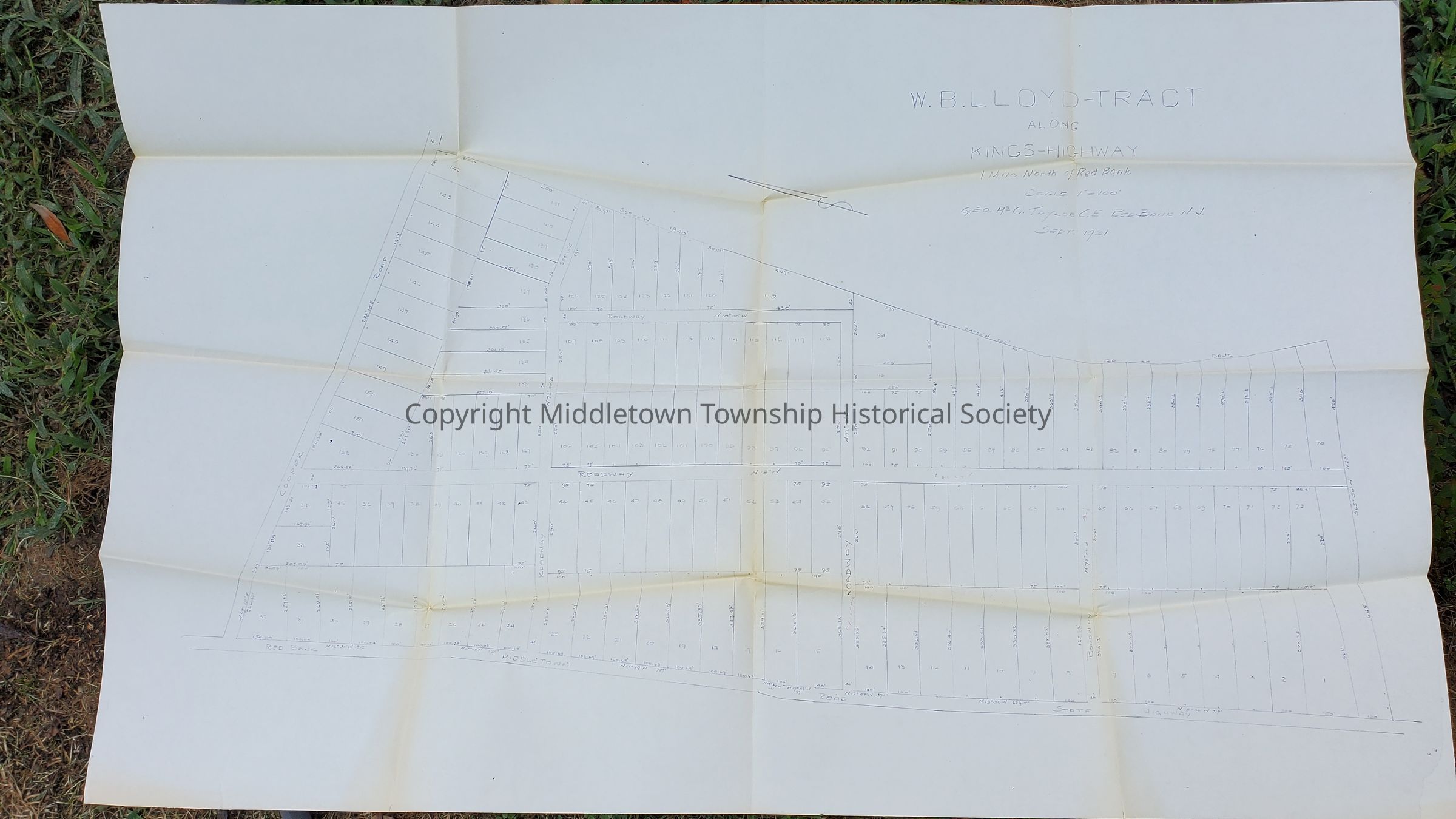
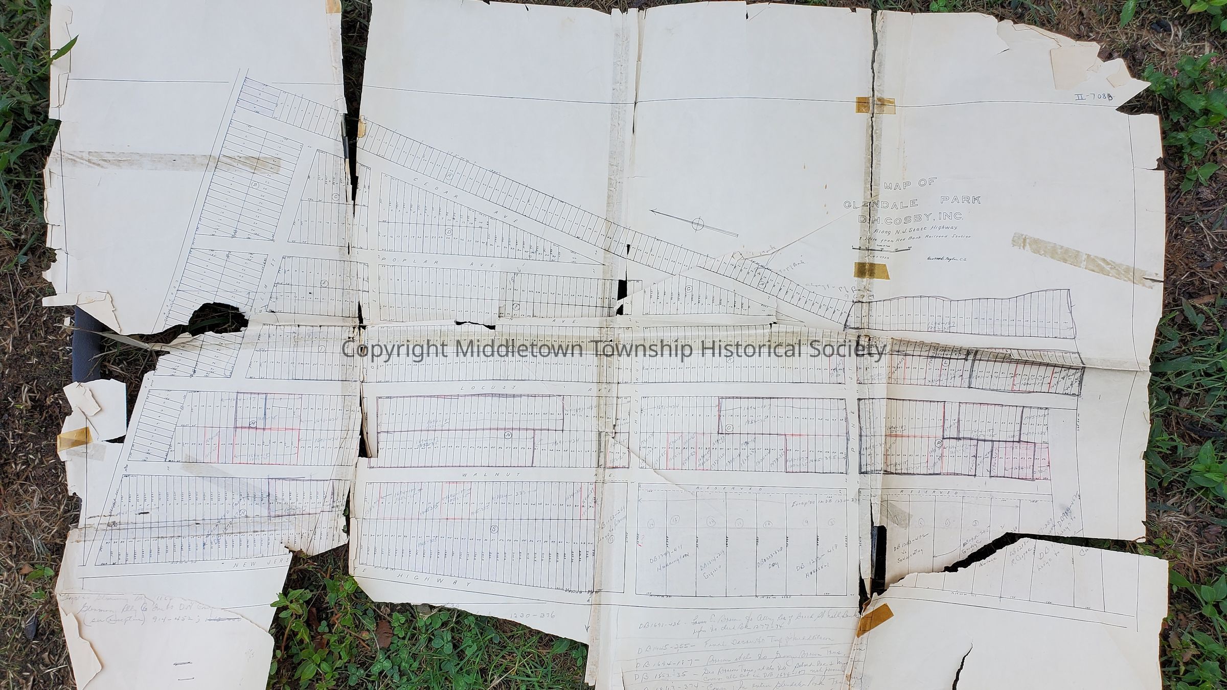
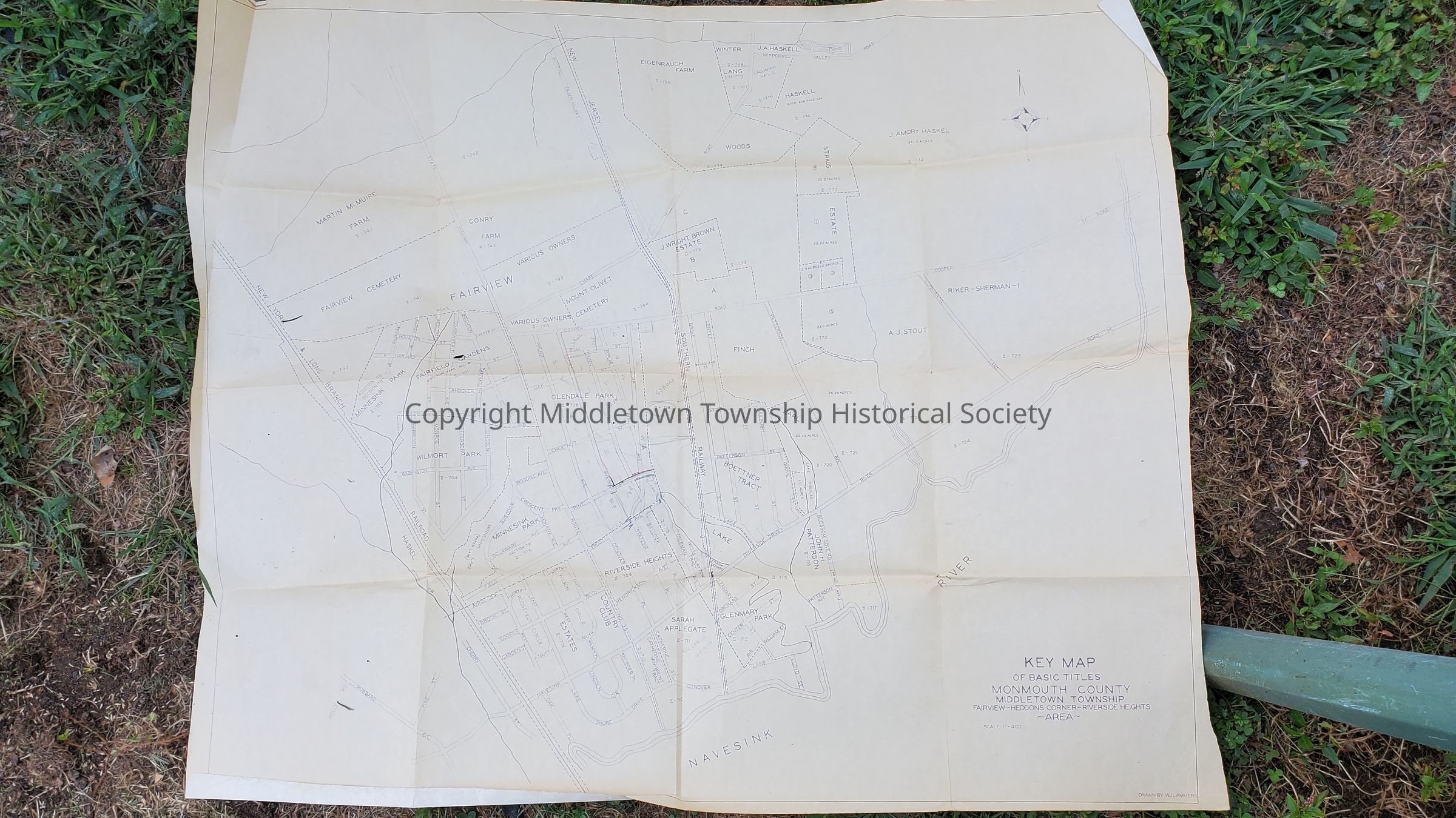
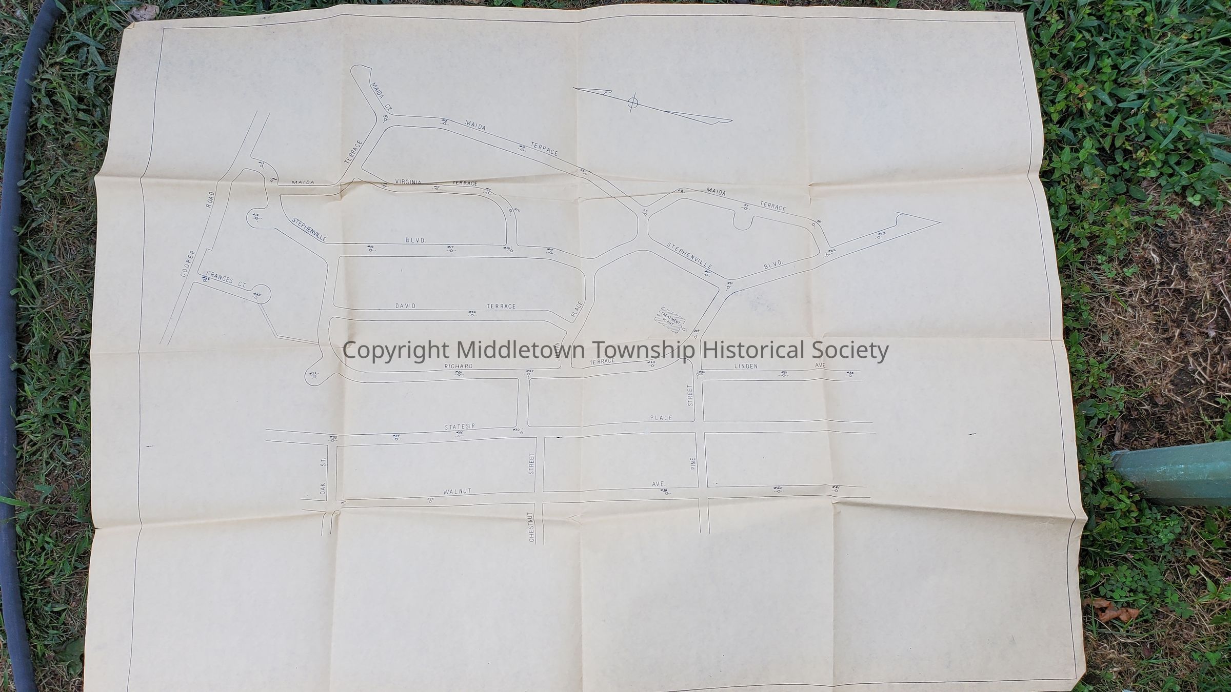
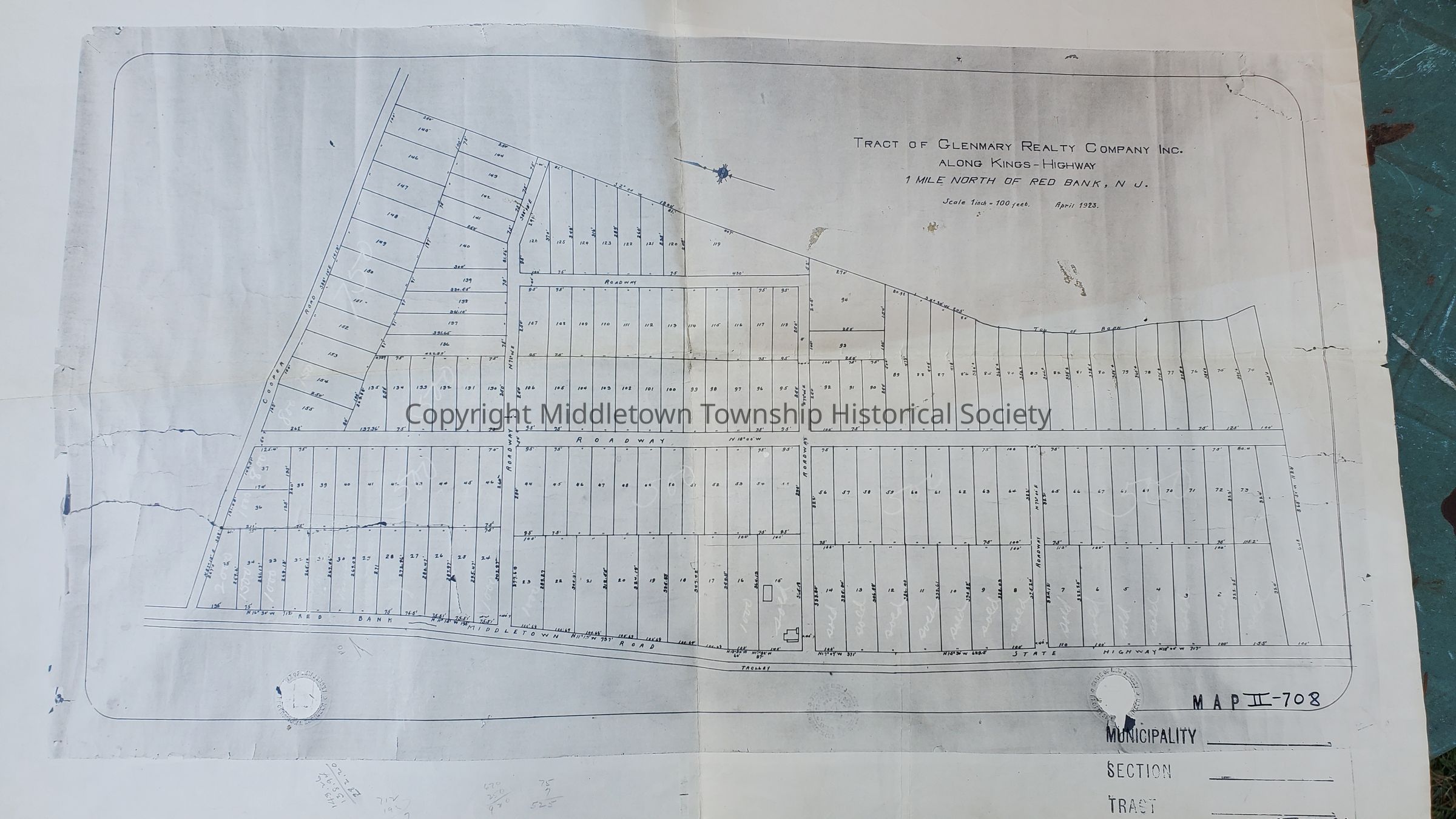
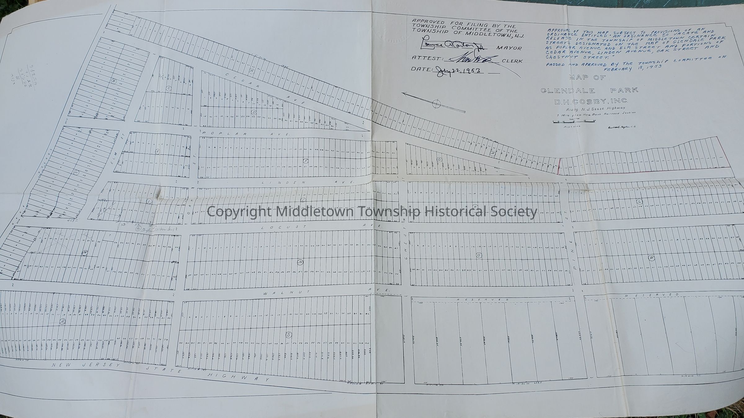
Collection of maps of the Glendal Park development, also known as Stephenville and Shorecrest. Includes onion skin map of land of W.B. Lloyd from 1921, 1923 lot map, a map of Fairview, Heddons Corner, and Riverside Heights (undated), street map showing treatment plant (undated), Glenmary Realty map from 1923, map of vacated streets from 1953. Also includes deeds.Acquisition
Acquisition Method
GiftAcquired From
Howard W. Roberts/Law Office of Roberts, Pillsbury, & Carton