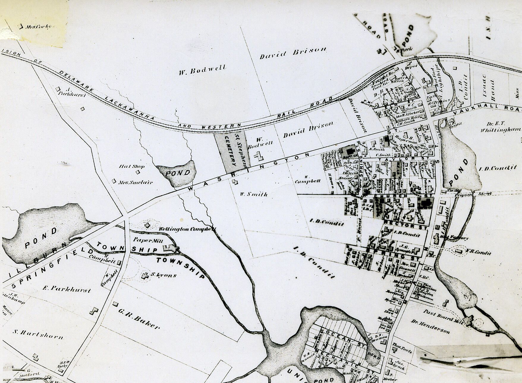
Map covering Millburn Center from North of the Railroad Tracks , South to Springfield and from Morris Turnpike on the West to near present day Holmes Street on the East.
Image Id #335
Name/Title
F.W. Beers, Atlas Millburn Area 1872
Description
Map covering Millburn Center from North of the Railroad Tracks , South to Springfield and from Morris Turnpike on the West to near present day Holmes Street on the East.
Collection
Centennial Collection
Dimensions
Dimension Description
3 1/8 x 4 3/8" photographic print, 3 1/8 x 4 3/8" negative