Name/Title
Map: Millburn and Short Hills, New Jersey, c. 1971Entry/Object ID
2023.044.002Description
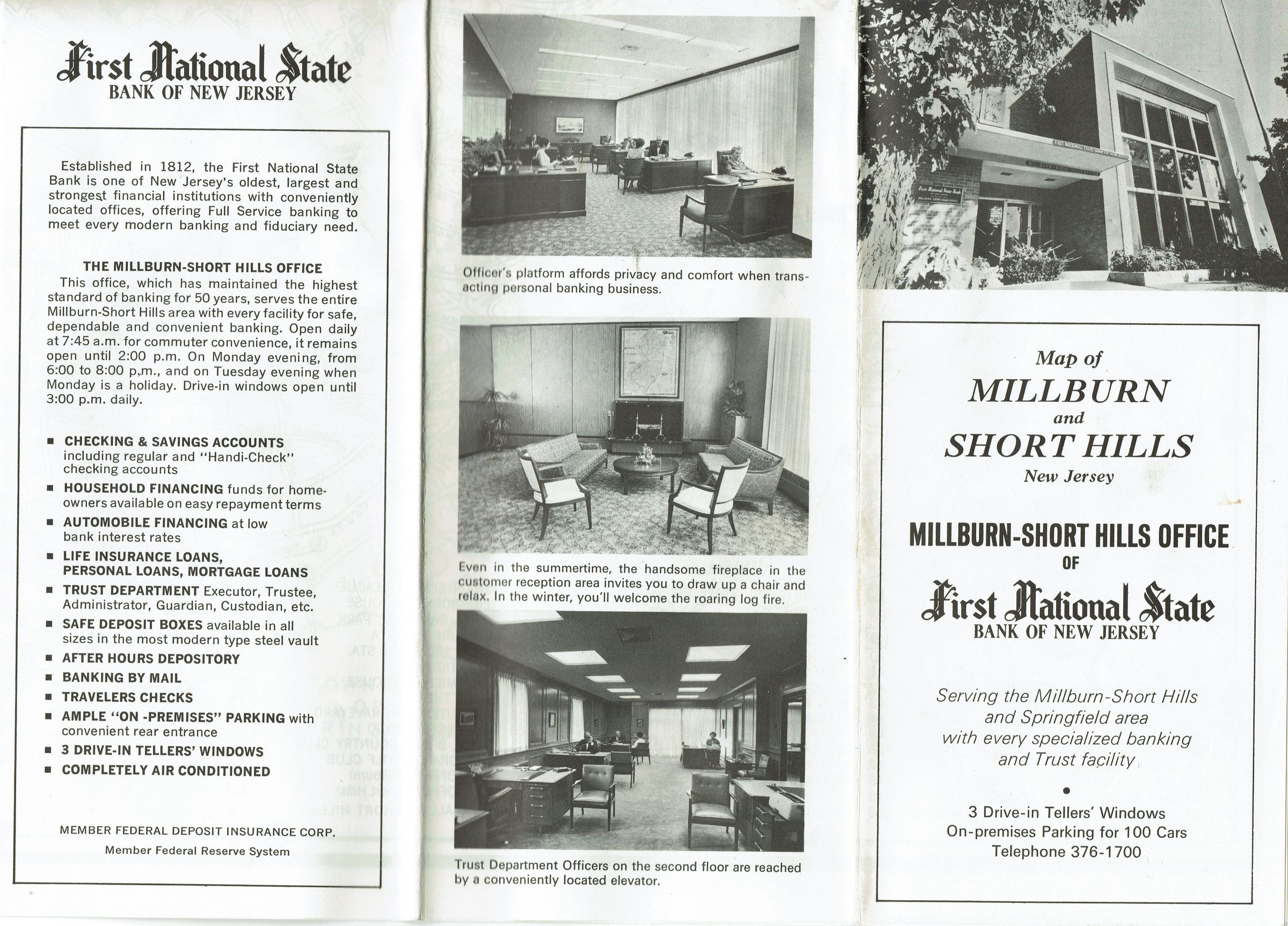
Ca. 1971 map of Millburn and Short Hills, from the Millburn-Short Hills Office of the First National State Bank of New Jersey. The map was apparently given to bank patrons and features interior photos of the bank. The date for the map was approximated from the fact that Deerfield School, which opened in 1962, appears on the map. Short Hills Country Day School is no longer listed, but Pingry is listed.Acquisition
Accession
2023.044Acquisition Method
FoundDimensions
Dimension Description
FoldedHeight
8 inWidth
3-3/4 in