Name/Title
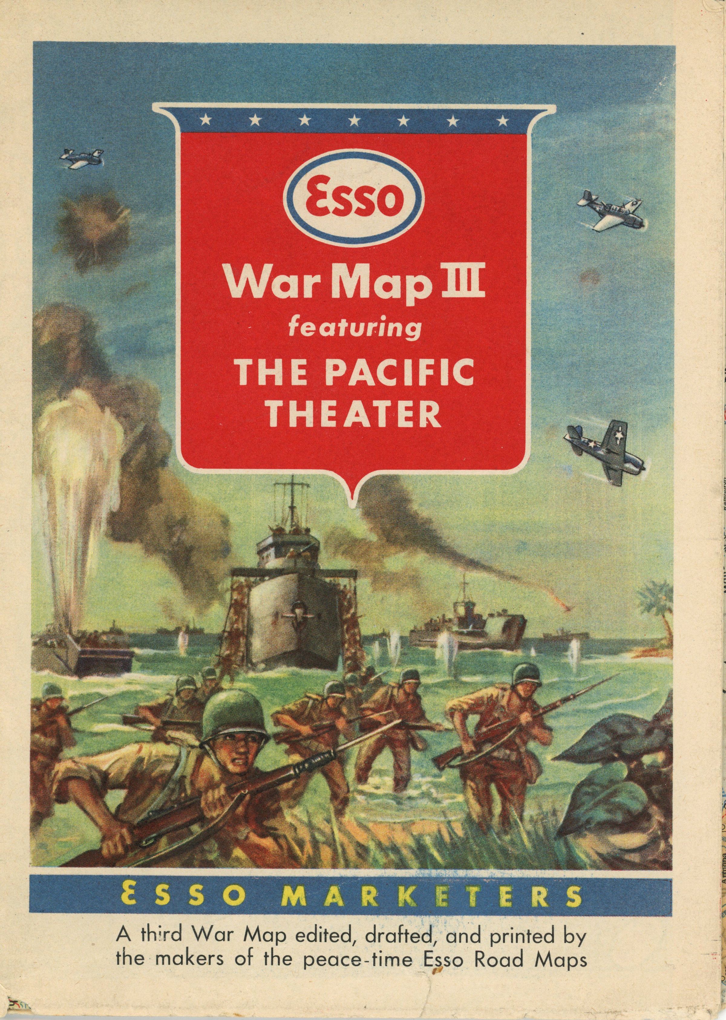
World War II: Esso War Map III Featuring the Pacific Theater, 1944Entry/Object ID
1998.042.047Description
2 maps : both sides, col.; on sheet 84 x 58 cm. folded to 19 x 14 cm. Relief by shading and spot heights. Panel title.
Maps show transportation, administrative boundaries and population centers. On recto: Esso War Map: The Pacific Theater (East-West cale on equator 1:14,500,000 - on 60° 1:7,275,000). Also shows oil pipe lines and Great Circle Airline distances. Outset: South China Coast with detailed inset of Canton-Hong Kong area ; Formosa (Taiwan) ; Vladivostok and vicinity. Includes list of variants in Chinese place names. On verso: Esso War Map: Japan and adjacent asiatic mainland (scale 1:3,900,000). Inset: Tokyo and vicinity. Outsets of 20 islands (1. Philippine Islands include 2 insets). Copyright by General Drafting Co. ltd., New York, N.Y.Acquisition
Accession
1998.042Source or Donor
Estelle Urquhart (deceased)