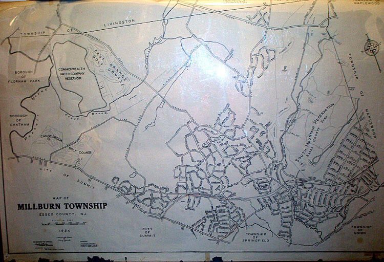
Name/Title
1934-39 Map of Millburn TownshipEntry/Object ID
1976.015.002Description
Map is prominently dated 1934, with "Corrected to July 15, 1939." There are approximately thirteen bites out of the bottom edge of this large paper map. Upper left corner was torn (5" along top edge x 3" along left edge) and retaped at some point, with two hinges of tape. Top edge has ten smaller bites along the edge. Right edge has a 5/8" piece of paper removed (as if some of the paper tore off when tape was removed) about 1/4 of the way from the top.Acquisition
Accession
1976.015Source or Donor
Unknown