Name/Title
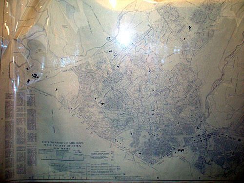
1960-1961 Planning Board Map of Millburn TownshipEntry/Object ID
1976.015.001Description
Map is dated 1960, with "Revised to December 10, 1961." There is one bite out of the bottom right edge of this large paper map. Corners have foldovers. Light spots throughout. This map was used to project population changes (bottom has school, housing, and population projections) and vacant lots.Acquisition
Accession
1976.015Source or Donor
UnknownDimensions
Height
56-1/4 inWidth
35-1/2 in