Name/Title
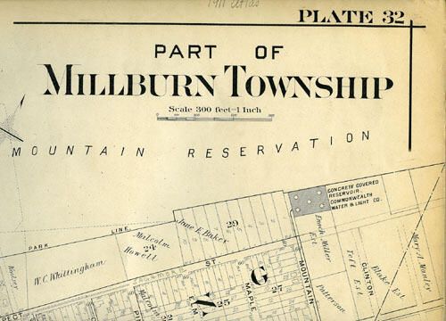
Map: Mueller Map of Wyoming Section of Millburn Township, 1906Entry/Object ID
2008.008.001Description
Black and white atlas map of "Part of Millburn Township." This map is plate 32 and covers downtown Millburn and the Wyoming sections. Donor wrote in pencil on top right: "1911 Atlas," but this map is from the 1906 atlas and may viewed on link through NYPL>Acquisition
Accession
2008.008Source or Donor
Lynne Ranieri