Name/Title
Social Base Map of Millburn Township, 1933Entry/Object ID
2022.211.003Description
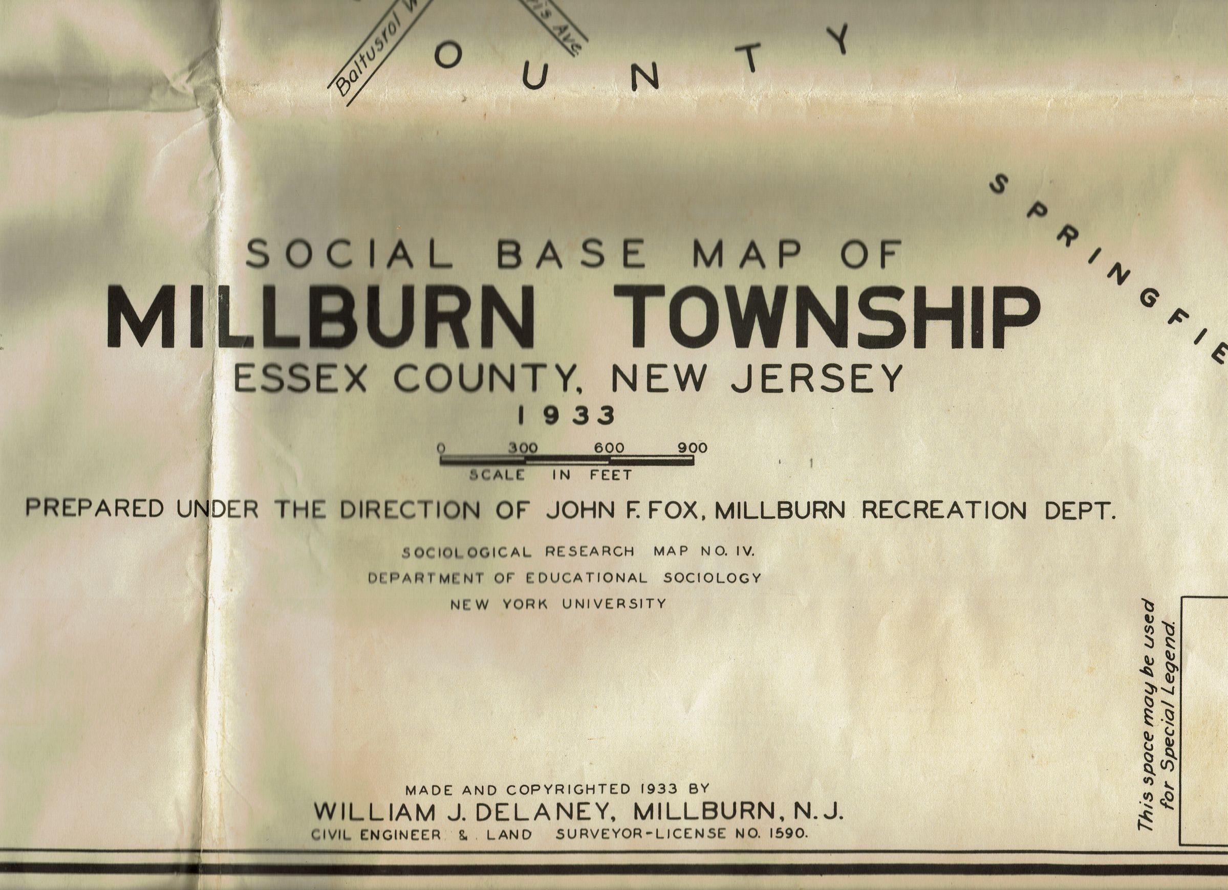
Social Base Map of Millburn Township, Essex County, NJ, Prepared under the direction of John F. Fox, Millburn Recreation Department. Made and copyrighted 1933 by William J. Delaney, Millburn, NJ, Civil Engineer and Land Surveyor. Map distinguishes types of dwellings, ethnicities, public works, municipal and commercial buildings.
The description of the map is as follows: This map and its uses. This is a sociological base and research map. It may be used to obtain graphic correlation by: 1. Showing comparative distribution of institutions in relation to their backgrounds by coloring types of symbols appearing on the map, 2. Superimposing by use of colored spots or shading additional data not now indicated, 3. Comparing above data with such backgrounds as race, nationality , housing, density of population, transportation, and commercial and industrial properties, which appear on the map.Acquisition
Accession
2022.211Acquisition Method
Items left outside the Parsil House