Name/Title
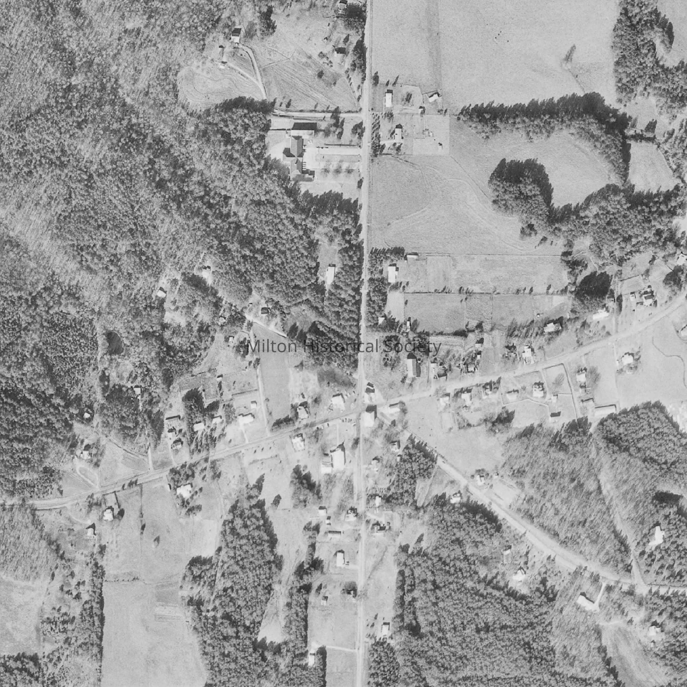
1968 Aerial View of CrabapppleEntry/Object ID
2022.3.2Description
Black and white digital photo of the Crabapple road intersections from 1968.Context
Compared to the prior photo from 1938, there is a slight increase of building along Mayfield and Crabapple Roads (East / West) and a small pocket North. There is less farmed land and more trees in the photo, especially in the northwest and southeast quandrants. The Crabapple Baptist Church at the corner of Broadwell and Crabapple was remodeled in 1964. The right to use/view only via the Society site has been granted by Historical Aerial Photos / NETRonline.comCollection
Kathy and Philip BeckAcquisition
Accession
2022.3Source or Donor
Kathy BeckAcquisition Method
Digital Donation