Name/Title
Montauk Beach Development Corporation Topographical Map Sheet No. 17, Montauk, NYEntry/Object ID
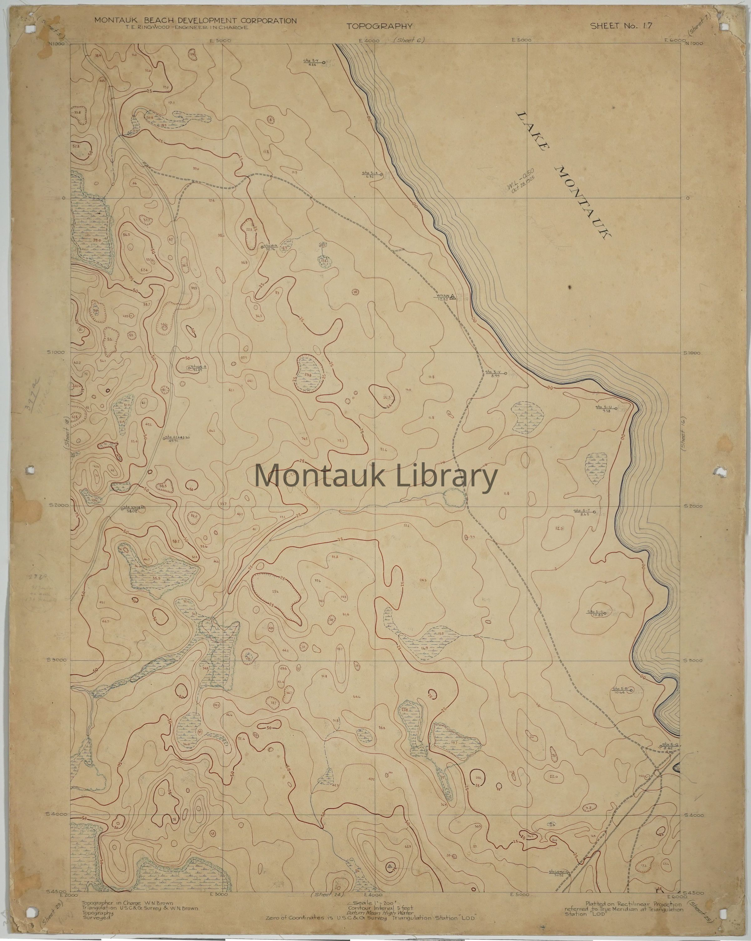
ARC.0168Description
Original hand-drawn topographical map showing the west side of Lake Montauk.
T.E. Ringwood Engineer in charge.
Topographer in charge W. N. Brown.
Platted on rectilinear projection referred to true meridian at triangulation station “LOD”
Sheet No. 17Map Details
Maker or Creator
T. E. RingwoodScale
1”=200’Date Published
circa 1926Medium
Ink and graphite on boardPublication Language
EnglishDimensions
Dimension Description
4Height
30 inWidth
2 inAcquisition
Acquisition Method
GiftAcquired From
William Walsh