Name/Title
Map of Land Under Water in Lake Montauk and Upland Bordering the Lake, n.d.Entry/Object ID
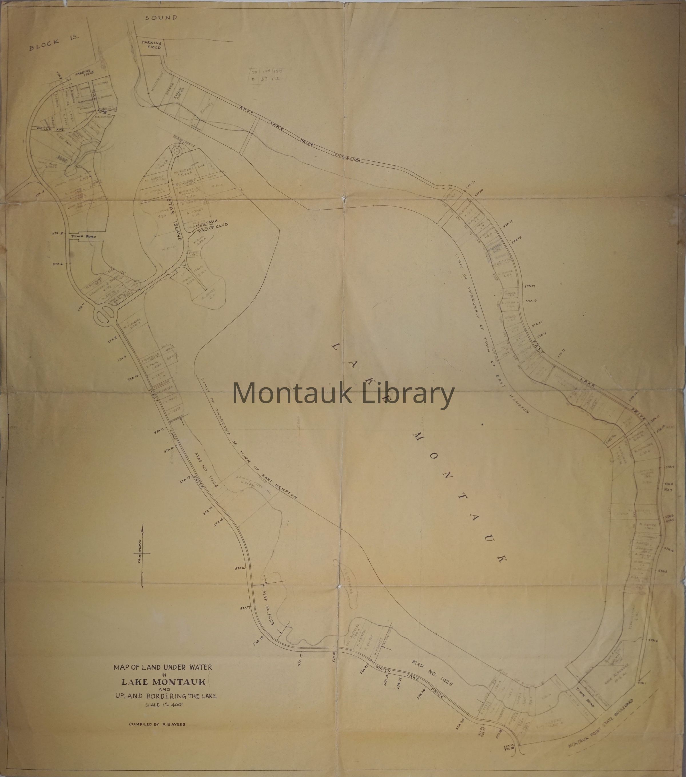
ARC.2477Description
Map of land under water in Lake Montauk and upland bordering the lake, compiled by R. B. Webb.Map Details
Maker or Creator
R. B. WebbScale
1'=400"Dimensions
Height
31 inWidth
27-1/2 in