HUB
Collections
Classifications
About
App
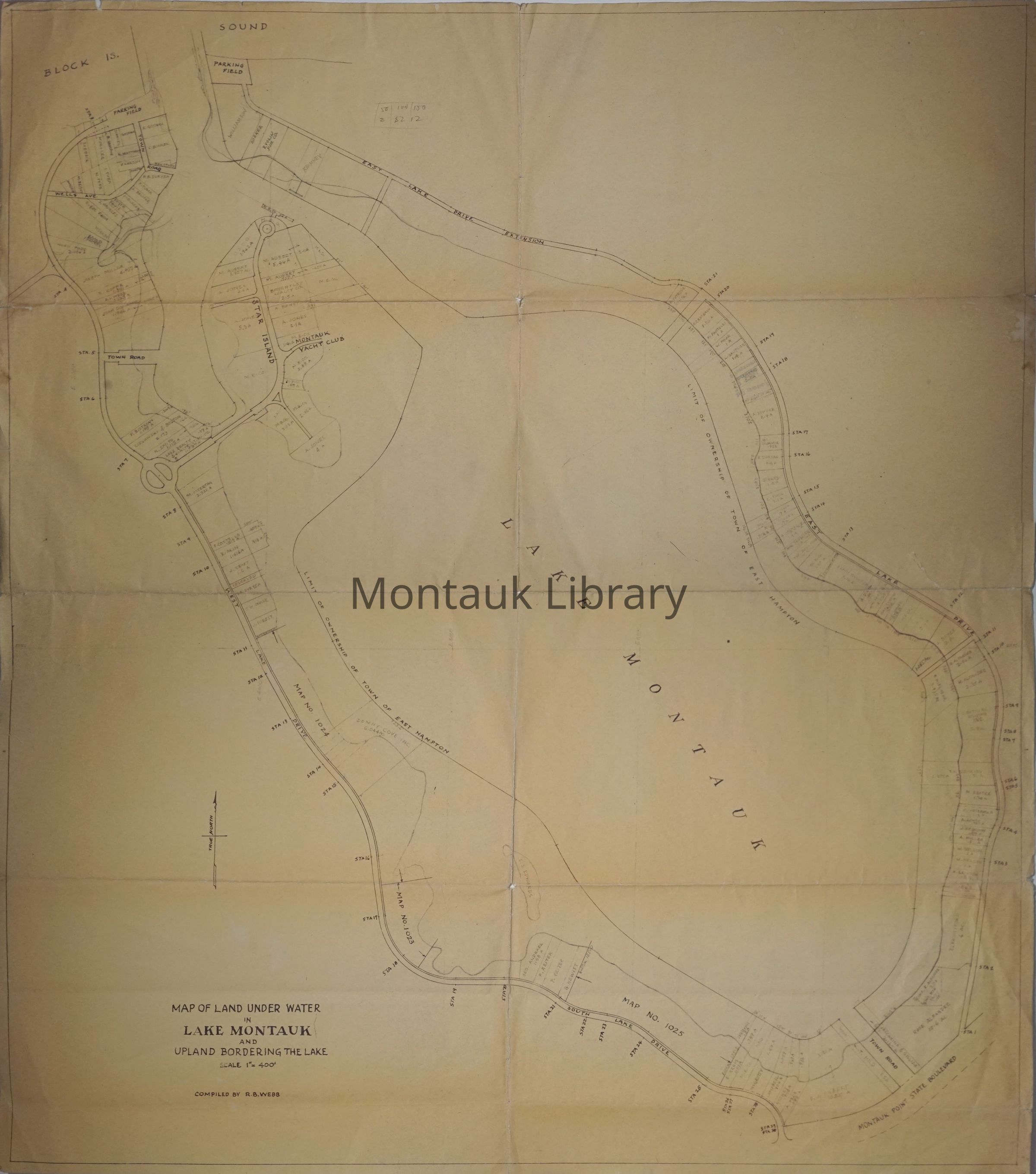
Map of Land Under Water in Lake Montauk and Upland Bordering the Lake, n.d.
Map
•
Object ID: ARC.2477
•
Montauk Library Archives
Overview
Description
Map of land under water in Lake Montauk and upland bordering the lake, compiled by R. B. Webb.
Map Details
Maker or Creator
R. B. Webb
Scale
1'=400"
Dimensions
Height
31 in
Width
27-1/2 in
Acquisition
Acquisition Method
Found