Name/Title
Map of Southern Coast of Long Island from Montauk to East Hampton, 1877Entry/Object ID
ARC.2752Description
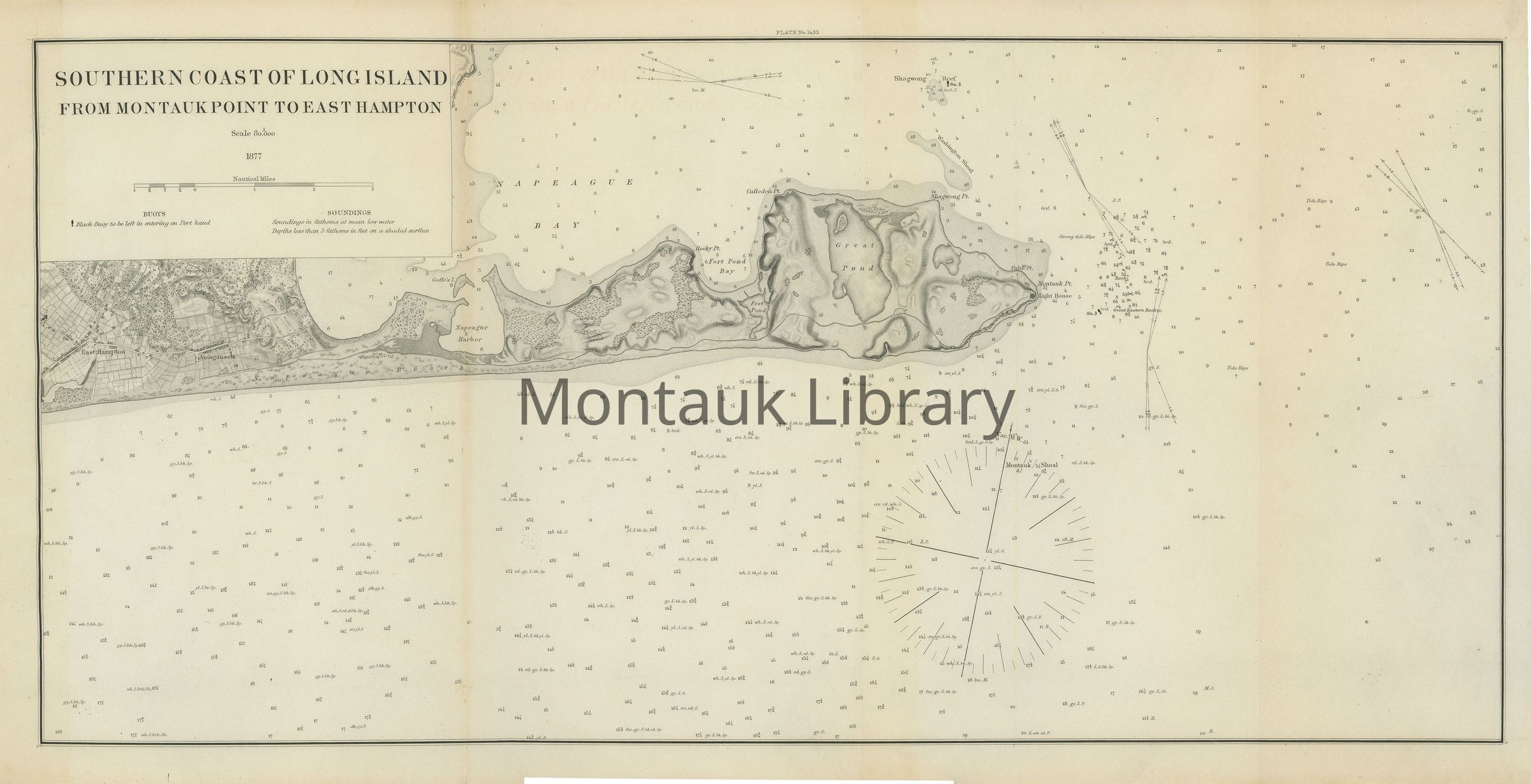
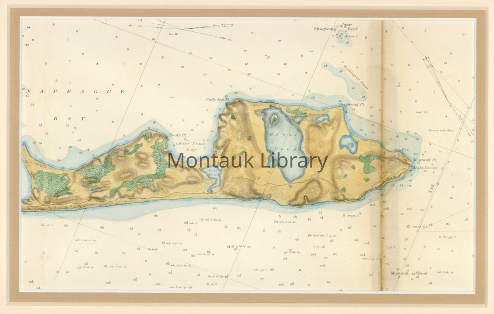
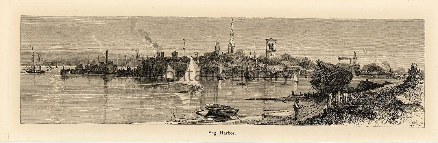
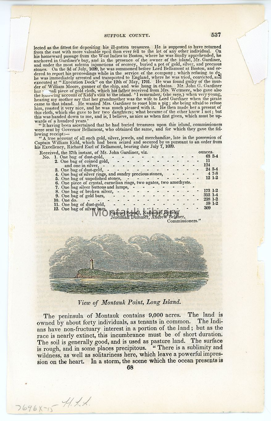
A small collection of 2 maps and 2 illustrations. The 1877 map depicts the southern coast of Long Island from Montauk Point to East Hampton, published by the U.S. Coast and Geodetic Survey. A second hand-colored map depicts the same scene, but the same location but has been cropped to fit the frame. Two illustrations, from unknown sources, depict the Montauk Point lighthouse and Sag Harbor.Map Details
Maker or Creator
U.S. Coast SurveyArea or Region
* Untyped Area or Region
Montauk, New YorkDate Published
1877Publication Language
EnglishDimensions
Dimension Description
1877 Map dimensions.Height
11-1/2 inWidth
24 inAcquisition
Acquisition Method
GiftAcquired From
Leslie Johanna PfundCopyright
Type of License
NoneCopyright Details
Researchers assume all responsibility for copyright questions. Fair use is permitted. For all other uses please contact archives@montauklibrary.org.Restrictions
The collection is open for research and can be used within the library under the supervision of the archivist. Contact archives@montauklibrary.org to schedule a research appointment.