Name/Title
Map of Washington County, H.F. Walling, 1858.Entry/Object ID
1111.25.12Description
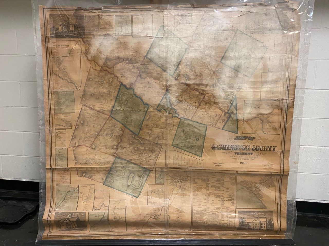
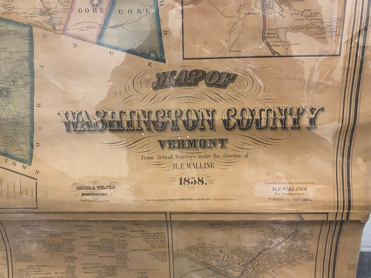
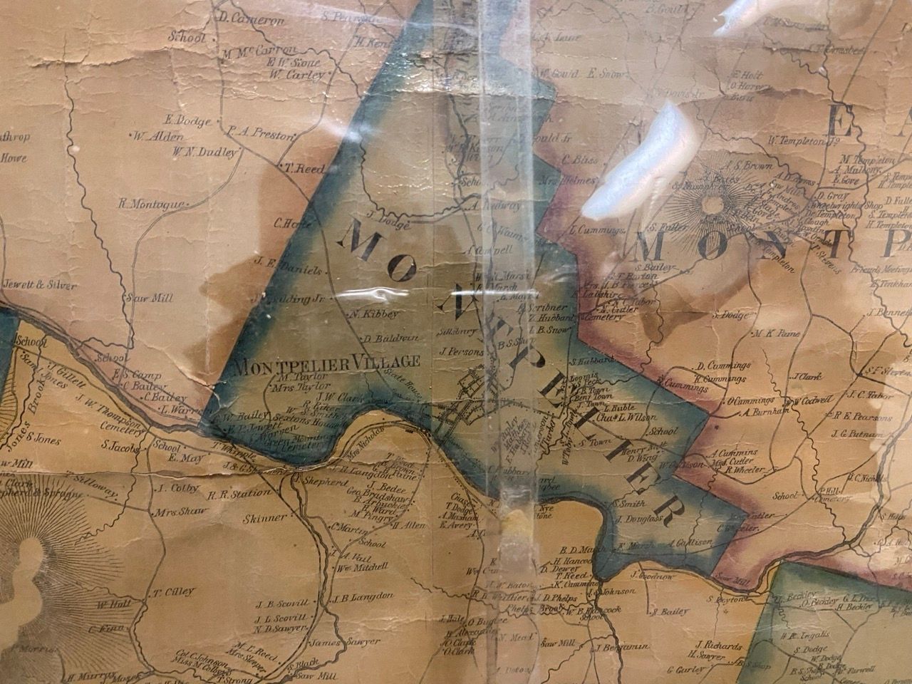
4 views in corners, 26 village plans, table of distances, business directory and statistics. Shows buildings and householders' names, sawmill, gristmill, marble quarry. Includes enlargement of Village of MontpelierLexicon
Nomenclature 4.0
Nomenclature Secondary Object Term
MapNomenclature Primary Object Term
CartographNomenclature Sub-Class
Graphic DocumentsNomenclature Class
Documentary ObjectsNomenclature Category
Category 08: Communication ObjectsSearch Terms
Cities and towns--Vermont--Washington County--Maps.Map Details
Maker or Creator
Walling, Henry Francis.Area or Region
County
Washington County (Vt.)* Untyped Area or Region
VermontPublisher
Baker & TildenPlace Published
* Untyped Place Published
New York (N.Y.)Date Published
1858Map Notes
Hand-colored. Encapsulated. Damaged in 2023 flood.