Name/Title
1965 Statistical and Street Map-Guide of the City of Benicia CaliforniaEntry/Object ID
2009.003.0013Scope and Content
B/W folded brochure w/map
1965 Statistical and Street Map Guide of the City of Benicia
"The City of Industrial Opportunity"
includes photographs and information about Benicia and Vicinity
Published by Benicia Chamber of Commerce
folded size: 3-5/8" x 8-1/2" open size: 11" x 17"
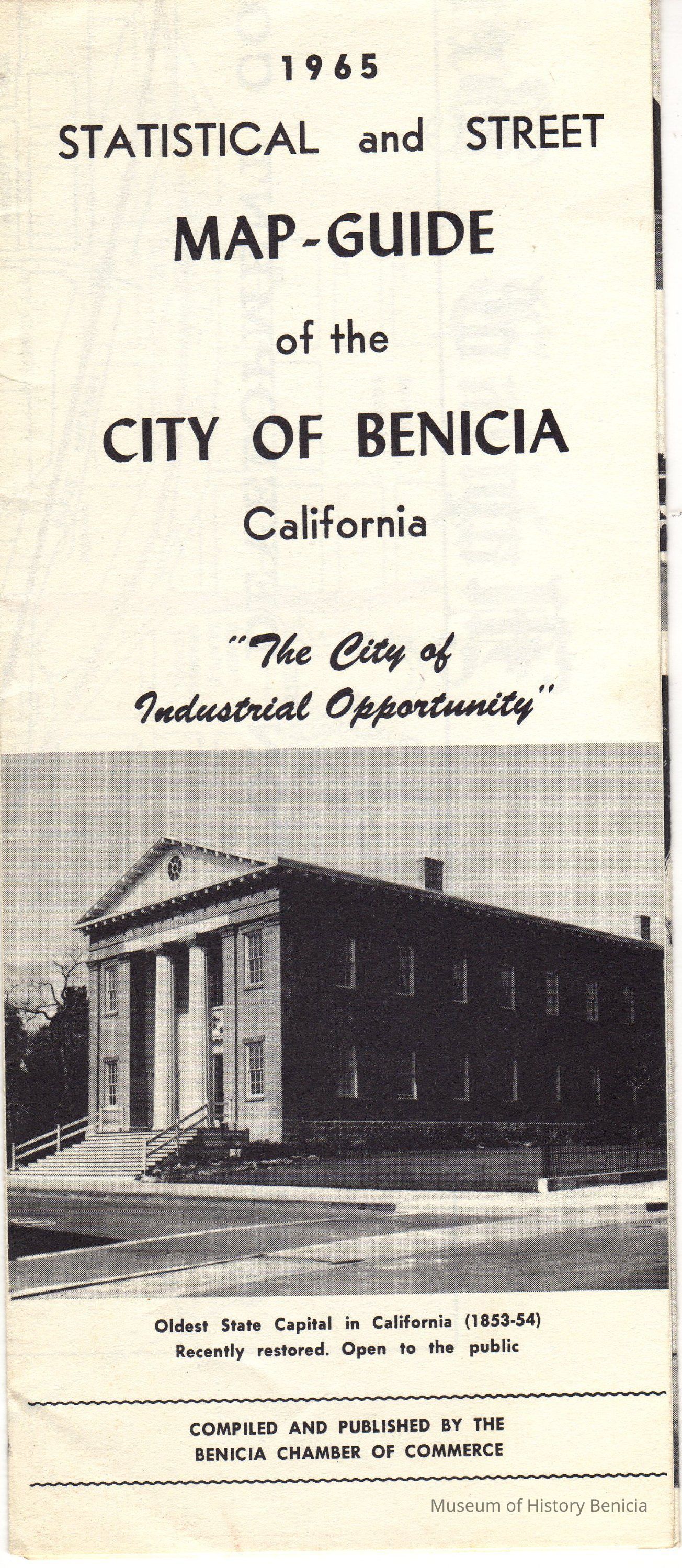
Photographs: on front: State Capital Building
Inside: Activity at deep water dock in Industrial Park
St. Paul's Episcopal Church
Benicia City Hall & Justic Court
The new modern St. Dominic's School
Oldest Masonic Temple in use in California
Map covers complete sheet when opened all the way; the map does not include the industrial park areaCollection
Benicia Historical Museum Collection