Name/Title
Chart, NavigationalEntry/Object ID
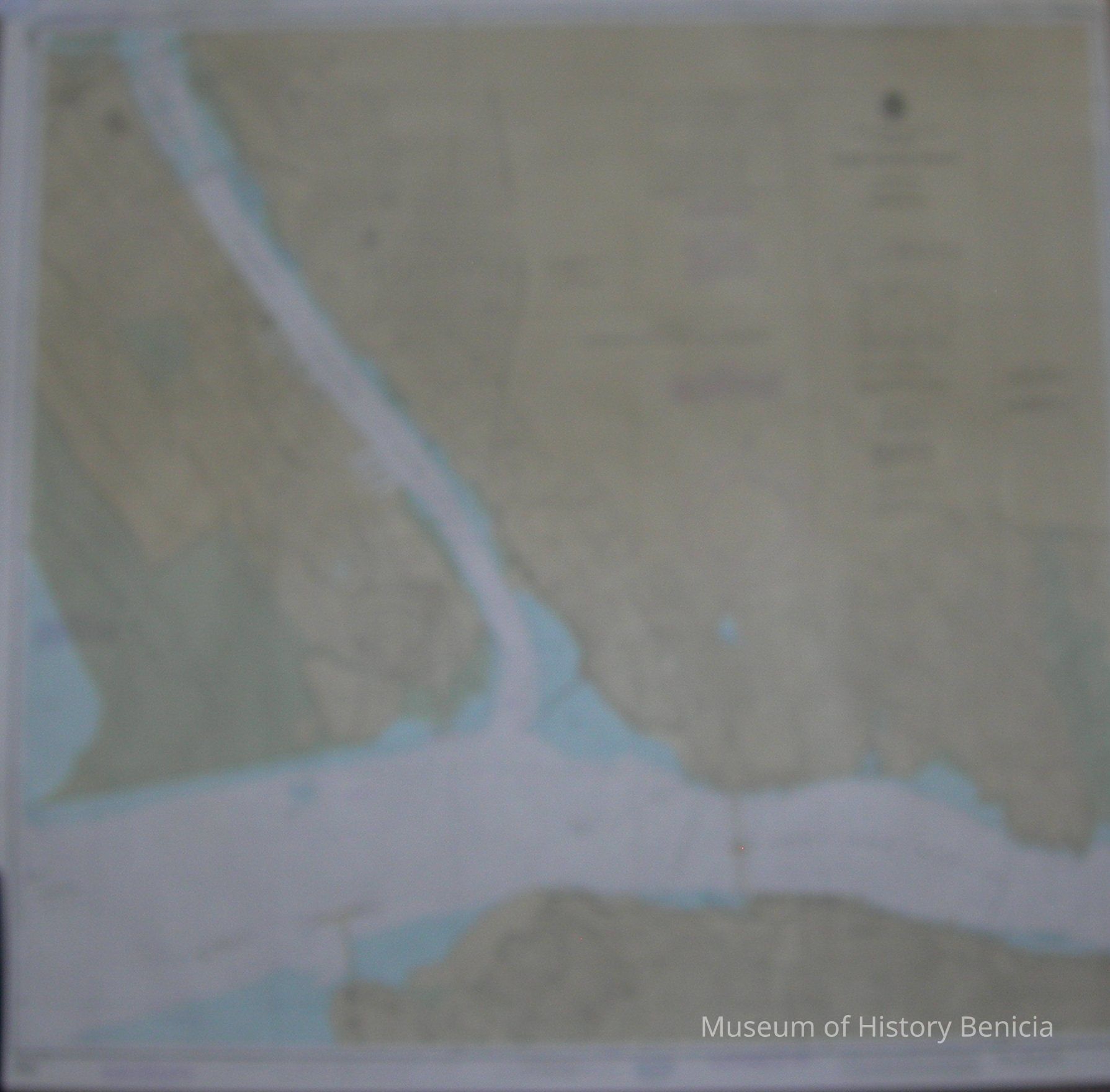
2014.021.0001Scope and Content
Chart of Mare Island Strait
National Oceanic and Atmospheric Administration
Mercator Projection Scale 1:10,000 at Lat. 38 degrees 05 feet
Soundings in feet
52nd Edition July 14, 1984 #18655
Published at Washington D.C. - U.S. Department of Commerce
NOAA National Ocean Service
colors: white/blue/green/tan w/black and violet letters and numbers
size: 36" x 38"
stamped at bottom: Vallejo Marine / 2430 Sonoma Blvd. / Vallejo CA 94590 / (707) 643-7179Collection
Benicia Historical Museum Collection