Name/Title
IndentureEntry/Object ID
2019.025.0006Scope and Content
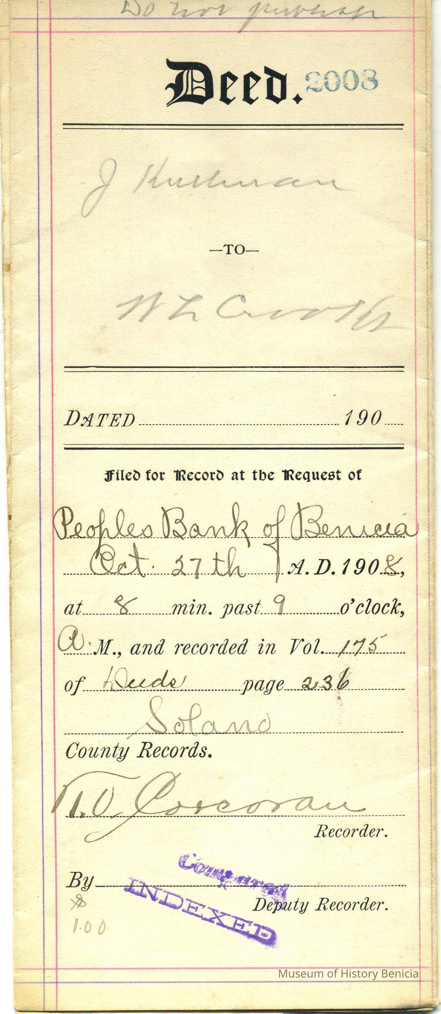
Indenture (also Deed) between Jacob Kullman of Solano County and W.L. Crooks of same place
Recorded at the request of Peoples Bank of Benicia on October 27, 1908 at 9:08 am in Volume 175 of Deeds page 236 Solano County Records #2008
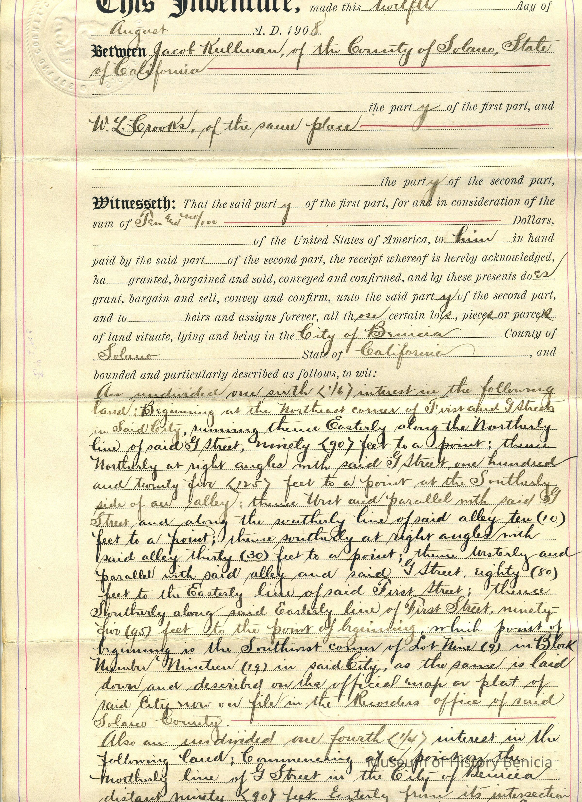
W.L. Crooks paid to J. Kullman the sum of $10.00 for
"An undivided one sixth (1/6) interest in the following land: Beginning at the Northeast corner of First and G Streets in Said City, running thence Easterly along the Northerly line of said G Street, ninety (90) feet to a point; thence Northerly at right angles with said G Street, one hundred and twenty five (125) feet to a point at the Southerly side of an alley; thence West and parallel with said G Sreet and along the southerly line of said alley ten (10) feet to a point; thence southerly at right angles with said alley thirty (30) feet to a point; thence westerly and parallel with said alley and said G Street, eighty (80) feet to the Easterly line of said First Street; thence Southerly along said Easterly line of First Street ninety five (95) feet to the point of beginning, which point of beginning is the Southwest corner of Lot Nine (9) in Block number Nineteen (19) in said City, as the same is laid down and described on the official map or plat of said City now on file in the Recorders office of said Solano County,
Also an undivided one fouth (1/4) interest in the following land: Commencing at a point by the Northerly line of G Street in the City of Benicia distant ninety (90) feet Easterly from its intersection with the Easterly line of First Street and running Easterly along said line of G Street sixty (60) feet to the Easterly line of Lot number Nine (9) in Block Number Nineteen (19) thence northerly and parallel to First Street ione hundred and twenty-five (125) feet to an alley thence westerly along the line of said alley sixty (60) feet thence Southerly and parallel with First Street one hundred and twenty-five (125) to the place of beginning, said parcel of land being the East two-fifths (E. 2/5) of lot Number Nine (9) in Block Number Nineteen (19) as laid down in the official map of the City of Benicia on file in the Recorders Office of the County of Solano. Also the west one third (W. 1/3) of Lot Number Ten (10) in Block Number Nineteen (19) so laid down on the official map of the City of Benicia on file in the Recorders Office of the County of Solano.
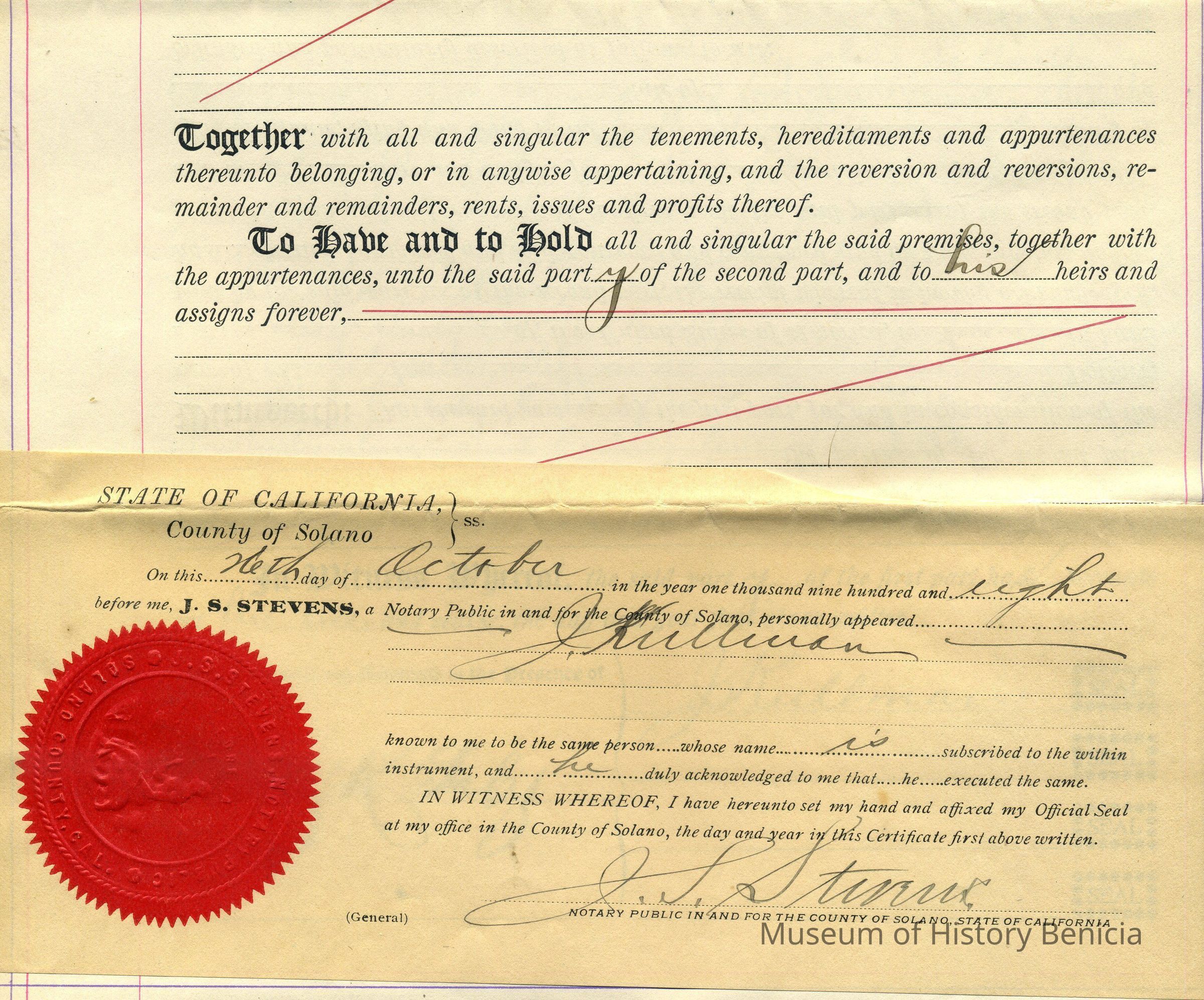
Notarized October 26, 1908 by J. S. Stevens, in Solano County impressed with red seal.
two pages, back to back - 8-1/2" x 14"
it is a hand written in black ink legal formCollection
Benicia Historical Museum Collection