Name/Title
LithographEntry/Object ID
2018.006.0029Description
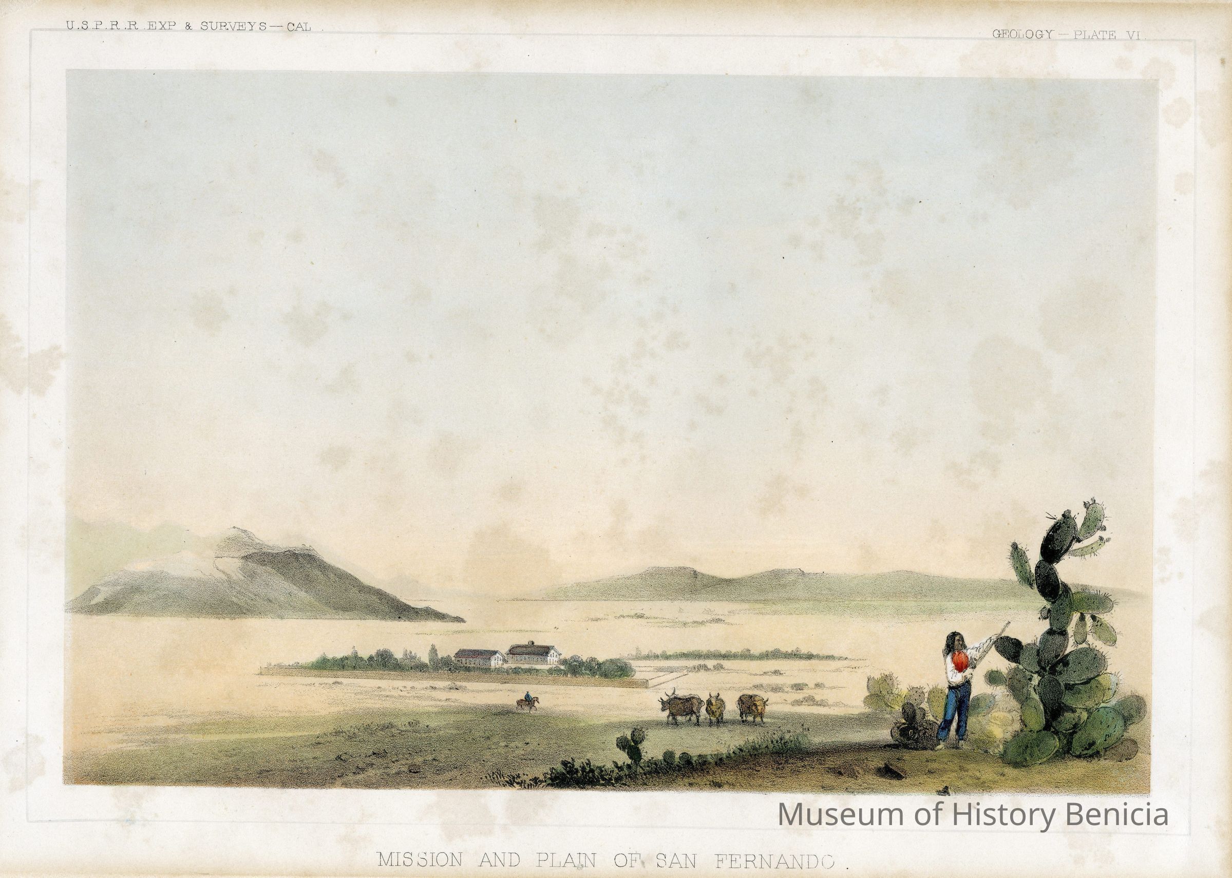
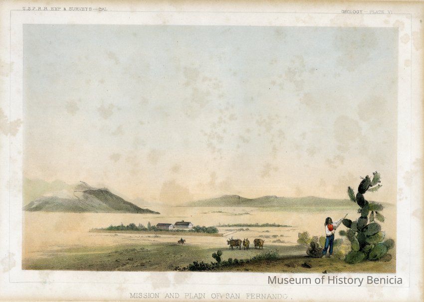
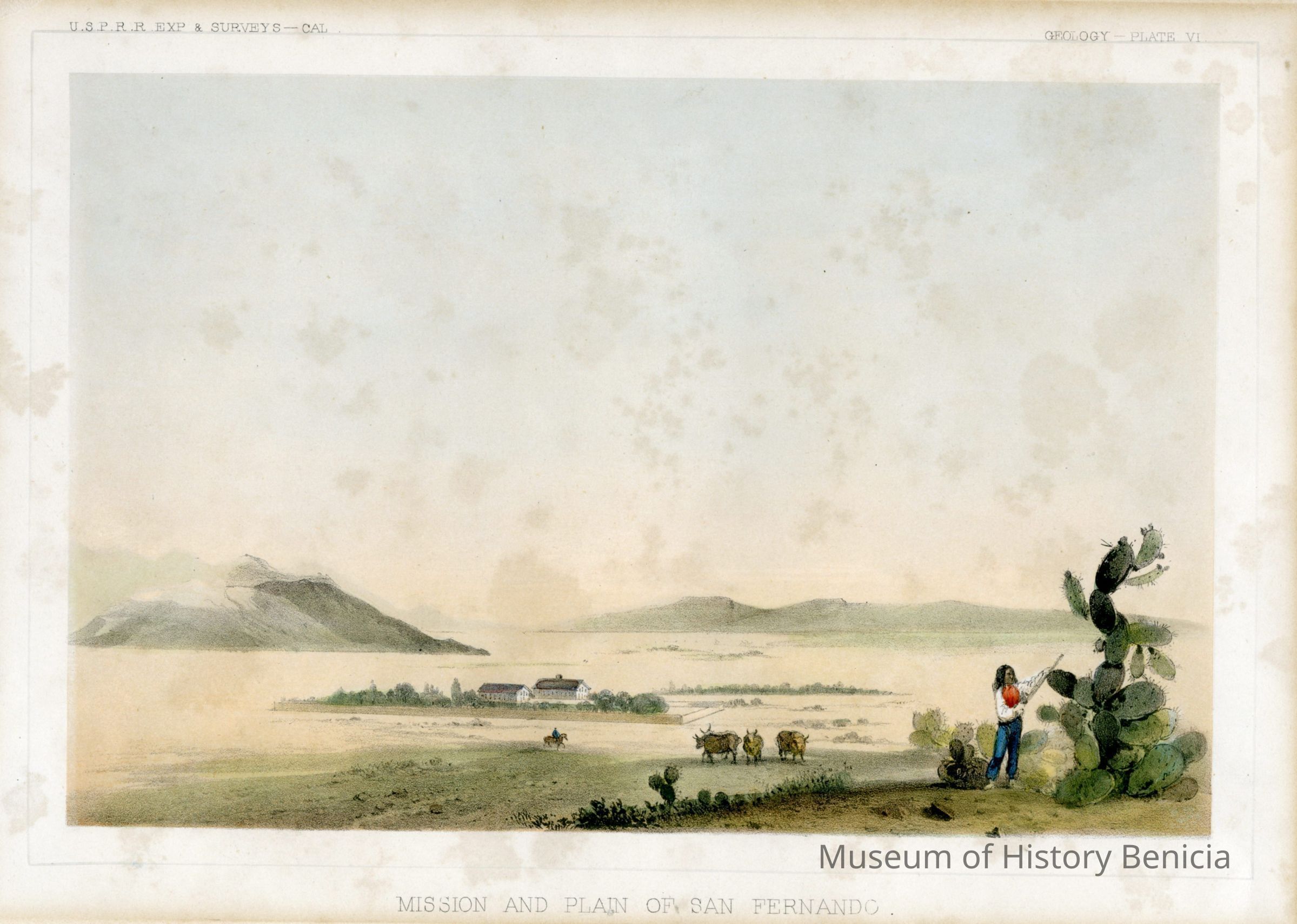
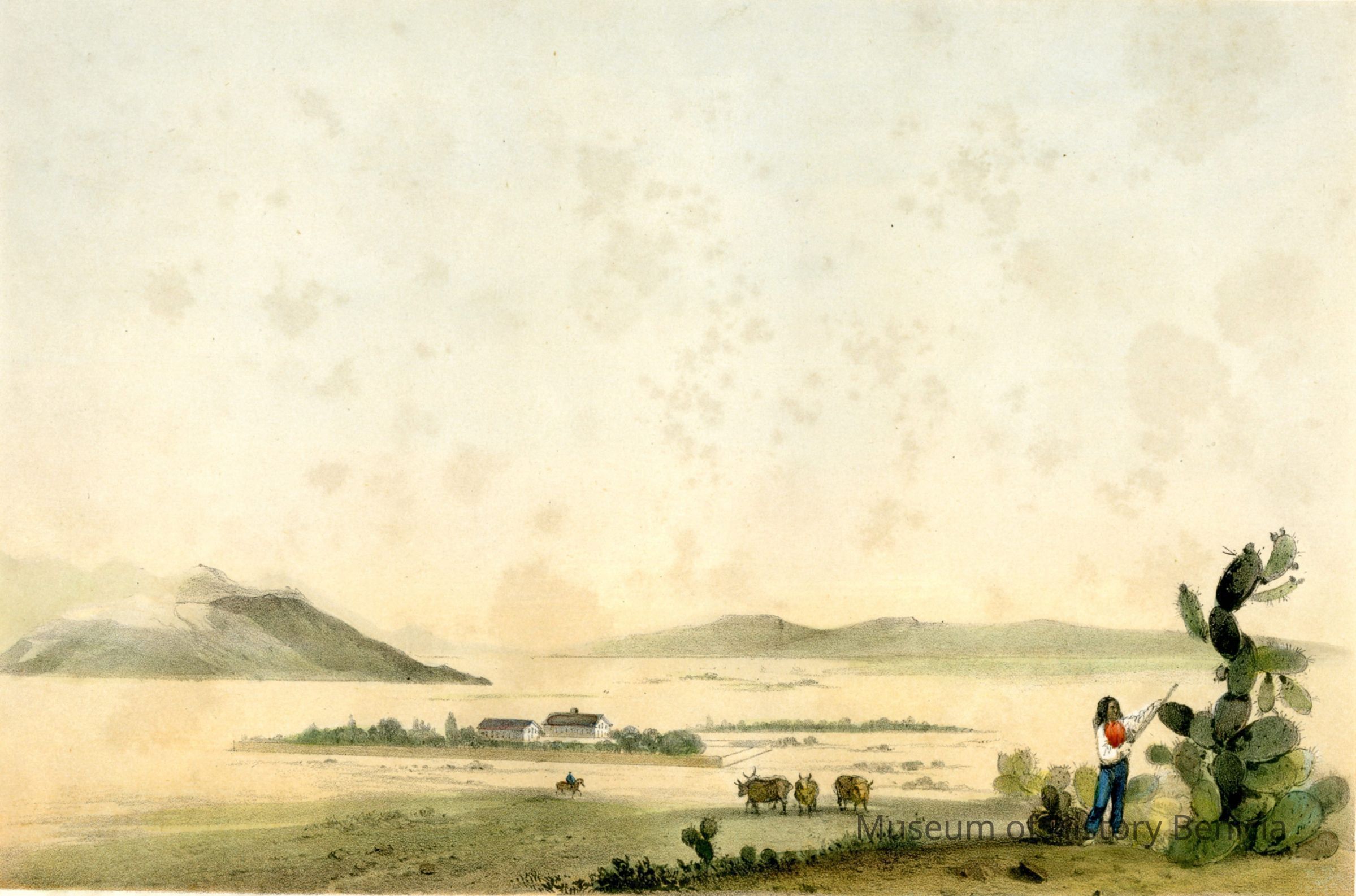
Lithograph of the "Mission and Plain of San Fernando". It was made during the U.S. Pacific Railroad Expedition and Survey. This is plate vi. There were two versions of the lithograph and this one is the one in multiple colors.
During the 1850s, the U.S. government sponsored an extensive series of expeditions designed to gather information on the vast new territories that had been acquired in western North America. The discovery of gold in California further stimulated westward traffic and heightened the need for a faster and more convenient way to bring the far-flung parts of the country together. In 1853 Congress commissioned the Army's Topographic Bureau to conduct a series of surveys to find a suitable route for a transcontinental railroad. There were six major expeditions; five of them covered the area between the Great Plains and west coast, and the sixth explored the coastal states of California and Oregon. All of these expeditions were accompanied by naturalists and artists to document the landscape, flora and fauna along the route. The reports, maps and lithographs were published in the 13 volume report "Explorations and Surveys to ascertain the most practicable and economical route for a Railroad from the Mississippi river to the Pacific Ocean."
Published by the United States War Department from 1855 to 1860.
Five surveys were conducted.
" The Northern Pacific survey followed between the 47th parallel north and 49th parallel north from St. Paul, Minnesota to the Puget Sound and was led by the newly appointed governor of the Washington Territory, Isaac Stevens. Accompanying Stevens were Captain George B. McClellan with Lt. Sylvester Mowry out of the Columbia Barracks from the west and Lt. Rufus Saxton with Lt. Richard Arnold out of St. Marysville from the east.
" The Central Pacific survey followed between the 37th parallel north and 39th parallel north from St. Louis, Missouri to San Francisco, California. This survey was led by Lt. John W. Gunnison until his death by the Utes in Utah. Lt. Edward Griffin Beckwith then took command. Also participating in this survey was Frederick W. von Egloffstein, George Stoneman and Lt. Gouverneur K. Warren.
" There were two Southern Pacific surveys. One along the 35th parallel north from Oklahoma to Los Angeles, California, a route similar to the western part of the later Santa Fe Railroad and to Interstate 40, which was led by Lt. Amiel W. Whipple. The southernmost survey went across Texas to San Diego, California, a route which followed the Butterfield Overland Mail stagecoach trail where Southern Pacific RR completed the second transcontinental railway in 1881. This survey was led by Lt. John Parke and John Pope .
" The fifth survey was along the Pacific coast from San Diego to Seattle, Washington conducted by Lt. Robert S. Williamson and Parke.Collection
Benicia Historical Museum Collection