Name/Title
MapEntry/Object ID
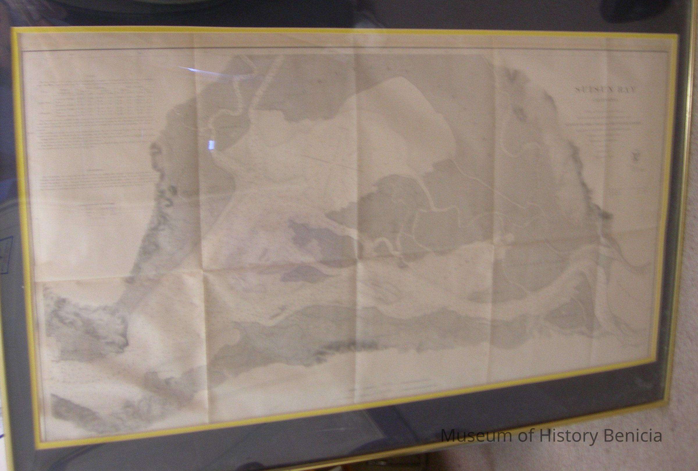
2019.019.0001Scope and Content
Map - Suisun Bay, California from a Trigonometrical Survey
under the direction of A.D. Bache, Superintendent of the
Survey of the Coast of the United States
Triangulation by J.S. Lawson and W. E. Greenwell, Assistants
Topography by A. F. Rodgers, Assistant
Hydrography by F. Cordell, Asst.
Scale 1/ 40,000
Pubkusged ub 1872
Benjamin Pearce, Supdt.
Coast Survey Office Price 75 cents
includes a tide table and information about Soundings
in a gold frame under glass;
brown ink on ecru background
frame 24" x 36" matted size 18" x 33"Collection
Benicia Historical Museum Collection