Name/Title
MapEntry/Object ID
2007.041.0094Scope and Content
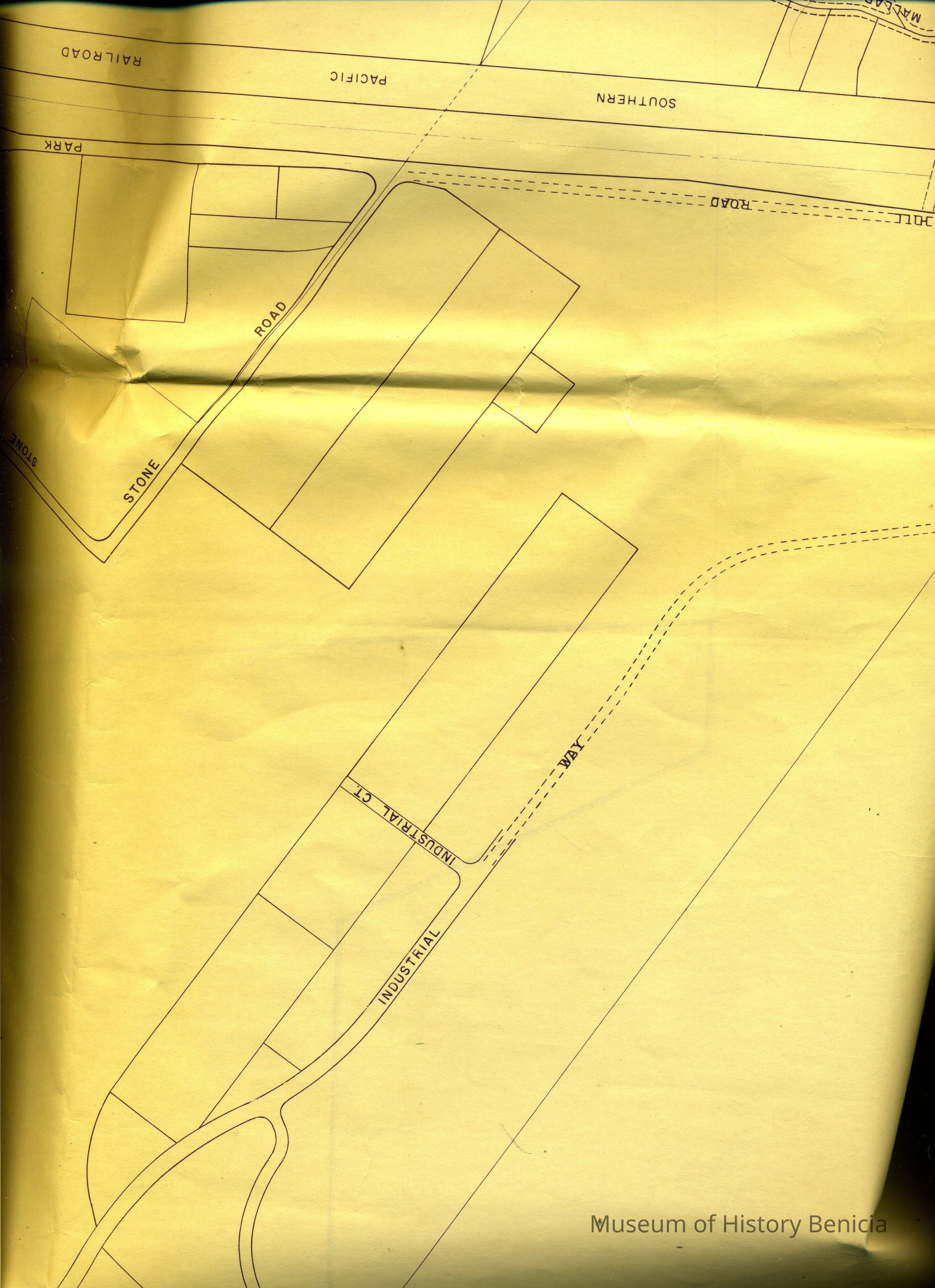
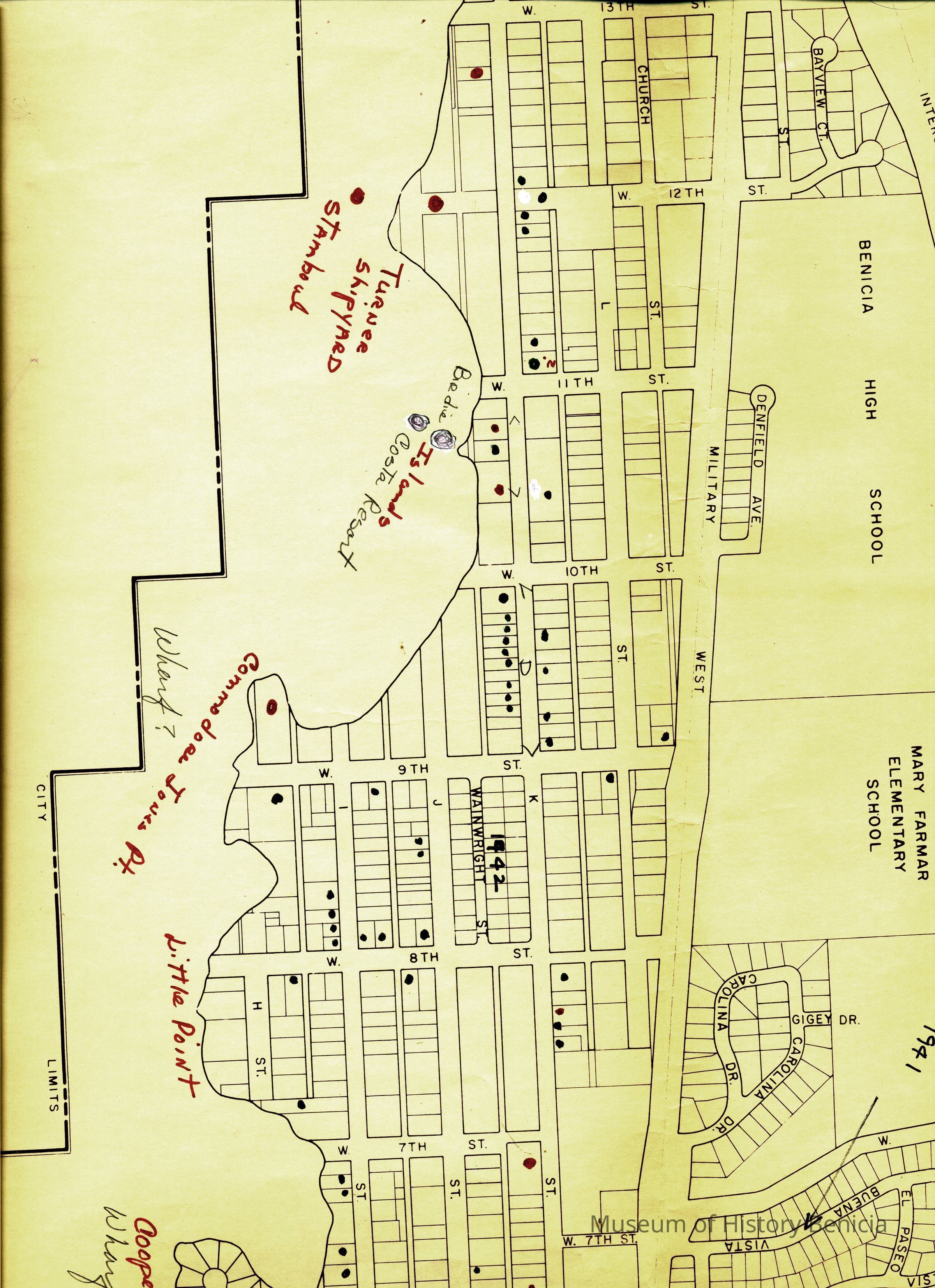
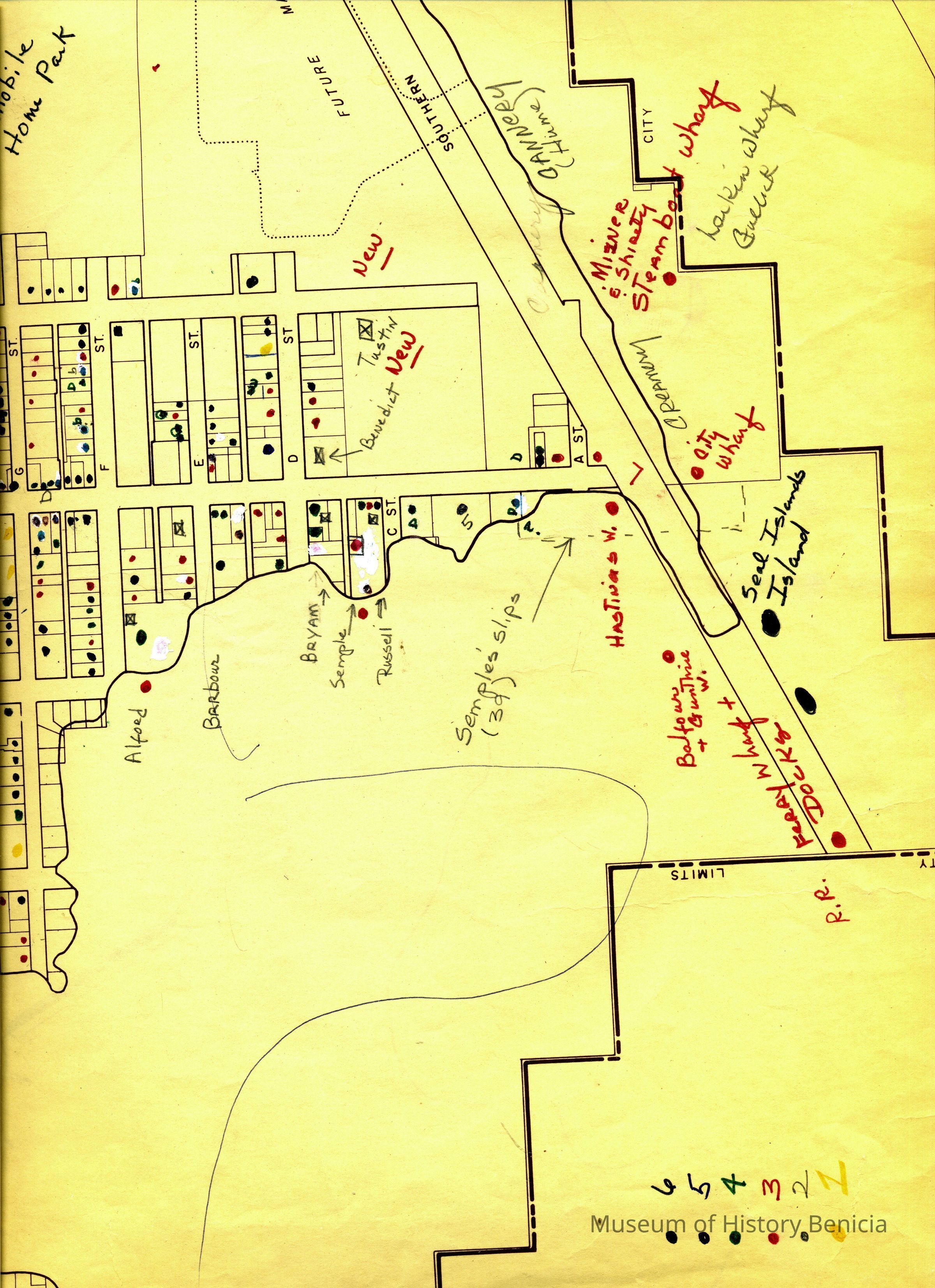
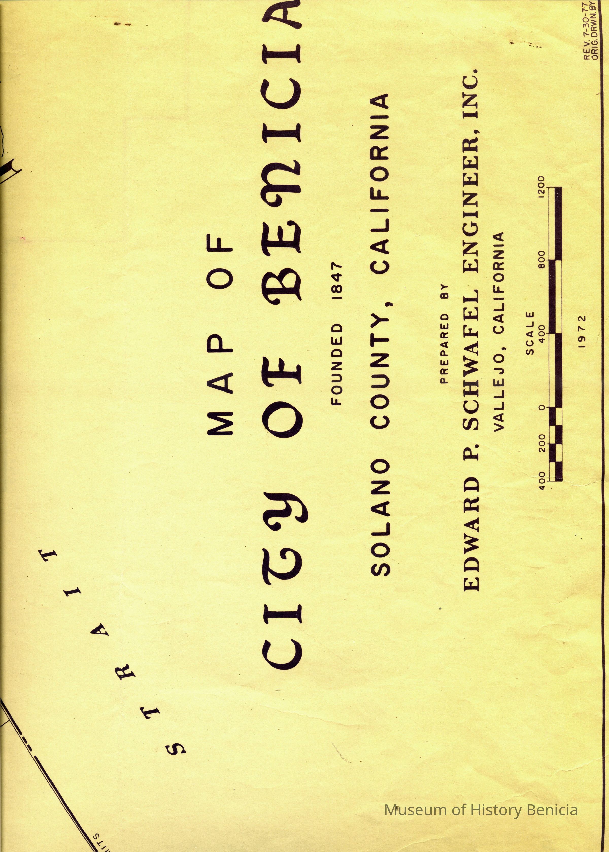
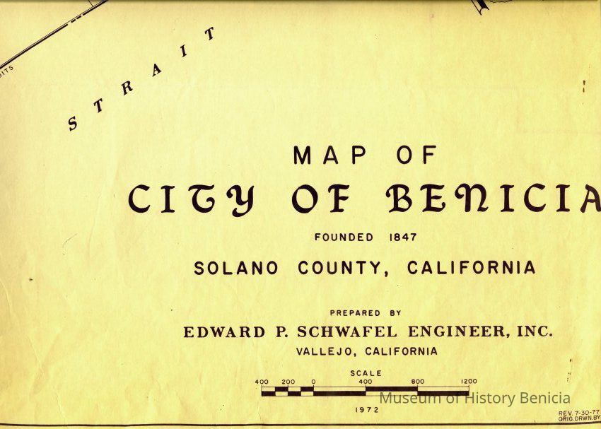
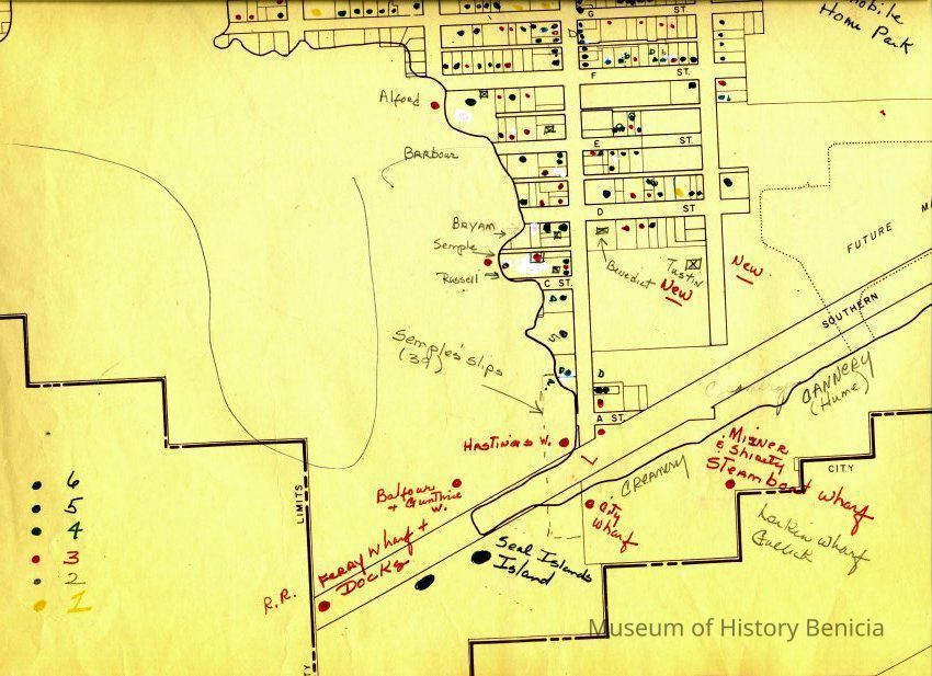
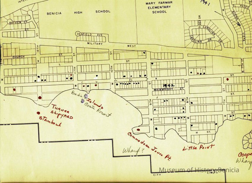
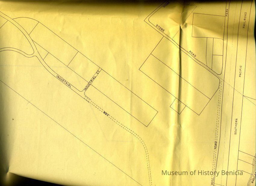
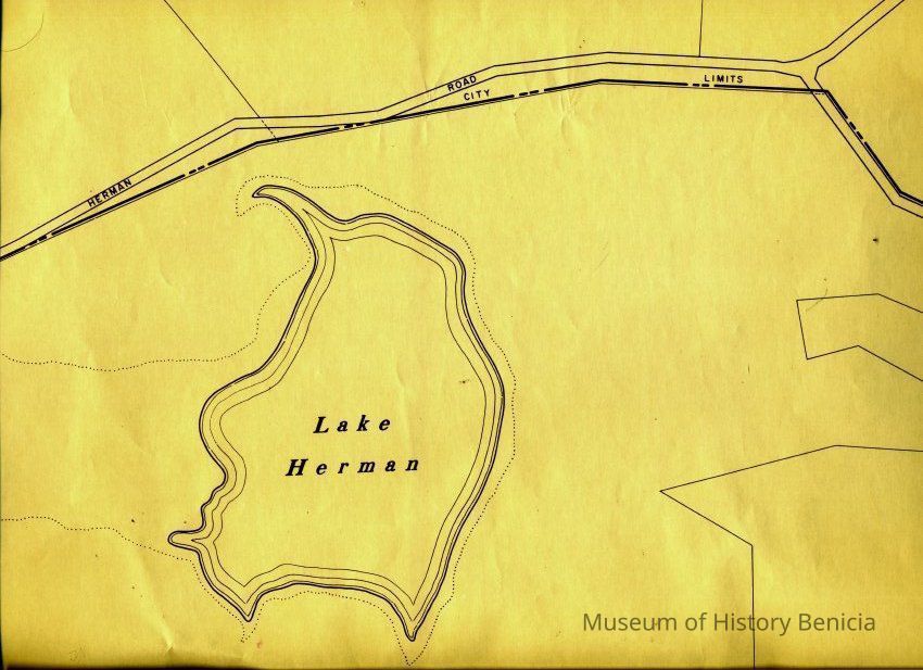
This is a map of the entire city limits of Benicia. It extends from the Carquinez Straits North to Lake Herman and from the State Park to the far side of the Arsenal. It has been hand marked with various historical locations and is color coded for six different types of structures. Not sure what the color codes indicate.
The map is 4 pages with each page 36" x 30".Collection
Benicia Historical Museum Collection