Name/Title
MapEntry/Object ID
2023.99.12Scope and Content
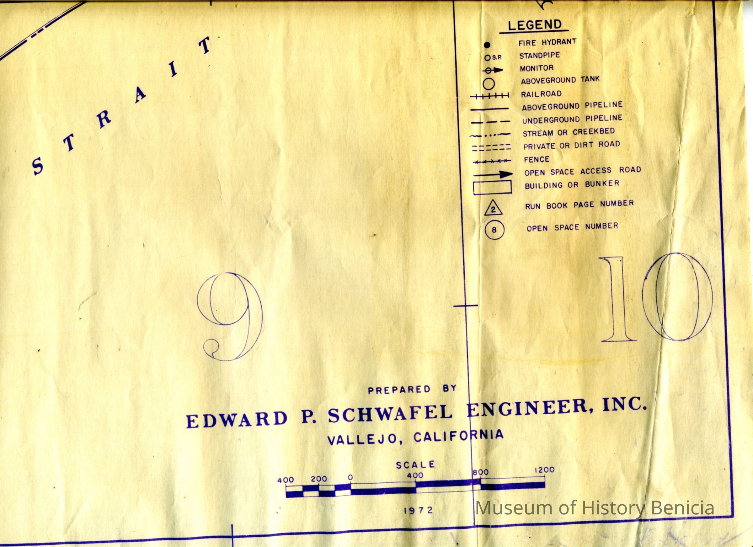
This is a map of Benicia drawn by Edward P. Schwafel, Engineer. The map shows Benicia from Hwy 680 to West 6th street and North to the refinery. Marked on the map are fire hydrants, stand pipes, RR lines, pipelines, creeks, and open space access roads. Not sure of the purpose for this map.Collection
Benicia Historical Museum Collection