Name/Title
MapEntry/Object ID
2018.006.0030Description
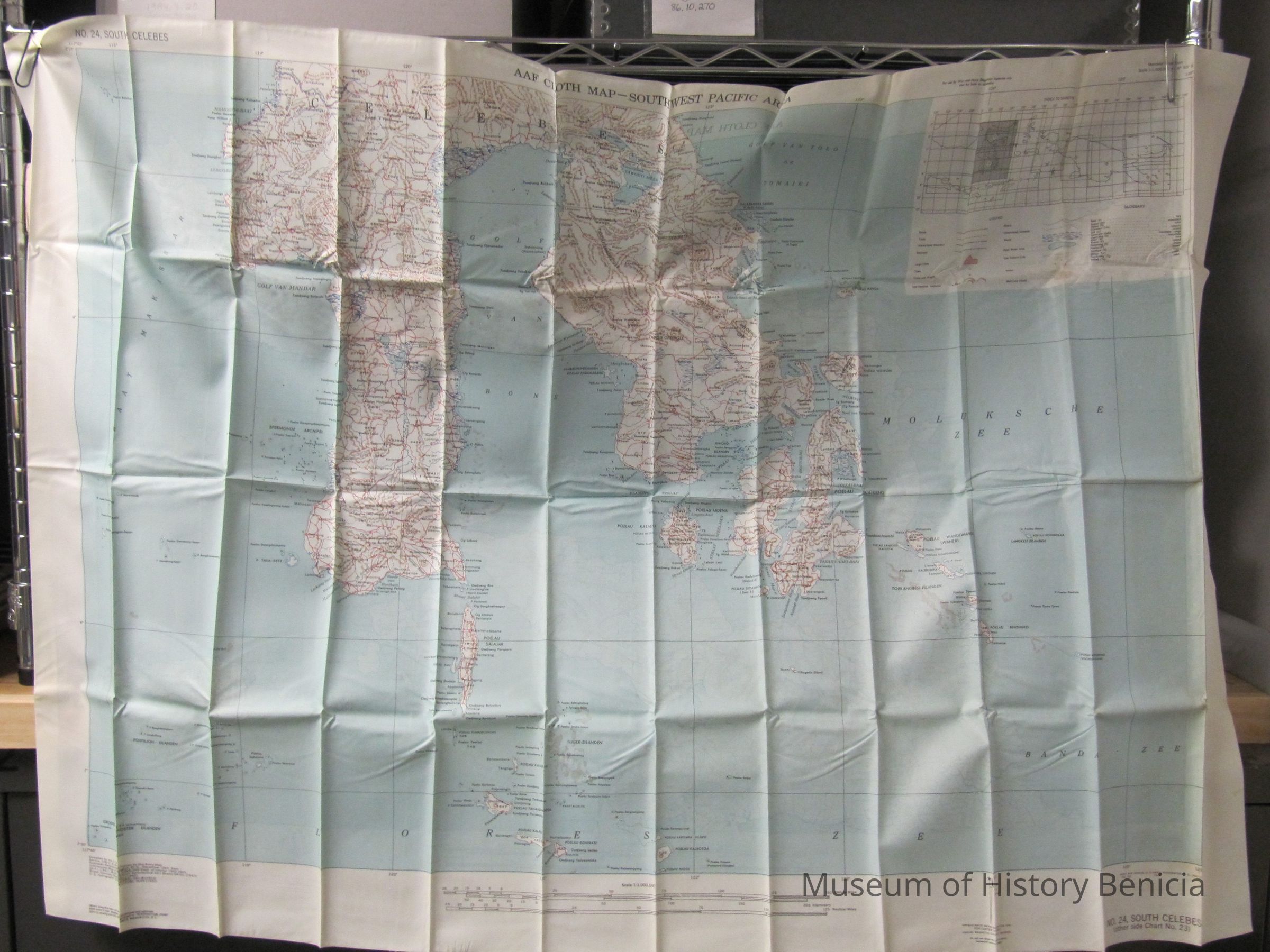
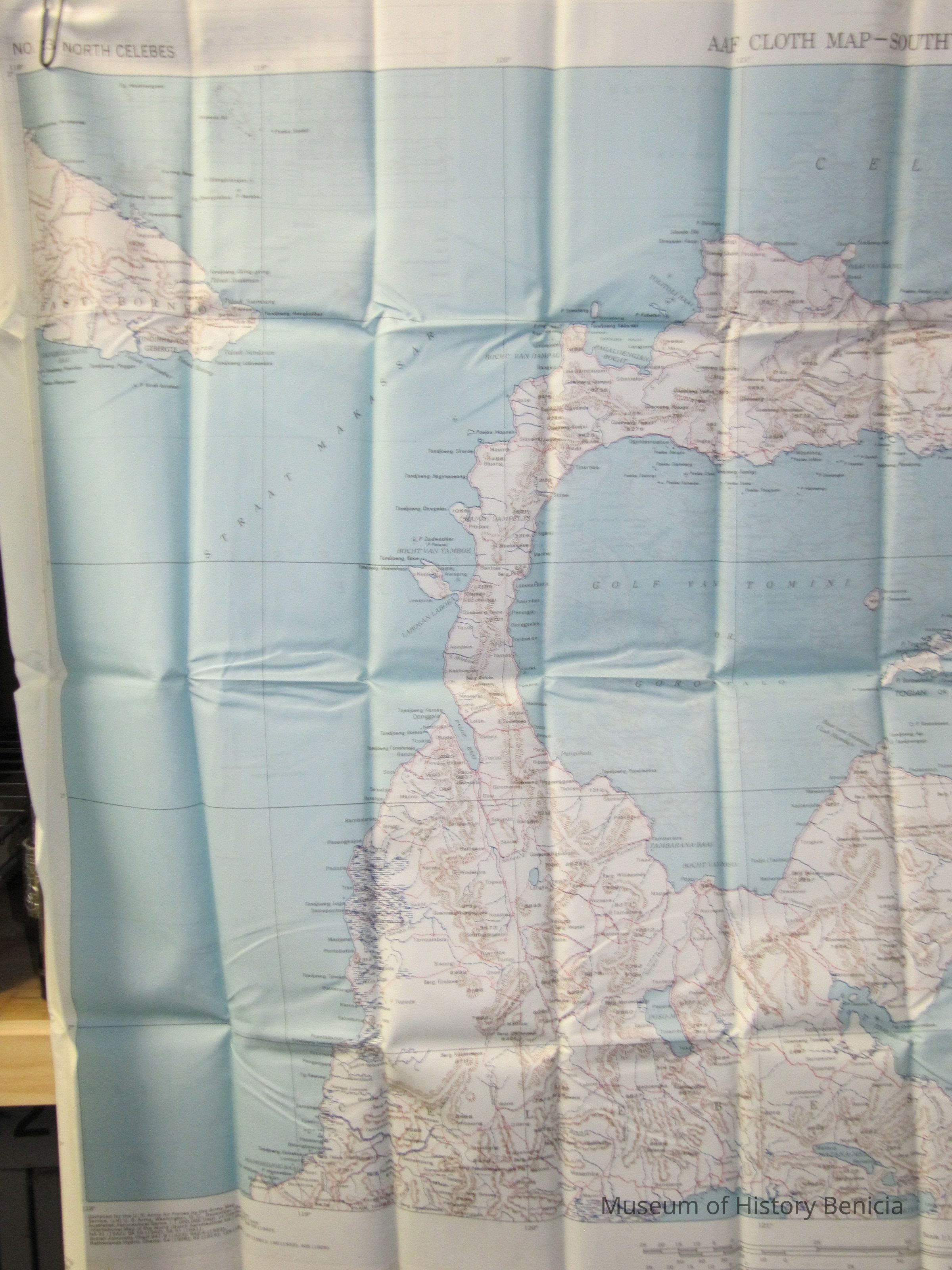
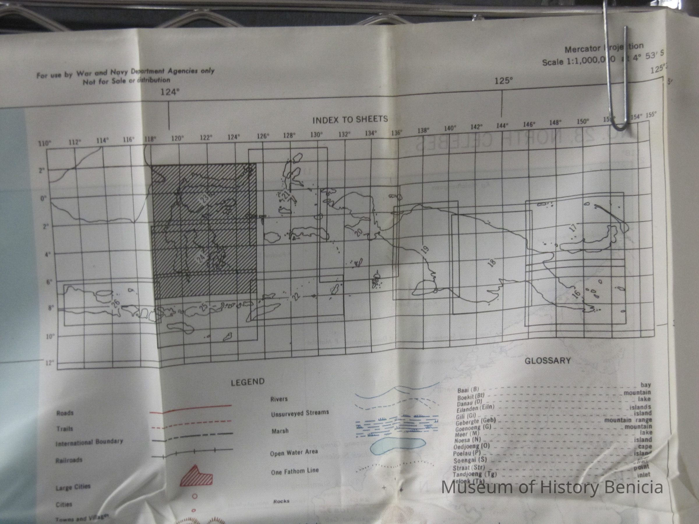
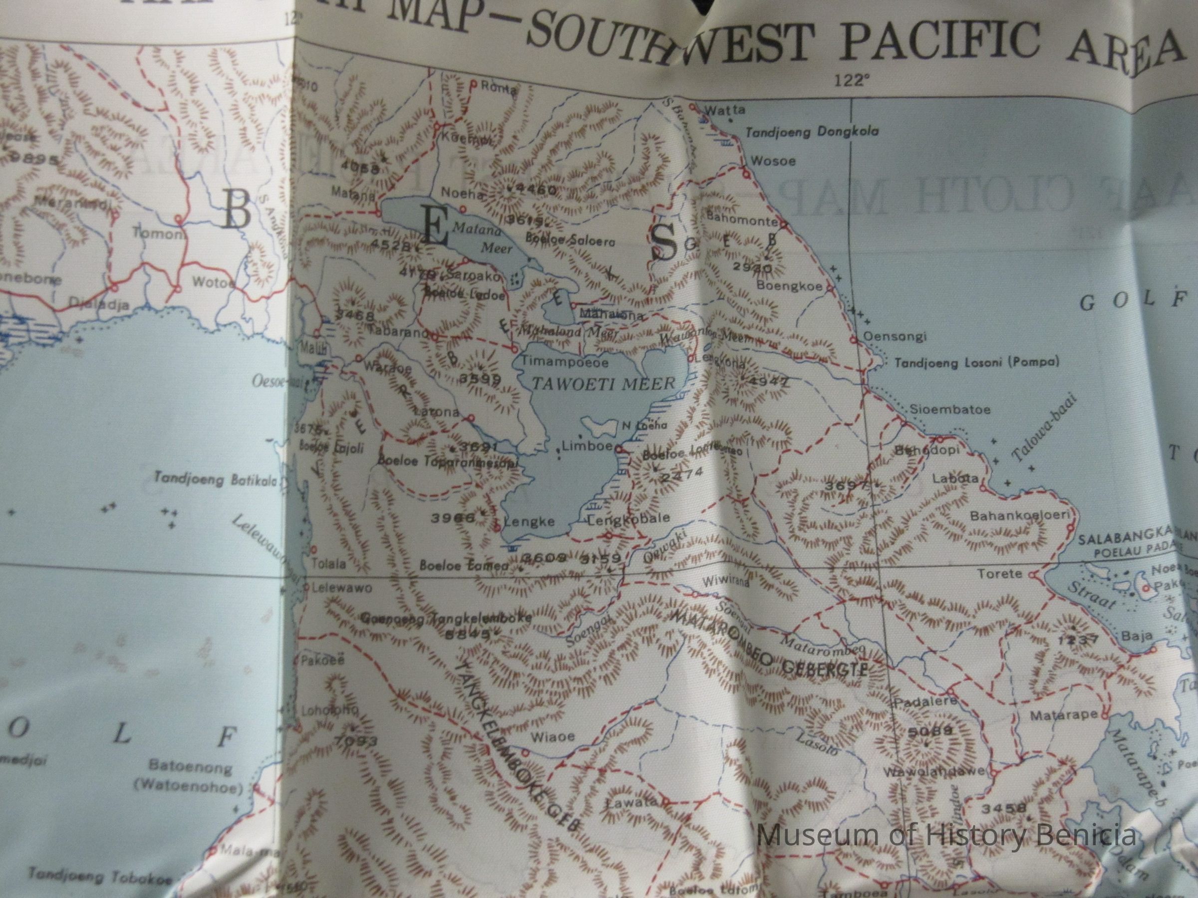
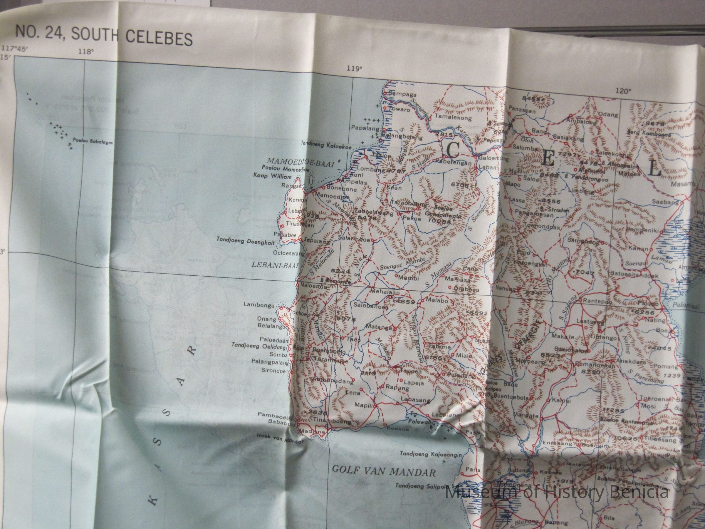
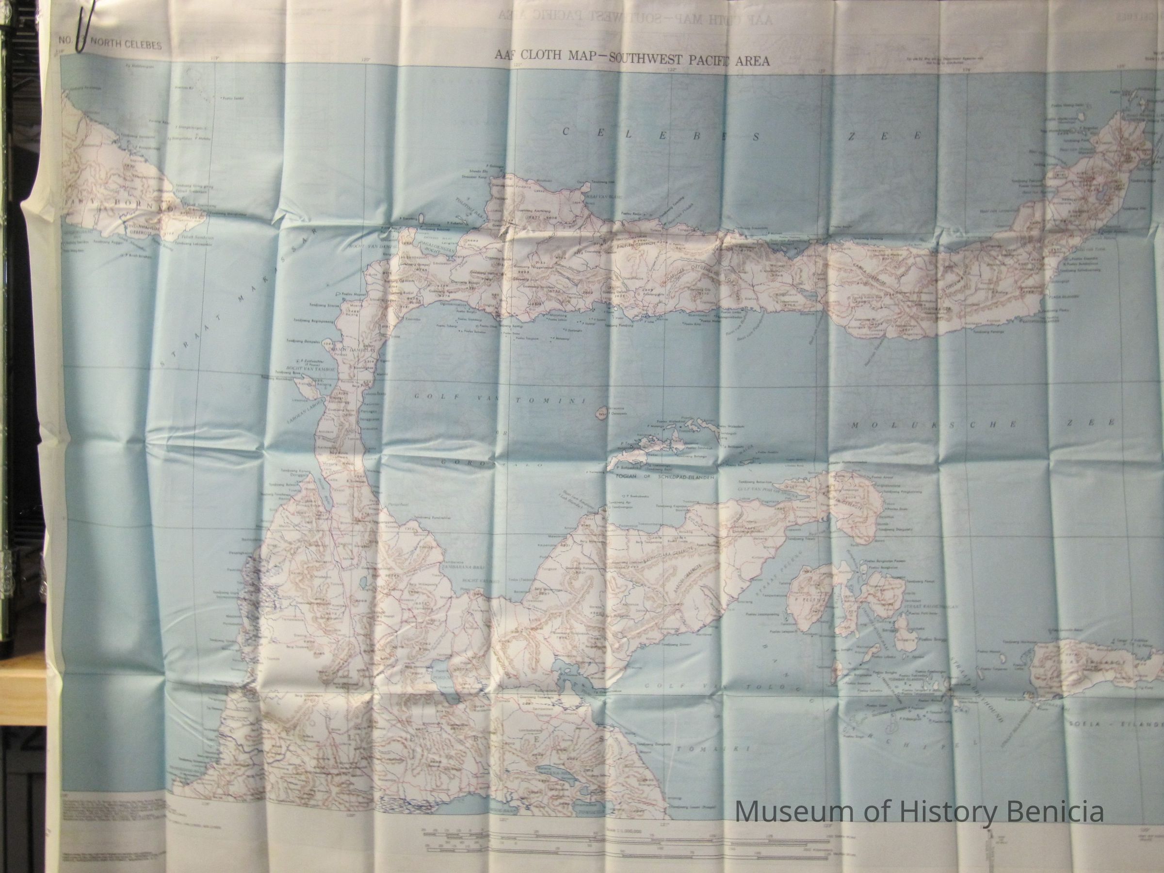
This is a map of the South and North Celebes region of the Pacific. It is map #24 on one side and #23 on the other in the series of maps produced for the Army Air Force during World War II. It is 36" x 26.5" but folds down to a size that can fit in a pocket.
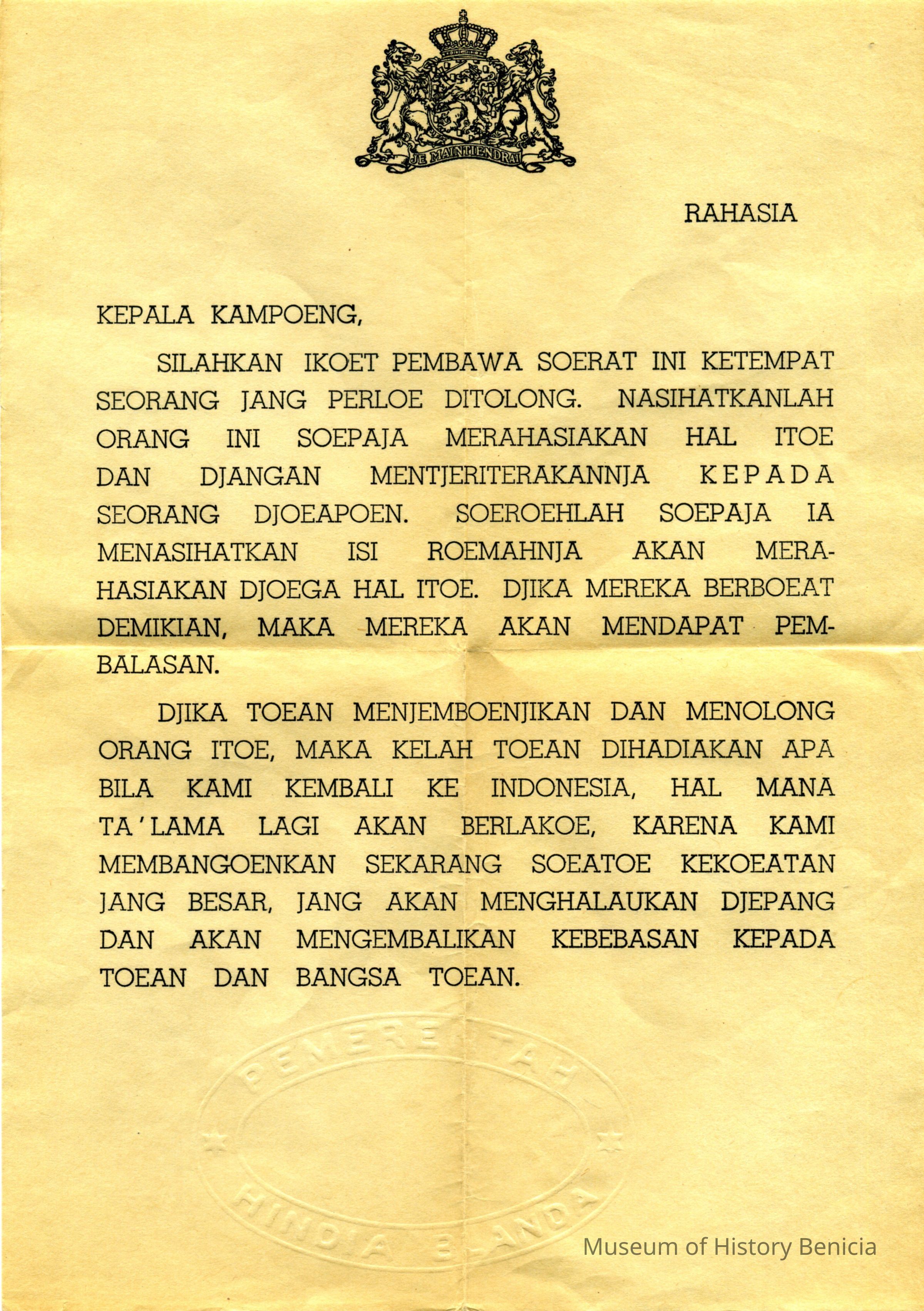
It also came with a piece of paper with the Netherlands Royal seal at the top. It appears to be written in a language from Indonesia. Not sure of the purpose of this paper.
During World War II, the United States and Great Britain produced in excess of 3.5 million silk maps and cloth maps for Allied military personnel to use as escape maps. In 1940, the British military intelligence unit, known as MI 9, started issuing silk maps for use by British aircrews shot down over enemy occupied territory in Europe. The silk maps were intended to assist airman in evading capture. MI 9 also smuggled silk and tissue paper escape maps into POW camps in Germany along with other escape aids to encourage POWs to attempt escape.
After the US's entry into WWII, US military intelligence officers learned of the activities of MI 9 and established a similar intelligence unit referred to as MIS-X, which began mass producing cloth maps and tissue paper escape maps for US military personnel. The first US cloth maps were printed on balloon cloth, but soon thereafter a more suitable material, acetate rayon, was found and used for all subsequent cloth maps.Collection
Benicia Historical Museum Collection