Name/Title
MapEntry/Object ID
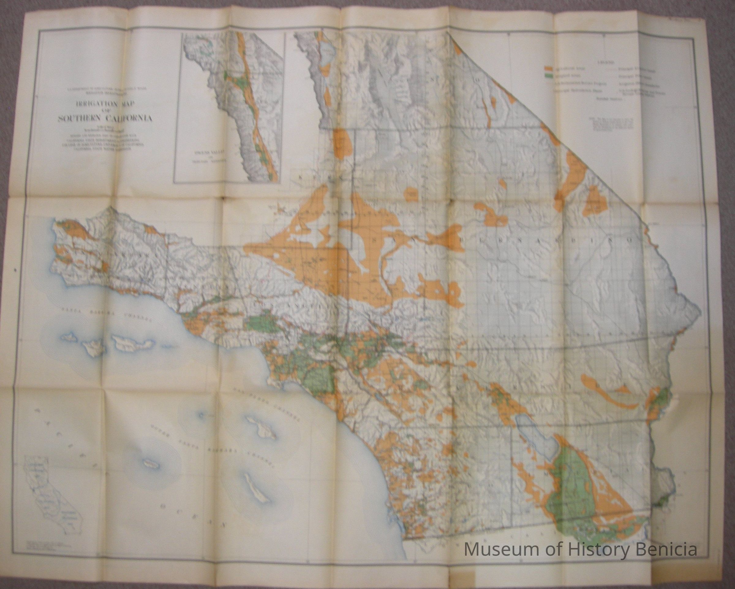
2018.023.0017Scope and Content
U.S. Department of Agriculture - Bureaum of Public Roads
Irrigation Investigations: Irrigation Map of Southern California
(3 in a set of 3)
Revised and Redrawn in 1920 in cooperation with:
California State Dept. of Engineering; College of Agriculture, University of California; and California State Water Commission 1922
map extends roughly from the northern border of
Santa Barbara/Ventura/Kern/part of Inyo Counties to the Mexico/California Border
the base was compiled chiefly from the latest U.S. Land Office, War Dept., Forest Service and Geological Topographic Maps;
colors of orange/green/white; size: 40" x 51-"
on the back is the stamp of the Benicia Chamber of CommerceCollection
Benicia Historical Museum Collection