Name/Title
MapEntry/Object ID
2012.099.0046Scope and Content
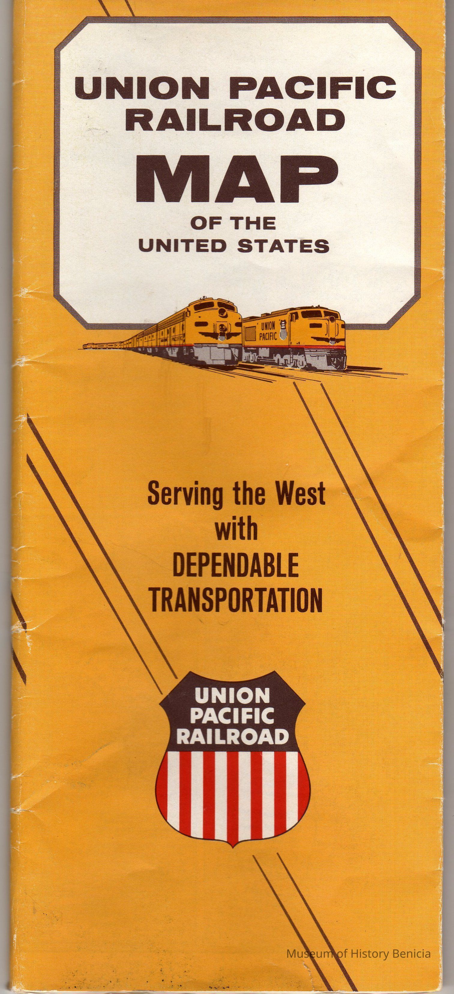
"Union Pacific Railroad Map of the United States" - in color
copyright 1964
shows the tracks (in red), stops, and connections of the Union Pacific Railroad beginning in Chicago and/or St. Louis and ending in California, Oregon or Washington.
Also includes photographs of scenes from the route to the West, some Union Pacific yards and trains (inside and out). The photographs inside the train cars of people traveling are definitely from the 1950's and 1960's. There is also advertising information about the railroad company.
Printed in USA 1-64 Rand McNally - Chicago
size: folded 9-1/2" x 4" open 32" x 19"Collection
Benicia Historical Museum Collection