Name/Title
MapEntry/Object ID
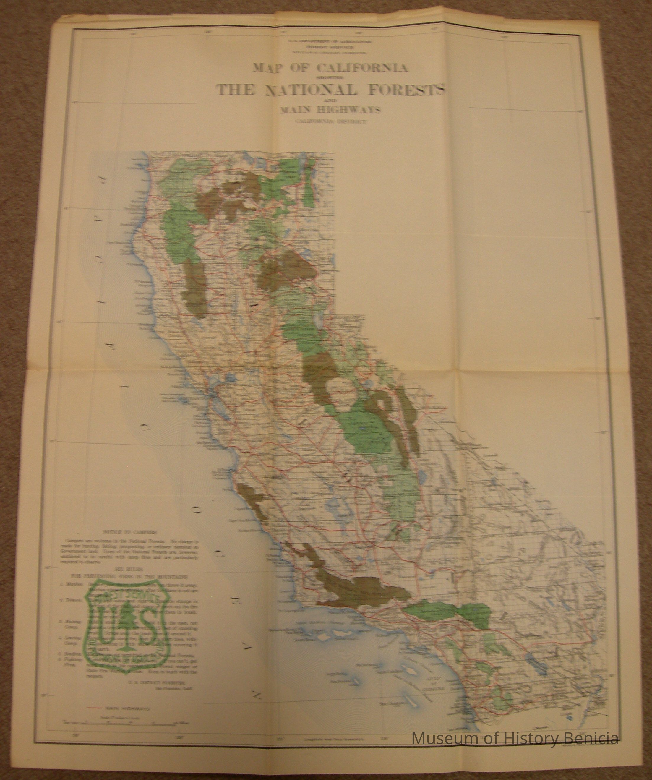
2018.023.0012Scope and Content
Map of California showing The National Forests and main Highways, California District, U.S. Department of Agriculture, Forest Service, William B. Greeley, Forester
Printed by the U.S. Geological Survey - the scale is 37 miles to the inch for main highways.
There is no date on the map but it could be as early as the 1930's or late as the 1950's;
Included is an inset with information/notice to campers - six rules for preventing fires in the mountains)
size: 20" x 26"
also on the back is the stamp of the Benicia Chamber of CommerceCollection
Benicia Historical Museum Collection