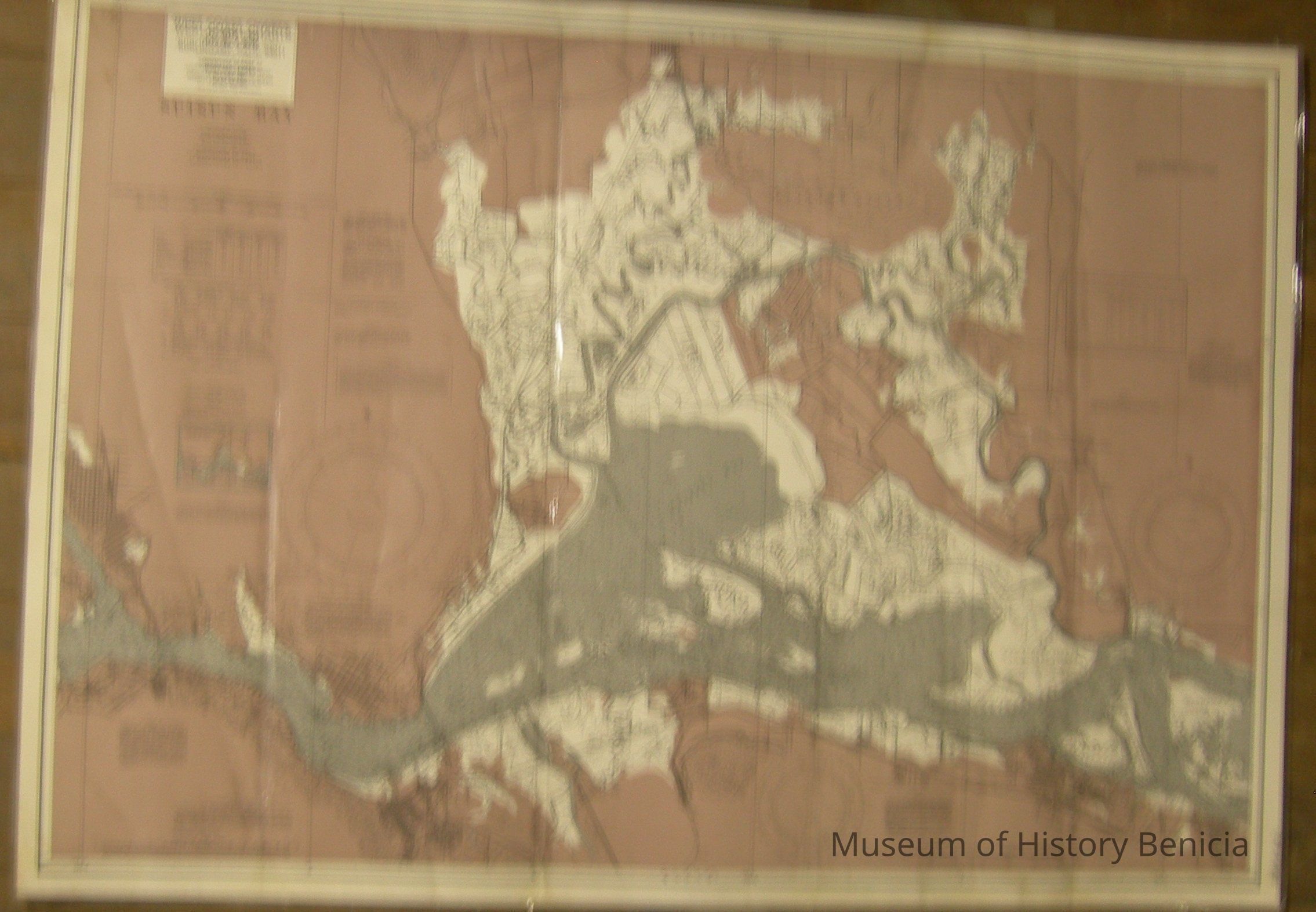
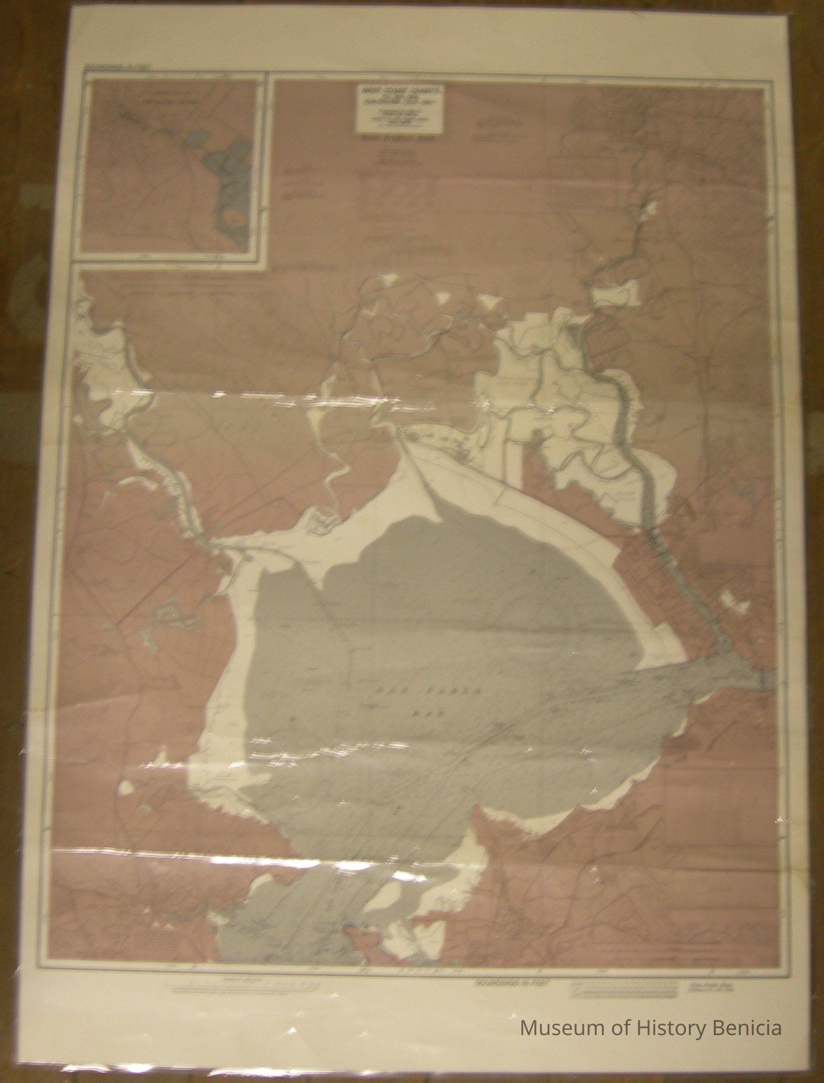
Name/Title
mapEntry/Object ID
2009.016.0002Description
Two Sided: Suisun Bay/San Pablo Bay soundings in feet at mean low water - heights in feet above mean high water (not to be used for navigation
colors: brown, gray and white with black ink
only date noted was for Sacramento River Deep Water Ship Channel information: Nov. 1963 - Jan 1984 [definitely after 1962 as the first Benicia Martinez Bridge is indicated on the map]
Insets: Continuation of Petaluma River (San Pablo Bay side)Collection
Benicia Historical Museum Collection