Name/Title
MapEntry/Object ID
2018.023.0014Scope and Content
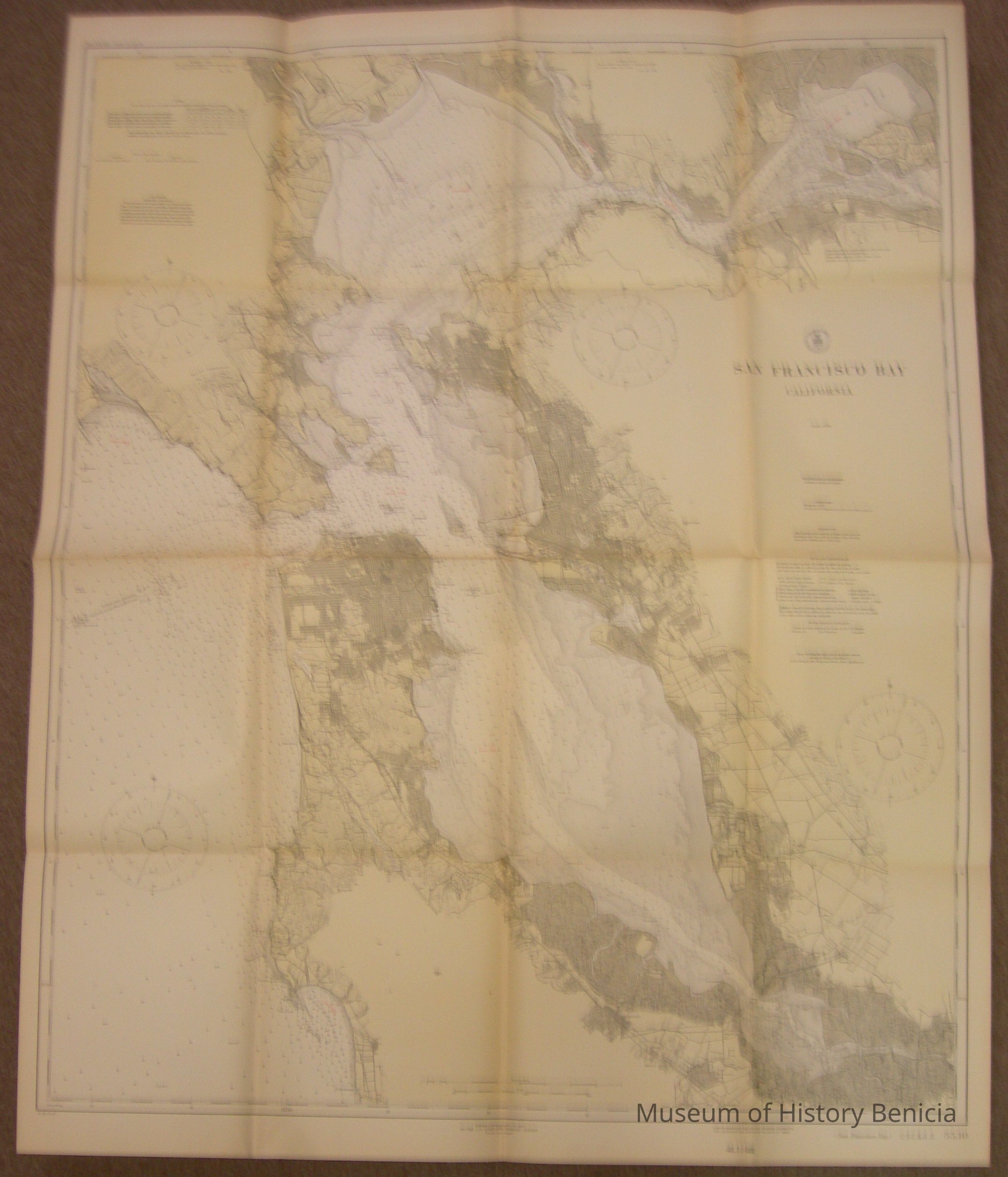
Dept. of Commerce - United States - West Coast
San Francisco Bay California
Soundings are in fathoms at mean lower water level
Published at Washington D.C. October 1925 by
U.S. Coast & Geodetic Survey Survey, E. Lester Jones, Dir.
note at bottom: Lights, Beacons, Buoys and Dangers corrected for information received to date of issue -
stamped July 10, 1926 #5530
heavy weight paper, colored in yellows and browns
size: 35-1/4" x 44"
on the back is the stamp of the Benicia Chamber of CommerceCollection
Benicia Historical Museum Collection