Name/Title
MapEntry/Object ID
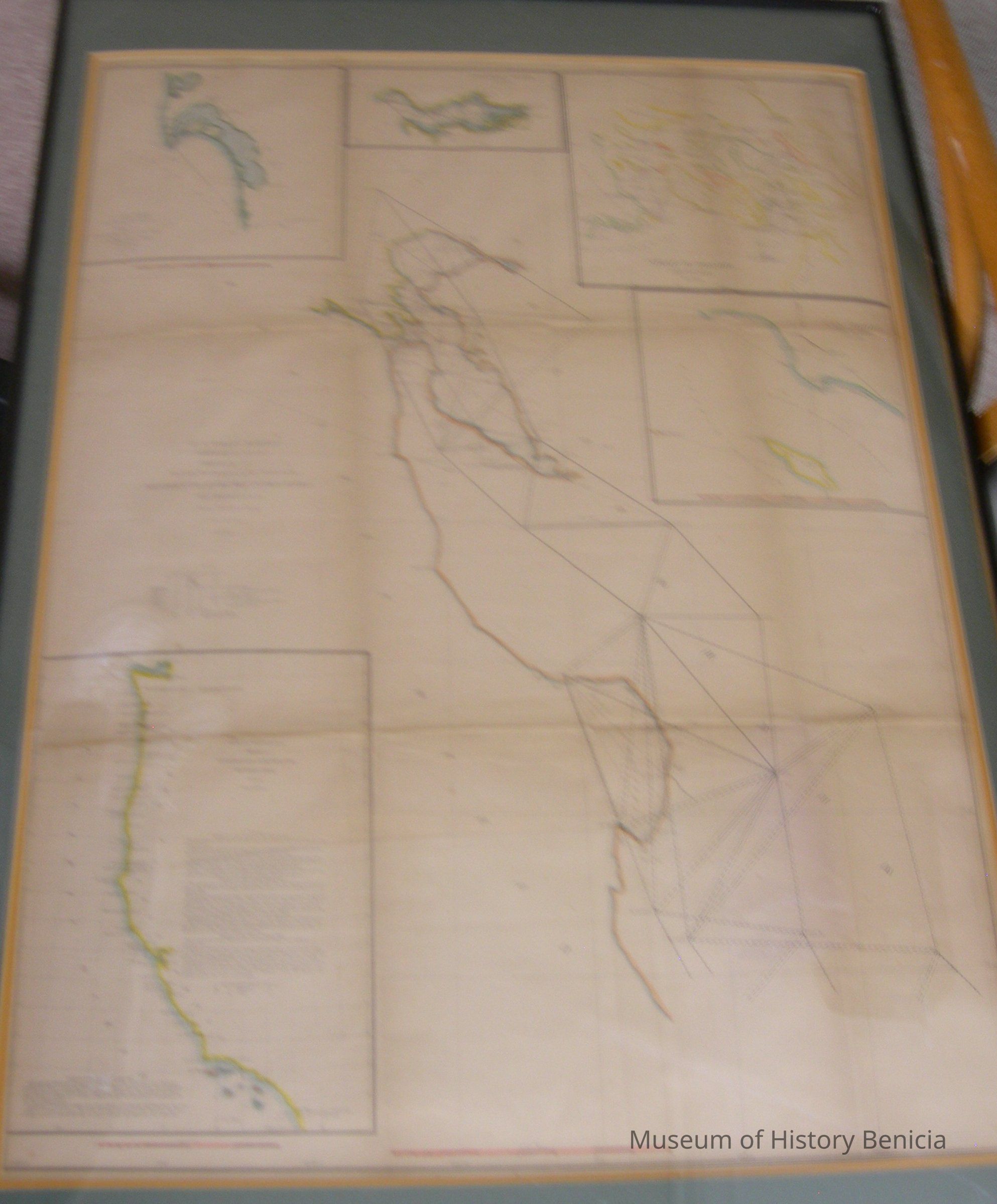
2019.019.0004Scope and Content
Map - U.S. Coast Survey
A. D. Bache, Superintendent
Sketch J [divided into six parts]
Western Coast of the United States
Sections X & XI
from 1850-1854
scale 1/400,000
1. San Francisco Bay down to Monterey Bay
2. San Diego Bay
3. Columbia River Oregon
4. Strait of Rosario (Washington - Vancouver)
5. San Pedro
6. Washington Territory, Oregon and California Coast
includes information on the progress of the Survey
in a black frame under glass;
blue, yellow, pink and black ink on ecru background
frame 24" x 36" matted size 22" x 30-1/2"Collection
Benicia Historical Museum Collection