Name/Title
MapEntry/Object ID
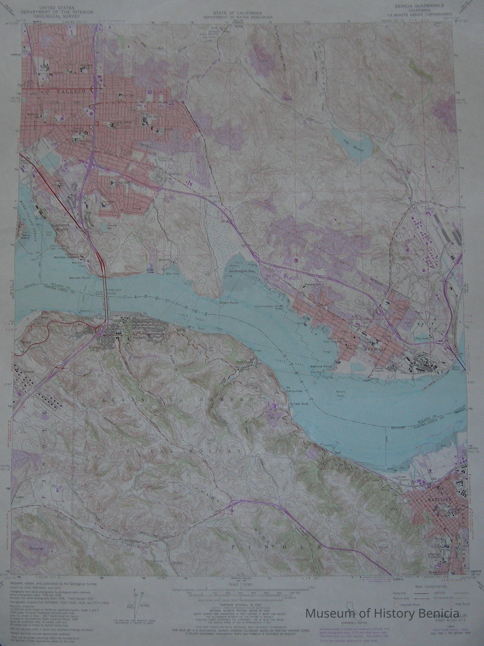
2017.007.0013Scope and Content
Map - United States Department of the Interior
Geological Survey - topographic scale 1 : 24 000
State of California - Department of Water Resources
Benicia Quadrangle
topography from aerial photographs taken 1948 and 1958
field checked 1959
revisions compiled from 1979 photographs
map edited/revised in 1980
colors: light pink, dark pink, red, shades of purple, blue, green
22" x 27"Collection
Benicia Historical Museum Collection