Name/Title
MapEntry/Object ID
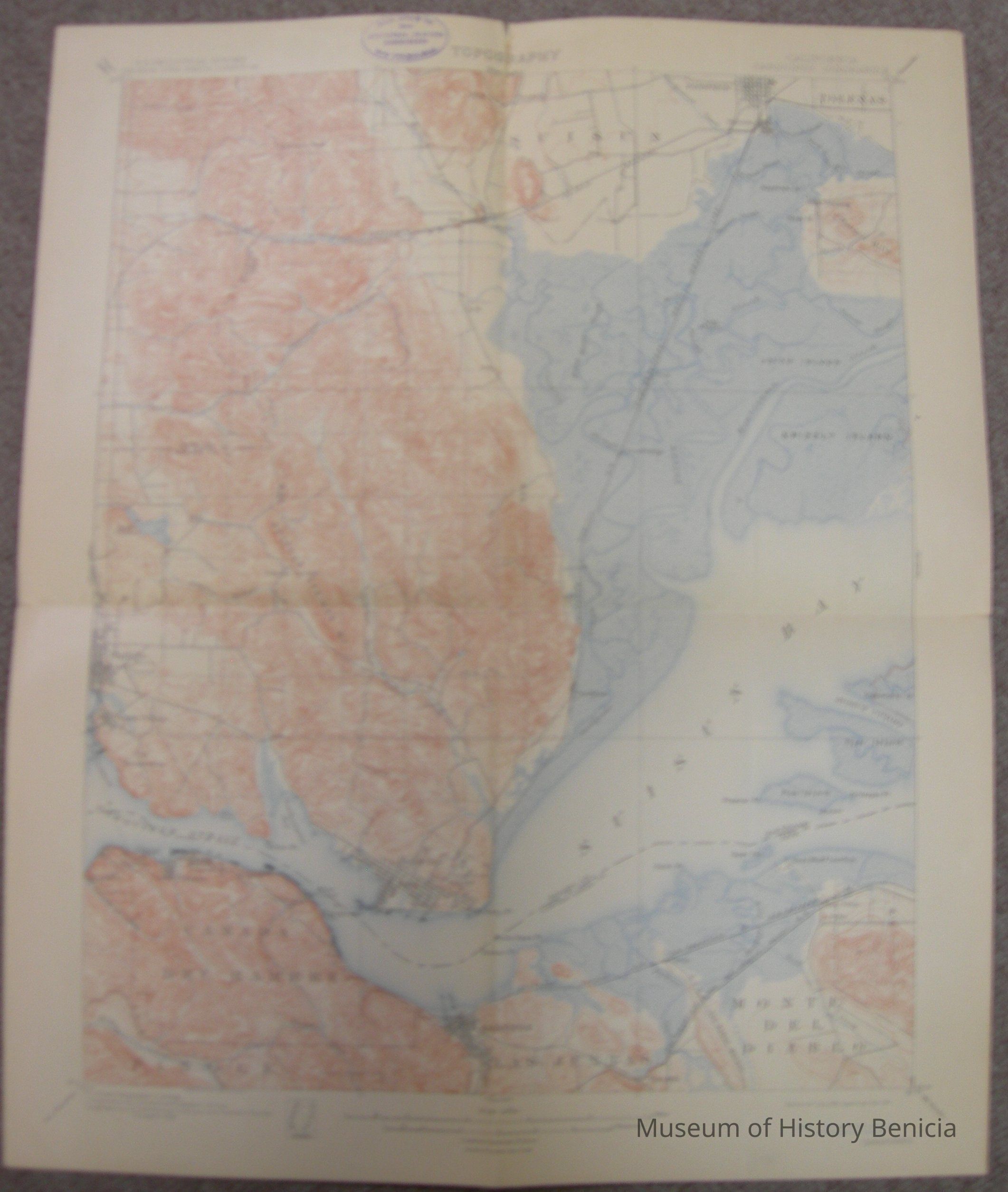
2018.023.0011Scope and Content
Totographic Map - California Carquinez Quadrangle
U.S. Geological Survey, George Otis Smith, Director
Triangulatin by U.S. Coast Guard & Geodetic Survey;
Topography by L.C. Fletcher, USCG, Geodetic Survey,
surveyed in 1896 (contour interval is 25 feet)
Edition of July 1901 - Reprinted October 1911
Pastel colors, 16-1/2" x 20"
on the back: Description of the topographic map of the United States from the Director of the U.S. Geological Survey, Washington D.C., February 1911; included is information and descriptions of the "signs" on the map.
also on the back is the stamp of the Benicia Chamber of CommerceCollection
Benicia Historical Museum Collection