Name/Title
MapEntry/Object ID
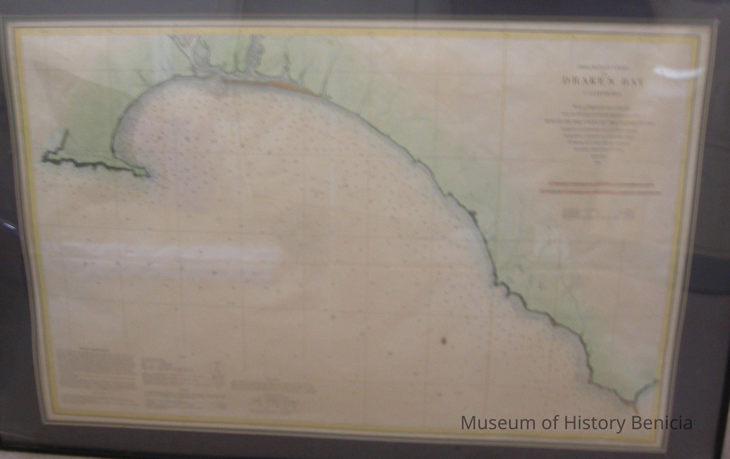
2019.019.0003Scope and Content
Map - Preliminary Chart of
Drake's Bay California
From a Trigonometrical Survey
under the direction of A. D. Bache, Superintendent of the
Survey of the Coast of the United States
Triangulation by A.F. Rodgers and G. Davidson, Assistants
Topography by JS. Lawson and A.F. Rodgers, Assists.
Hydrography by the Party under the command of
Commander Janes Alden U.S.N., Assist.
scale 1/40,0000 1860
includes Tide Table, sailing directions and dangers, and information on soundings
in a black frame under glass;
black, pale green and brown ink on ecru background
frame 24" x 36" matted size 20" x 30-1/2"Collection
Benicia Historical Museum Collection