Name/Title
MapEntry/Object ID
2014.029.0001Scope and Content
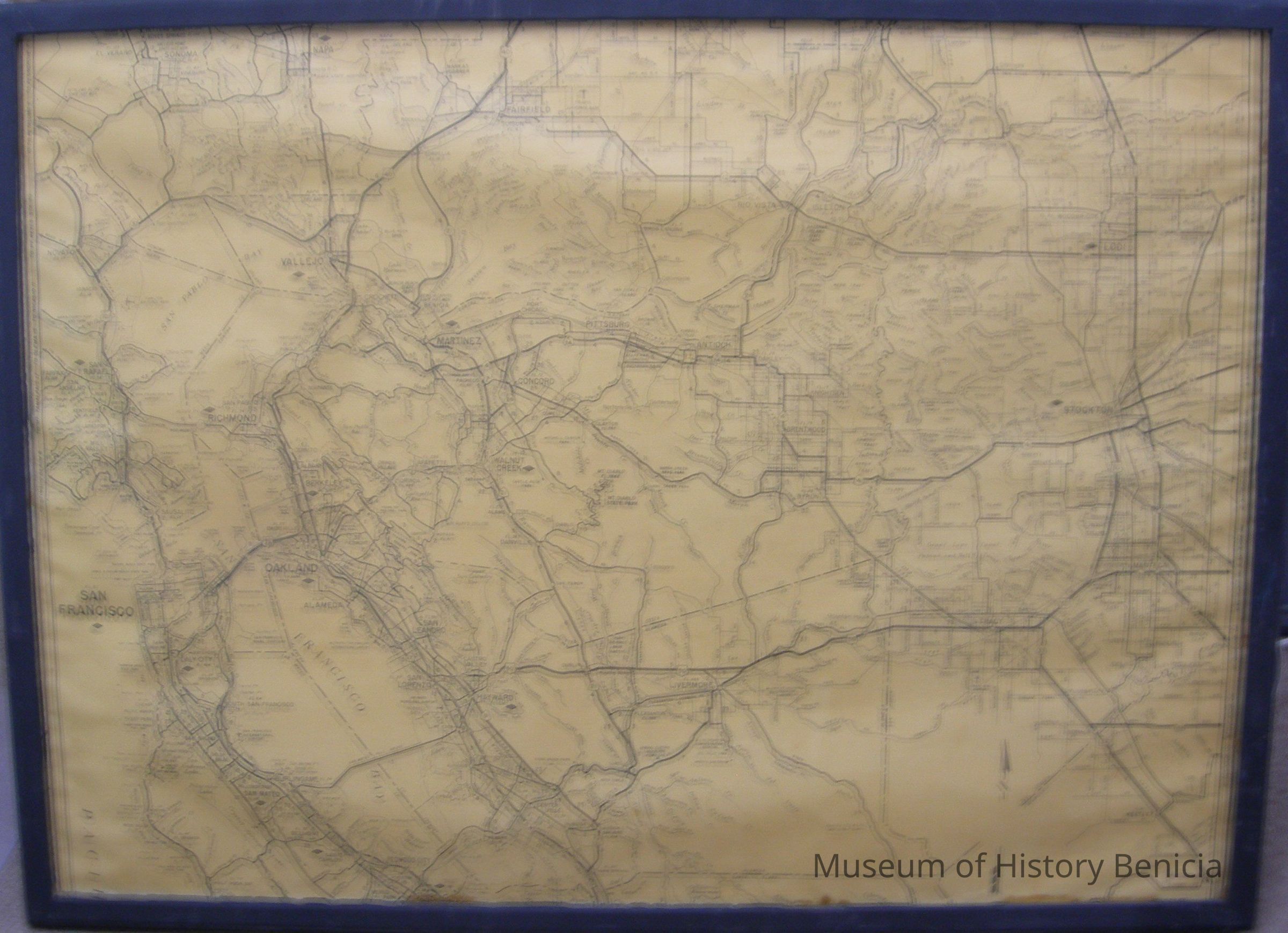
Map in a black wooden frame; black ink on brown paper;
Maker/publisher unknown
Shows all or part of counties: Alameda, Contra Costa, Marin, Napa, San Francisco, San Joaquin, San Mateo, Santa Clara, Solano, Sonoma, Stanislaus;
Contra Costa County is basically in the center;
Shown are main roadways, cities and other man-made and natural landmarks of the time of the early to mid 1950's;
The map can be dated by the fact the name of the Fairfield-Suisun Army Air Base was renamed Travis Air Force Base in 1951 and that is the name shown on the map. Also it was drawn before 1960 because there is no indication of a Benicia Martinez Bridge or even a "proposed" bridge - "Ferry" and a dotted line connect Benicia and Martinez.
There are diamond shapes [ <>] shown beside 16 cities bu the meaning is unclear; the cities are Berkeley, Daly City, Hayward, Lodi, Martinez, Napa, Oakland, Palo Alto, Richmond, San Carlos, San Francisco, San Mateo, San Rafael, Stockton, Vallejo, Walnut Creek.Collection
Benicia Historical Museum Collection