Name/Title
MapEntry/Object ID
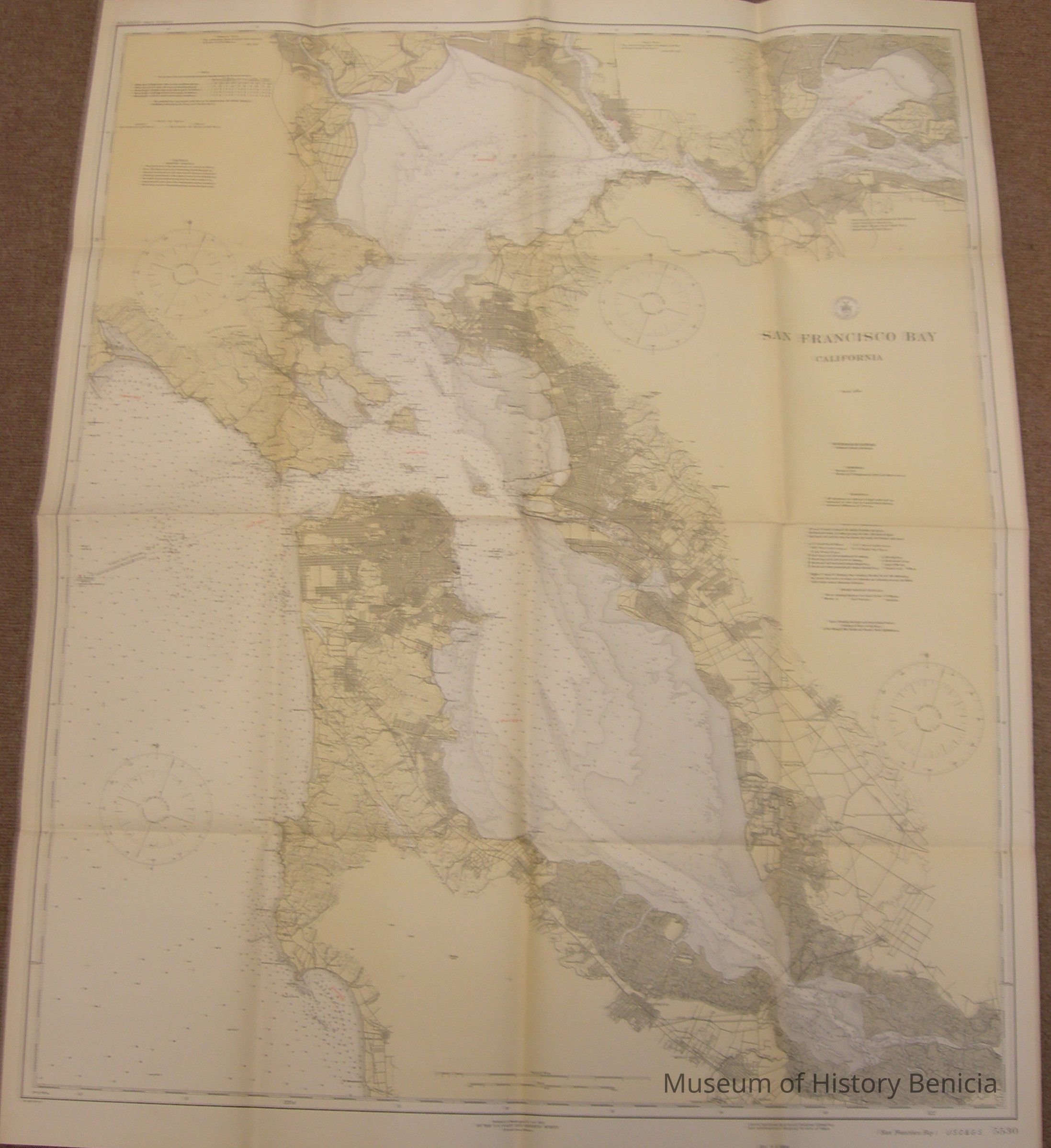
2008.004.0050Scope and Content
Map of San Francisco Bay
colors: maize, five shades of gray, brown
scale one inch = 80,000 feet
soundings in Fathoms at mean low water
published at Washington D.C.
by the U.S. Coast and Geodetic Survey
E. Lester Jones, Director
October 1925
Lights, Beacons, Buoys and Dangers corrected for information received to date of issue map #5530
water way coverage extends from Halfmoon Bay and Alviso in the south to Tubbs Island in the north to Grizzley Island in the East
size: 35" x 44" folds to 11" x 9
stamped on back: Chamber of Commerce, Benicia, Cal.
July 10, 1926Collection
Benicia Historical Museum Collection