Name/Title
MapEntry/Object ID
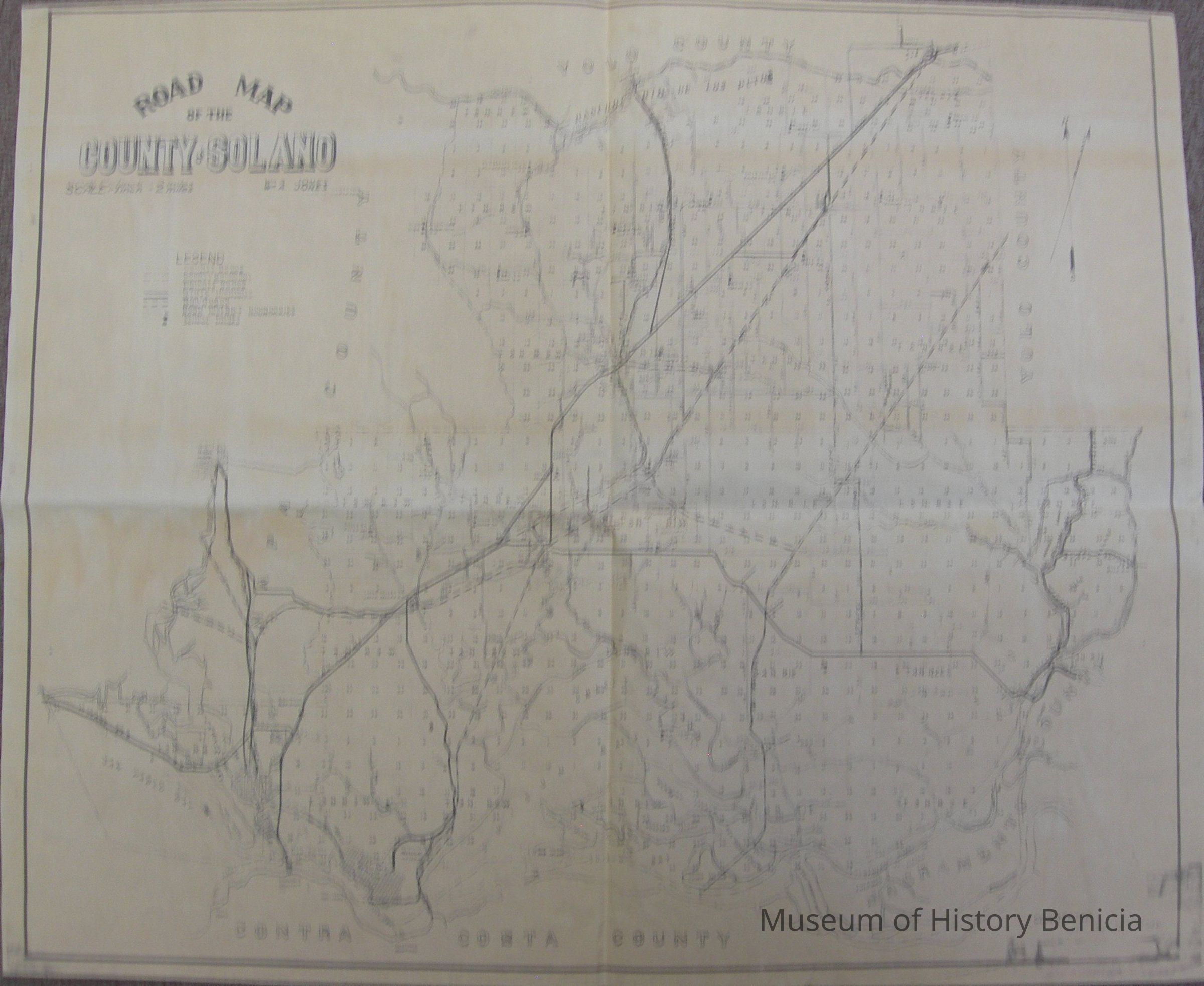
2008.004.0053Scope and Content
Road Map of the County of Solano
Wm A. Jones, County Surveyor
Corrected to August 15, 1948
Legend indicated County Roads, County Boundary, Private Roads, State Highways, Railroads, Road District Boundaries, and School Houses
scale 1 inch = 2 miles
black ink on brown background
size: 24-1/2" x 20-1/4"Collection
Benicia Historical Museum Collection