Name/Title
MapEntry/Object ID
2016.024.0009Scope and Content
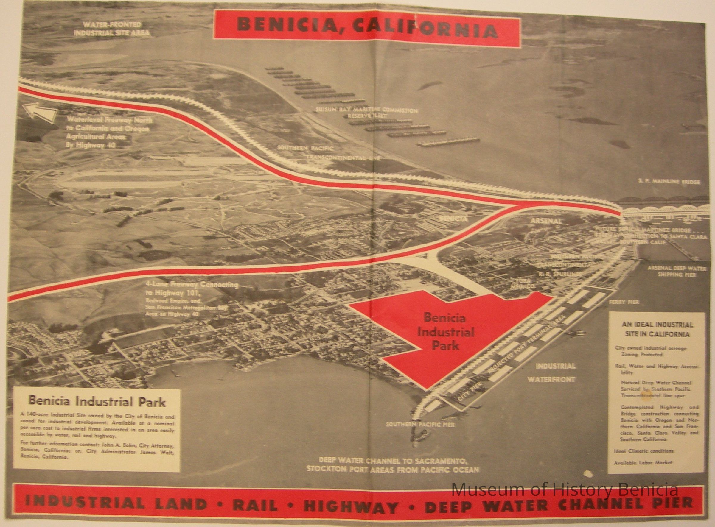
Map of Benicia promoting the city as "An Ideal Industrial Site in California"
A gray-scale map with red and white information super-imposed to show the potential; future locations of freeways, waterfront improvements, new bridges.
The Industrial Park area is superimposed over the East side of town from first to fifth streets, which is incorrect.
At the bottom: "Industrial Land * Rail * Highway * Deep Water Channel Pier"
size: 18-1/2" x 13-1/2"Collection
Benicia Historical Museum Collection