Name/Title
MapEntry/Object ID
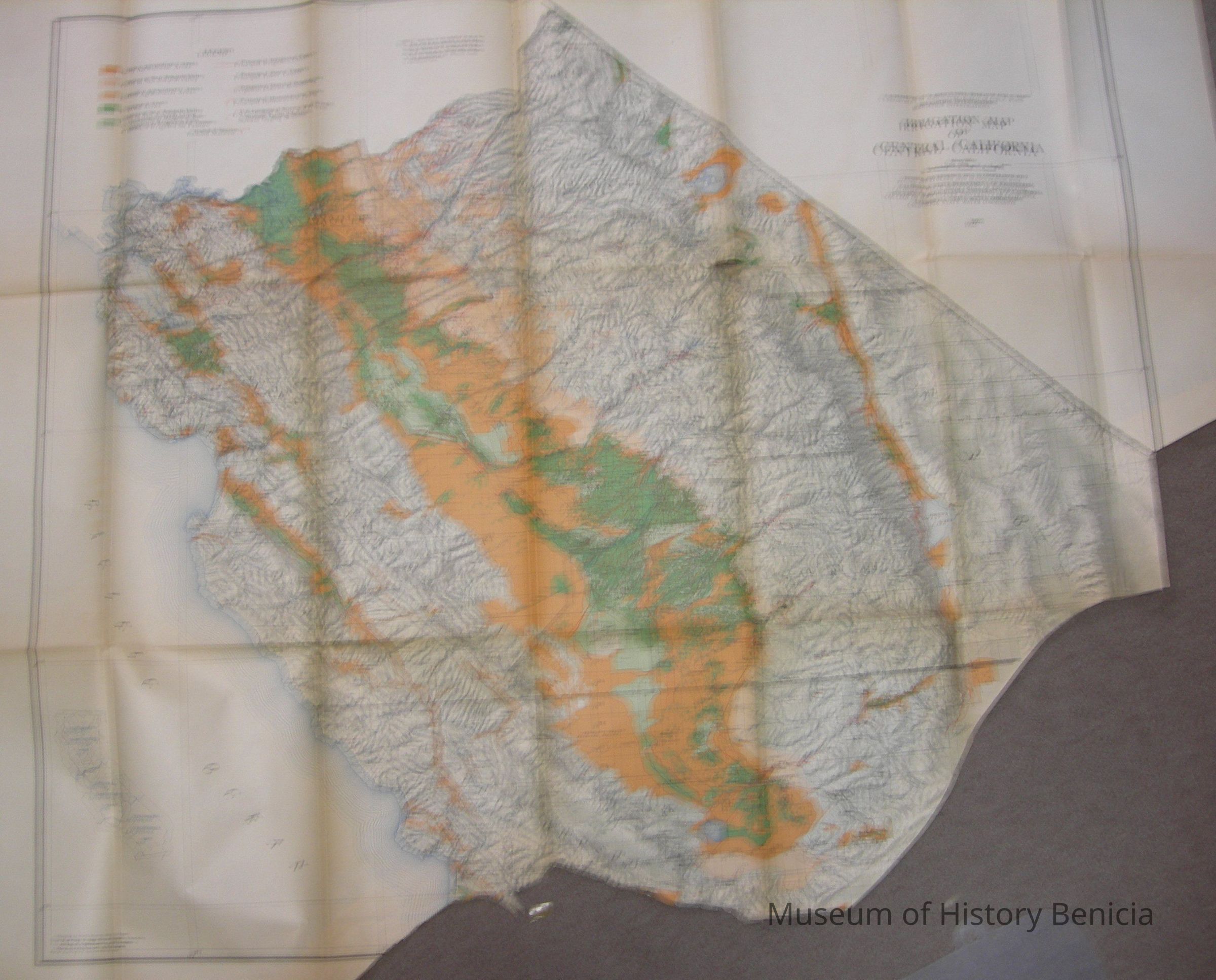
2018.023.0016Scope and Content
U.S. Department of Agriculture - Bureaum of Public Roads
Irrigation Investigations: Irrigation Map of Central California
(2 in a set of 3)
Revised and Redrawn in 1920 in cooperation with:
California State Dept. of Engineering; College of Agriculture, University of California; and California State Water Commission 1922
map extends roughly from the northern border of
Contra Costa/San Jaoquin/Calaveras/Alpine Counties to the southern border of San Luis Obispo/Kern/Inyo Counties
the base was compiled chiefly from the latest U.S. Land Office, War Dept., Forest Service and Geological Topographic Maps;
colors of orange/green/white; size: 39" x 51-1/2"
the bottom was cut to blend with map 3 - Southern California
on the back is the stamp of the Benicia Chamber of CommerceCollection
Benicia Historical Museum Collection